The Great Smoky Mountains can be entered from Tennessee or North Carolina, and that choice shapes the whole trip. The park has one main road across it, Newfound Gap Road, and a closure on that road can turn a short crossing into a long drive around the mountains. Most guides start with the stops. This one starts with the gateway and the crossing, because a Great Smoky Mountains road trip that depends on the crossing needs a plan for the day it isn’t available.
Some visitors are better served by exploring one side of the park than by crossing it, and that’s a legitimate plan. This guide helps you decide which gateway to use, whether to cross, how Cades Cove and the other spurs fit, how much time to allow, and how to connect the Smokies with nearby routes. It uses two Miles & Mapped frameworks, Return Load and Smokies Trip Load, and it treats Newfound Gap Road as a commitment point.
Great Smoky Mountains Road Trip at a Glance
| Planning Choice | Main Consideration | What to Check |
|---|---|---|
| Tennessee gateway | Gatlinburg and Townsend lead to different parts of the park | Which destinations you want, and the road from your gateway to them |
| North Carolina gateway | Cherokee leads toward Newfound Gap Road and the Blue Ridge Parkway | Current road status and your route in and out |
| Newfound Gap Road | The main cross-park road, subject to frequent closure | NPS current conditions before you commit to the crossing |
| Cades Cove | A destination spur with its own timing and traffic | Current operating arrangements, including vehicle-free days |
| Other spurs | Several park roads close for winter | Seasonal status of each road you plan to use |
| Seasonal access | A road can be closed while the park is open | The specific road, not just the park |
| Current road conditions | Conditions change with weather and maintenance | The NPS page and the state road-status sites |
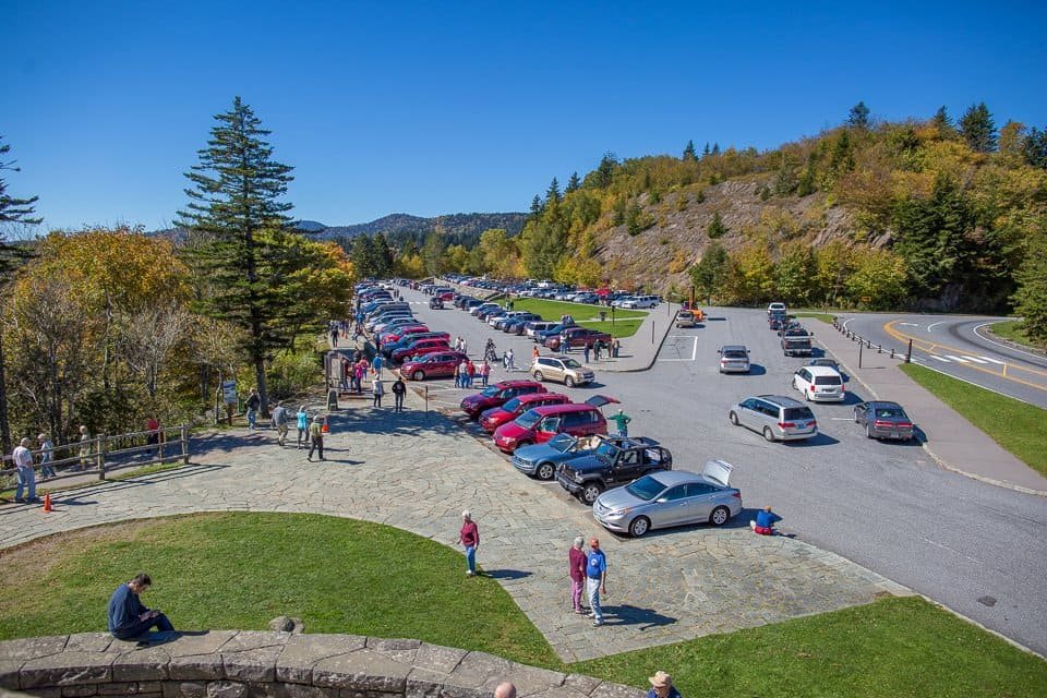
Why One Road Shapes the Cross-Park Trip
The National Park Service’s park newspaper describes Newfound Gap Road (US 441) as the main route connecting Gatlinburg, Tennessee, and Cherokee, North Carolina. It crosses the mountains for about 33 miles and rises to 5,046 feet. The same publication says it’s subject to frequent closure, that temperatures drop quickly at higher elevations, and that speed limits on most paved park roads average 30 mph.
Four different plans are easy to confuse:
- Entering the park from one side.
- Crossing the park from one gateway to the other.
- Exploring a single section.
- Leaving through a different gateway than you entered.
Only the crossing depends on Newfound Gap Road. The other three can be built around the side you enter. That’s why the crossing is a choice you make early, not a stop you add later. If you build the day around it, you need an alternative before you start, and our guide to how to plan a road trip explains how to sort that kind of decision into hard and soft constraints.
Choose Your Great Smoky Mountains Gateway
Tennessee Side: Gatlinburg and Townsend
Gatlinburg and Townsend are the main Tennessee approaches, and they put you at different places. A park release that the local press reprinted lists Cades Cove at 9 miles from Townsend, 27 from Gatlinburg and 57 from Cherokee. That’s a reason Townsend suits a Cades Cove-focused trip, while Gatlinburg is closer to Newfound Gap Road. The gateway you choose decides which destinations are easy, so choose it from the destinations you want. If you’re driving from the Atlanta area, our Atlanta road trips guide covers it as a starting point.
North Carolina Side: Cherokee
Cherokee is the principal North Carolina gateway, with access toward Newfound Gap Road on the way up from the south. It’s also where the Great Smoky Mountains meet the southern end of the Blue Ridge Parkway, which the National Park Service lists as ending at US-441 through the park, and it opens the way to a wider North Carolina road trip. Our Blue Ridge Parkway guide covers that route.
Which Gateway Should You Choose?
| Factor | How It Points |
|---|---|
| Starting location | The nearer gateway saves driving before you reach the park |
| Airport or rental car | Where you pick up and return the car may decide the side |
| Desired destinations | Cades Cove favors Townsend, and the Parkway favors Cherokee |
| Crossing the park | You need both a start and an end gateway |
| Loop or one-way | A one-way crossing raises Return Load, covered below |
| Season and road status | A closed road can take a side off the table |
No gateway is better in general. Choose the one that fits what you want to do and where you’ll end.
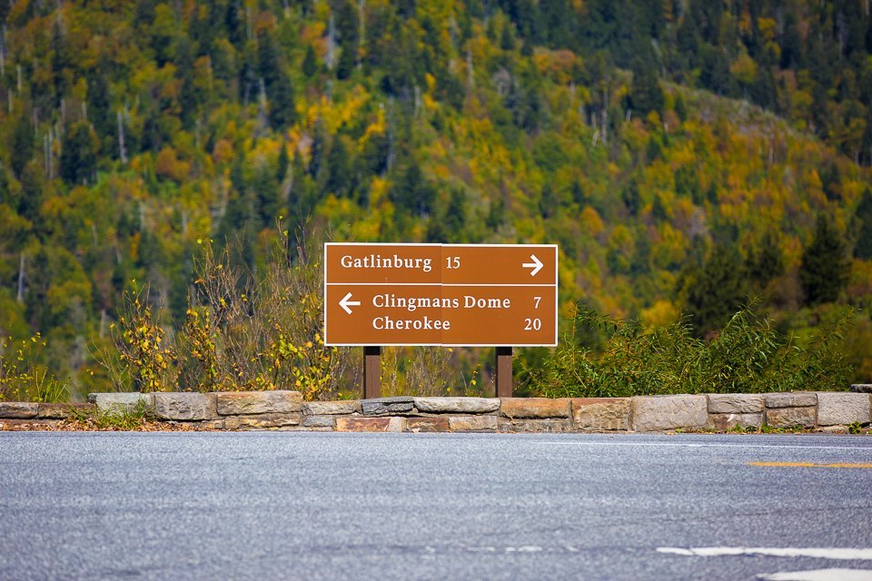
Newfound Gap Road: The Commitment Point
A commitment point is a place where continuing materially reduces your options, which is the idea our Beartooth Highway guide applies to a road with few exits. It’s a Miles & Mapped planning concept, not an industry term. Newfound Gap Road fits it because it’s the main crossing. When it’s closed, the practical connection between the two sides runs outside the park.
The park’s newspaper points visitors to a regional map with alternate routes, and to state road-status sites for the roads around the park: Tennessee’s SmartWay traffic page and North Carolina’s DriveNC. It also says some regional roads have closures or delays from storm damage. This guide gives no closure frequency, duration or detour distance, because they vary and none has been verified for this article. If you want a detour figure for your own trip, get it from a current routing source and treat it as an estimate.
The planning rule is simple. Before you build a day around the crossing, check the park’s current conditions page, confirm the road is open, and know your alternative. Closures aren’t constant, and a closure doesn’t close the park. It changes how you connect its two sides. Our road conditions guide explains how to match the source to the road.
Choose Your Road Trip Shape
Out and Back From One Gateway
Stay on one side and explore the sections near it, then return the way you came. It suits a short trip or a traveler who wants the least logistical complexity, and it doesn’t depend on Newfound Gap Road at all. You lose the crossing, and you gain time in the park.
Cross the Park One Way
A crossing goes from Tennessee to North Carolina or the reverse. It’s a point-to-point trip, so the return has to be planned separately. Return Load, from our one-way vs. loop guide, is the time, mileage, cost and friction of getting back to where you started. A one-way crossing can remove the return drive, but it brings rental drop-off terms, a different overnight on the far side and a plan for the car. Don’t assume a one-way rental is available or economical for your pickup and return. Compare real quotes.
Create a Loop Around the Park
A loop can cross the park one way and return on roads outside it. This guide doesn’t prescribe one. The roads around the park, which the NPS regional map shows, have their own traffic and conditions, and the NPS notes that some have closures or delays. If you want a loop, choose the roads, check each with a current routing source and the state road-status sites, and treat the extra driving as part of the trip. A loop works when the return is useful and not just necessary.
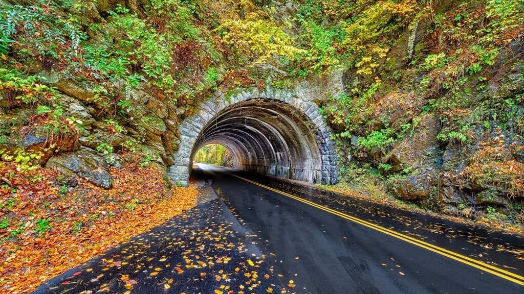
Cades Cove: Plan This Spur Separately
Cades Cove deserves its own plan, not a quick stop. The 11-mile one-way loop road moves slowly, and traffic and visitor activity affect it. Allow plenty of time, and treat it as a separate decision from the Newfound Gap crossing. You can do both, but each needs its own share of the day.
Vehicle-free periods matter. In 2026, the NPS announced that vehicle-free Wednesdays on Cades Cove Loop Road would begin on May 6, with the road open to pedestrians and cyclists instead of cars. It said parking on those days is limited and that there’s no cell service. The schedule changes from year to year, so check the NPS Cades Cove page before you plan around a Wednesday, and plan to drive on another day if you want to take the loop by car.
Other Important Spurs and Destinations
Kuwohi, formerly called Clingmans Dome, is reached by a park road that the NPS lists among those closed for winter. Several other park roads close for winter too. Check the seasonal status of each road you plan to use, and add it only if the time and the road status allow. Each spur adds driving and parking time, and a trip with spurs on opposite sides of the park carries a higher load than one that stays near a gateway.
Smokies Trip Load
Trip Load measures what a driving day demands beyond its mileage. Smokies Trip Load is a Miles & Mapped planning framework, not an NPS rating. It has five elements:
- Slow-road time. Mountain driving is slower than map mileage suggests, and the park newspaper puts the average speed limit on most paved roads at 30 mph.
- Entrance and parking exposure. Queues, parking and the time to reach popular places all take time.
- Closure exposure. Newfound Gap Road, or another section you rely on, may be unavailable.
- Weather and elevation swing. Conditions change between low gateways and high roads.
- Limited services and signal. The NPS says the park has no gas stations, charging stations or restaurants, and that cell service is not always available.
A trip with destinations on both sides of the park has a different load from one that stays near a gateway. There’s no score to calculate. Our service-gap planning guide covers fuel, charging and food planning, and the idea is the same: fuel up and charge outside the park, and download your navigation before you go.
Seasonal Access and Road-Status Checks
Four things can differ: the park being open, a specific road being open, a facility operating and an attraction being accessible. A road can close for winter while the park stays open. Weather can close Newfound Gap Road, the NPS says any park road can close temporarily, and the park lists several roads as seasonal.
By season:
- Winter. Weather can close roads, so check status before every drive. See our winter road trip guide.
- Spring. Conditions swing, and roads and facilities reopen on their own schedules. See our shoulder-season guide.
- Summer. Visitor activity can add queues and parking pressure.
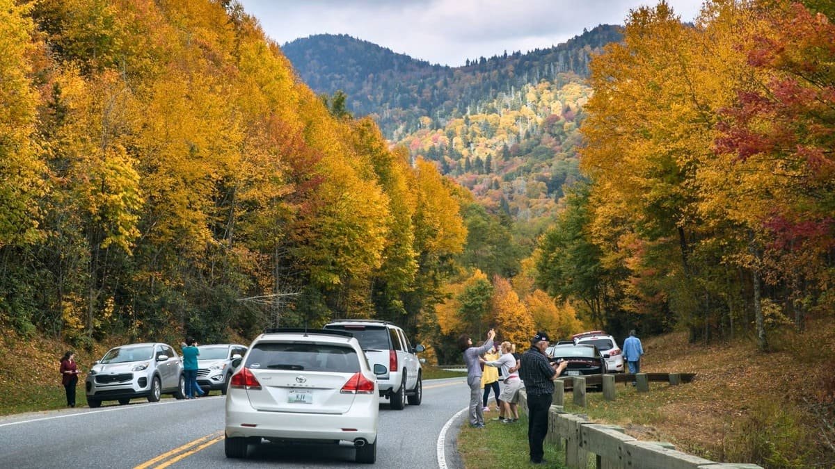
- Fall. Weather changes and crowds can follow the color. See our fall foliage guide.
No season guarantees an open road. The park’s own parking tag and fee requirements are on the NPS fees page, so check the current rules there, since this guide doesn’t restate them.
Connecting the Smokies With the Blue Ridge Parkway
From the North Carolina side, the Smokies connect to the Blue Ridge Parkway, which ends at US-441 through the park near Cherokee. That makes the Smokies a natural start or finish for a longer Appalachian trip. The two are separate roads with separate status, and the NPS tells Parkway travelers to check with Great Smoky Mountains National Park about closures at that end. Plan each on its own, and use our Parkway guide for the road itself.
How Many Days Should You Allow?
Use these as planning ranges, not requirements.
| Road Trip | What It Realistically Covers |
|---|---|
| A short visit | One gateway and one or two nearby destinations |
| Two or three days | Selected destinations on one side, or a crossing with a few stops |
| A longer trip | A crossing, Cades Cove and a spur such as Kuwohi |
| A broader Appalachian trip | The Smokies plus a section of the Blue Ridge Parkway |
One day isn’t enough to explore the whole park. Confirm the driving between your overnights with live routing.
Common Great Smoky Mountains Road Trip Mistakes
- Assuming Newfound Gap Road will always be open.
- Planning a crossing without checking conditions.
- Choosing a gateway before the destinations.
- Underestimating mountain-road time.
- Treating Cades Cove as a quick stop.
- Ignoring vehicle-free days.
- Assuming an open park means every road and facility is open.
- Depending entirely on mobile signal.
- Having no fallback route.
- Trying to cover both sides in too little time.
FAQs
How many days do you need for a Great Smoky Mountains road trip? It depends on whether you cross and which spurs you add. Two or three days covers selected destinations on one side. See the planning ranges above.
Can you drive across Great Smoky Mountains National Park? Yes. The NPS describes Newfound Gap Road (US 441) as the main route connecting Gatlinburg and Cherokee. It’s subject to frequent closure, so check conditions first.
How long does it take to drive Newfound Gap Road? It’s about 33 miles, and speed limits on most paved park roads average 30 mph. Allow more for traffic, stops and weather.
What is the best entrance to Great Smoky Mountains National Park? It depends on where you’re coming from and what you want to see. Townsend is nearest Cades Cove, and Cherokee leads toward the Blue Ridge Parkway.
Can you drive from Gatlinburg to Cherokee through the park? Yes, on Newfound Gap Road, when it’s open. If it’s closed, the connection runs outside the park.
Is Newfound Gap Road open year-round? It can close for weather, and the NPS says it’s subject to frequent closure. Several other park roads close for winter. Check the NPS conditions page.
How much time should you allow for Cades Cove? Plenty. The 11-mile one-way loop moves slowly, so treat it as a separate part of the day. This guide gives no fixed time.
What happens if Newfound Gap Road closes? The park stays open, but crossing it means using roads outside the park. The NPS points to a regional map with alternate routes and to the state road-status sites.
PLAN YOUR TRIP YOUR WAY
Build a day-by-day itinerary around your time, pace, interests, and budget.
Choose your gateway and your crossing, then build the rest around your time and the conditions. Start with the Miles & Mapped trip planner.