
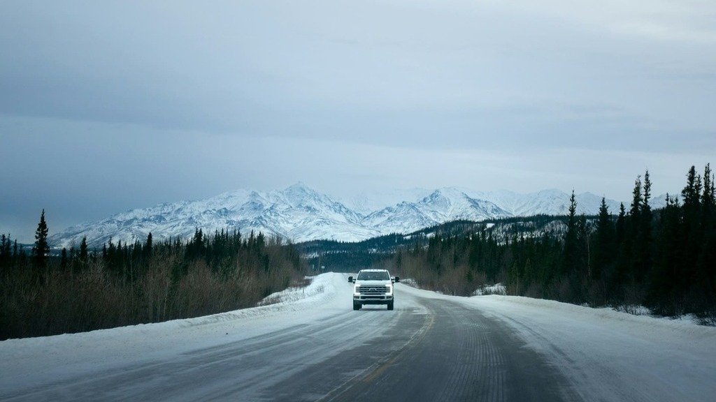
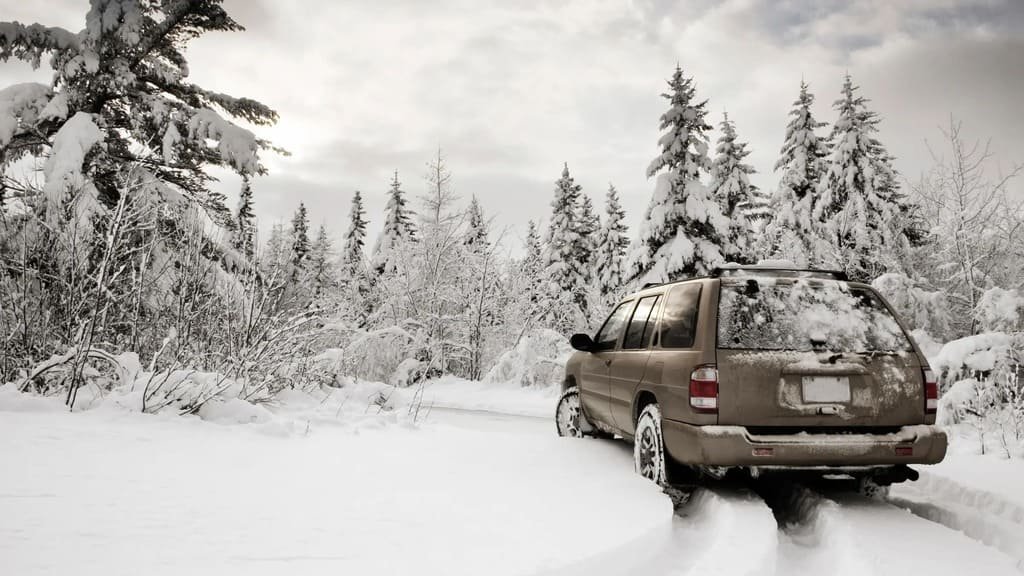
Winter doesn’t simply make road trips harder. It changes which roads you can actually drive, how far you can get, and sometimes whether the route you planned is accessible at all. A spectacular transmountain drive in July can become a short dead-end from each entrance in January, even while the park itself remains open.
Before you commit to a winter road trip, check the specific road’s current operating status, seasonal closure dates, weather forecast, and any required traction or chain restrictions — not just whether the destination or park is open. An open park doesn’t necessarily mean an open road.
Winter Road Trip Planning: At a Glance
| Route | Winter status | Planning implication |
|---|---|---|
| Going-to-the-Sun Road | Seasonal closure, partial winter access | Don’t expect a through-route |
| Trail Ridge Road | Seasonal closure | Plan an alternative route entirely |
| Blue Ridge Parkway | Rolling, weather-dependent section closures | Check status immediately before departure |
| Grand Canyon South Rim | Generally open year-round | Winter conditions still matter |
| Grand Canyon North Rim | Seasonal, status-dependent | Check current conditions before planning around it |
| PCH | Generally accessible | Weather, landslides, and construction can still close sections |
| Oregon Coast | Generally accessible | Storms can affect individual sections |
| Desert routes | Generally accessible | Snow at elevation and storms still matter |
Park Open Doesn’t Mean Road Open
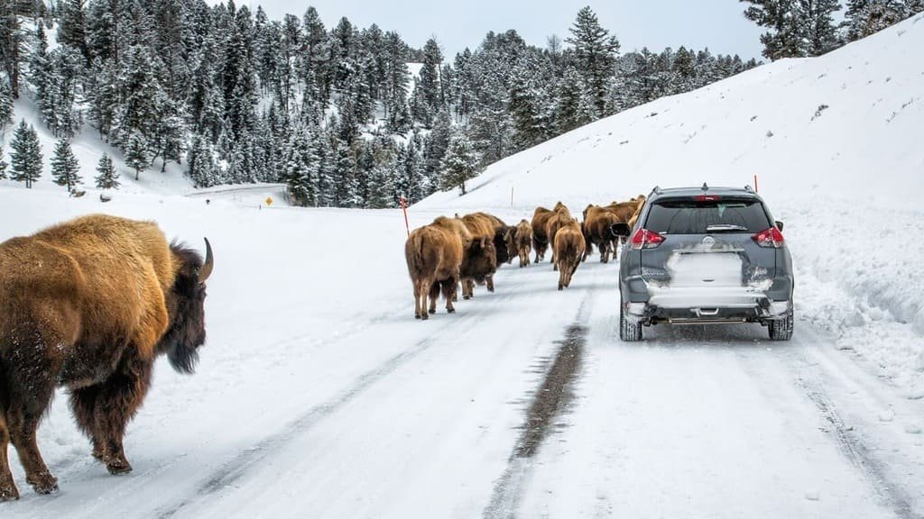
For national parks especially, a park being open doesn’t mean every road inside it is. A park can be open to visitors, open at one entrance, or open for winter recreation, while the specific road you’re picturing is closed. This shows up constantly with Glacier and Going-to-the-Sun Road, Rocky Mountain and Trail Ridge Road, and the Grand Canyon’s North versus South Rim. If you’re searching “is [park] open in winter,” what you usually actually need to know is whether the specific route you’re imagining is drivable — and that’s a different question.
It’s also worth separating three things that get treated as interchangeable but aren’t: whether a road is officially open, whether it’s actually plowed and maintained for normal driving, and whether every pull-off, visitor center, or facility along it is operating on its usual schedule. A road can be technically open to hiker and cyclist traffic while closed to vehicles, or open to vehicles with reduced services at either end. None of that is unusual for a winter park road — it’s the normal way these routes operate for several months of the year, which is exactly why checking the specific status matters more than checking whether the park itself is “open.”
Going-to-the-Sun Road
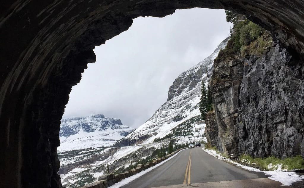
In summer, this is a full transmountain drive across Glacier National Park. In winter, it typically isn’t. The road generally stays fully open until around the third Monday of October, weather permitting, and as it closes, sections remain drivable from each entrance up to a fixed point before the alpine crossing shuts down entirely — usually somewhere around Avalanche Creek on the west side and Rising Sun or Jackson Glacier Overlook on the east, though the exact cutoff shifts year to year with conditions.
A road that closed on a particular date last year isn’t guaranteed to close on that same date this year — weather and snowpack decide the actual schedule each season, not the calendar. Check Glacier’s own road and trail status page directly before planning around it.
Trail Ridge Road
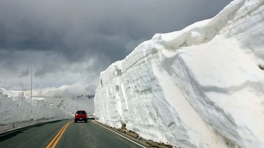
This one’s simpler: it closes for the season. You can’t plan a winter Rocky Mountain National Park trip around driving across the park on Trail Ridge Road. See our complete Trail Ridge Road guide for the normal seasonal access window, and Rocky Mountain National Park’s own current conditions page for the season’s actual opening and closing dates.
Blue Ridge Parkway
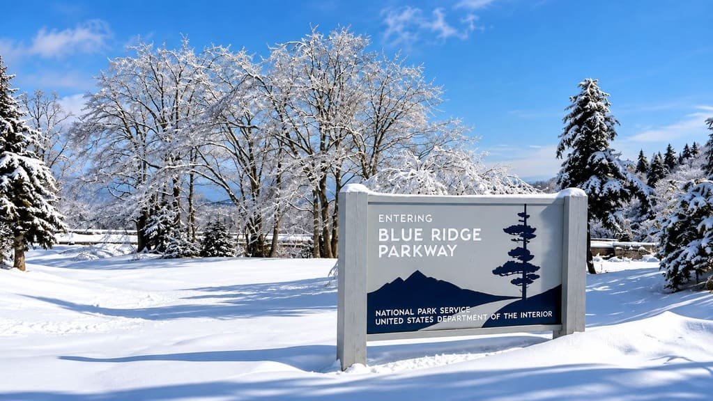
This is the opposite kind of uncertainty. Rather than one predictable seasonal closure, the Parkway has rolling, section-by-section closures that change day to day through the winter, largely because many sections aren’t plowed or treated and simply reopen once conditions naturally clear.
Some stretches are also marked as permanently “ungated,” meaning they have no physical gate to close at all and stay open except in genuine emergencies, while gated sections nearby might close overnight after a single storm. There’s no fixed winter schedule here — check the Parkway’s own road status and closures page immediately before you leave, and again if your route covers a long stretch of it.
Grand Canyon
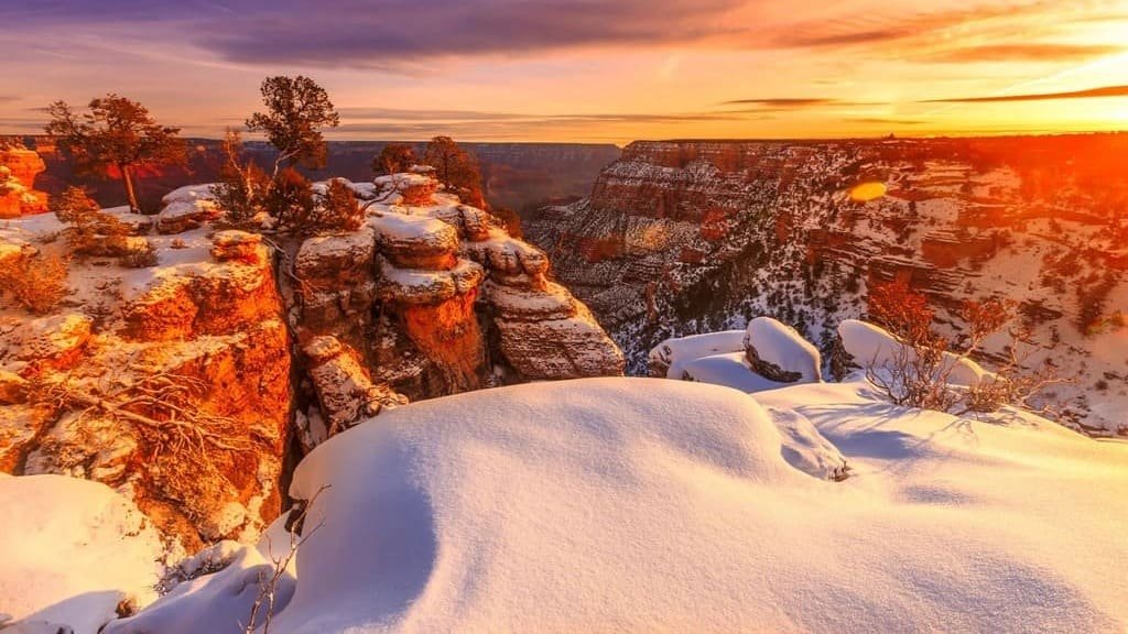
The South Rim is generally open year-round, though winter weather can still affect roads and services there. The North Rim’s access is seasonal and its current operating status should be checked directly before planning around it rather than assumed. See our full Grand Canyon guide for current conditions on both rims, and NPS’s own current park conditions page for the latest.
Coastal Routes: PCH and the Oregon Coast
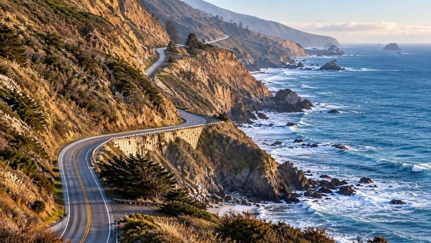
Unlike high-elevation mountain roads, coastal routes generally remain usable through winter, but individual sections can still be affected by storms, landslides, flooding, or construction. Our Oregon Coast guide already covers Highway 101’s structural closure risk in detail — that risk doesn’t go away in winter, and if anything, storm season is when it’s most likely to show up. Check ODOT’s TripCheck for current Oregon conditions and Caltrans QuickMap for California. The same logic applies to PCH: generally accessible, not guaranteed section by section.
Desert Routes
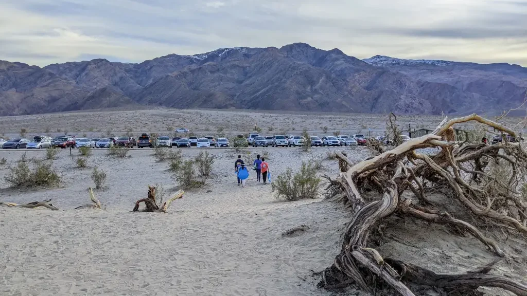
Desert destinations and routes are generally accessible in winter, but “generally accessible” isn’t the same as “open no matter what.” Winter can bring snow at higher elevations along a route, flash flooding after storms, and temporary closures that wouldn’t occur to most people planning a desert trip in January.
Winter Driving Essentials
The internet already has more winter-driving-safety content than anyone needs, so this is deliberately short. Check road conditions before you leave. Check weather along your entire route, not just at the destination. Know whether chains or traction devices are required anywhere on your route.
Keep extra following distance and reduce speed for conditions rather than the posted limit. Carry appropriate emergency supplies. Keep a larger fuel or charge reserve than usual on any stretch with sparse services. And don’t keep driving toward a closure just because the destination itself is technically open.
Winter-Specific Additions to Your Kit
Beyond your normal road trip gear, add warm layers or a blanket, gloves, a flashlight or headlamp, extra water and food, a power bank, a scraper and brush, appropriate traction equipment where required, first-aid supplies, and offline maps. See our full road trip packing list for the complete year-round checklist.
Choosing a Winter-Friendly Route
If you want predictable access, look for routes that stay at lower elevations, pass through multiple communities rather than long empty stretches, have alternative highways as backup, offer regular fuel or charging stops, and don’t depend on a single mountain pass to complete the trip. Coastal routes like PCH and the Oregon Coast, lower-elevation Southwest routes, and routes connecting major cities tend to fit this description better than anything crossing a high mountain pass, which should be treated as conditional rather than guaranteed in winter regardless of what the calendar says.
Checking a Winter-Friendly Route Before You Leave
The night before, check the official road-status page for your route, the relevant state DOT or highway conditions page, any national park alerts along the way, the weather forecast for the whole route rather than just the destination, chain or traction requirements, construction or closure information, and lodging or service availability. Do the same check again the morning of, and for a highly variable route like the Blue Ridge Parkway, check once more immediately before entering the affected section.
For official status, lean on the National Park Service for park roads (each park’s own site, not a search result about it), state DOTs like ODOT’s TripCheck or Caltrans QuickMap for highways, and the National Weather Service for conditions along the route — travel blogs are fine for context, but the actual open-or-closed answer should come from whoever’s responsible for the road.
Winter Trip Load
The same 250-mile itinerary can carry a much higher Trip Load in winter than in summer. In good summer conditions, 300 miles with eight hours of daylight and every service open is a straightforward day. The same 300 miles in winter, with the possibility of snow, several fewer hours of daylight, slower necessary speeds, and a real chance of hitting a closure, is a completely different day, even though the mileage on paper hasn’t changed at all.
If Your Route Turns Out to Be Closed
Even with a check the night before and again the morning of, conditions can change while you’re already on the road. Have a real plan B rather than deciding in the moment: know the nearest town with lodging and fuel if you need to stop early, know an alternate route even if it’s slower or less scenic, and don’t treat a closure as a problem to push through rather than a normal part of winter travel.
If a section reopens later than expected, it’s usually better to adjust the day around that than to wait it out at a closed gate hoping it changes soon. Building this kind of flexibility into the trip from the start — an extra day, a backup overnight stop, a route that doesn’t depend on one single pass — turns an unexpected closure from a ruined trip into a minor detour.
Common Mistakes
- Assuming a national park being open means its scenic road is open too.
- Treating “open” and “fully open” as the same thing.
- Planning a winter trip from a summer itinerary without checking what actually changes.
- Assuming a published closure date from a previous year is guaranteed to repeat.
- Ignoring day-to-day closures on a route like the Blue Ridge Parkway.
- Forgetting how much shorter winter daylight actually is.
- Using summer drive-time estimates for a winter trip.
- Ignoring chain or traction device requirements until you’re already on the road.
- Assuming services will operate on their normal schedule.
- Not checking the return route, which can change conditions hours after you checked it on the way out.
FAQs
Is Going-to-the-Sun Road open in winter? Not fully. It typically closes around the third Monday of October, weather permitting, with partial access from each entrance before the alpine section shuts down for the season. Check current status before planning a trip around it.
Is Trail Ridge Road open in winter? No, it closes for the season. See our Trail Ridge Road guide for its normal access window.
Is the Blue Ridge Parkway open in winter? Partially, and unpredictably — sections close and reopen through the winter based on weather rather than a fixed schedule, so check current status right before you go.
Which national parks are open in winter? Most national parks remain open year-round, but that doesn’t guarantee every road inside them is accessible — check the specific route you’re planning, not just the park’s overall status.
Are winter road trips safe? Yes, on a route you’ve actually checked and prepared for — confirm the road is open for the specific section you’re driving, watch the weather along the whole route rather than just the destination, and carry basic winter emergency supplies.
What should I check before a winter road trip? The official road-status page for your route, the weather forecast along the whole trip, chain or traction requirements, and service availability, ideally the night before and again the morning of.
What are the best winter road trips in the US? Coastal routes like PCH and the Oregon Coast, and lower-elevation routes connecting cities, generally offer the most reliable winter access. A route that crosses a high mountain pass should be treated as conditional on current conditions rather than assumed to belong on a fixed “best winter road trips” list.
PLAN YOUR TRIP YOUR WAY
Build a day-by-day itinerary around your time, pace, interests, and budget.
Use our planner to build a winter road trip around current conditions, your available days, and the kind of access you actually need.
2 thoughts on “Winter Road Trip Planning: Which Routes Are Actually Open”