A road can be easy to navigate and still hard to finish. The route is on the map, but the fuel, chargers, food or lodging you need along it may be far apart, seasonal, closed by the time you arrive or incompatible with your vehicle. Most advice answers that with a number: stop every so many miles. The number fails because it ignores your vehicle, the road and what happens if a stop doesn’t work out.
This guide uses a different unit, the service gap. A service gap is the distance and time between dependable services a traveler may need along a particular route. It’s a Miles & Mapped planning framework, not an industry term. The method below shows how to find the gaps on a route you’ve never driven, compare each one with your own usable range, and make the decision before you enter it, while you still have options.
Road-Trip Service Gaps at a Glance
| Service | How the Gap Can Create a Problem | What to Verify |
|---|---|---|
| Gasoline or diesel | The next listed station may be distant or closed | Operating hours, fuel availability and alternatives |
| EV charging | The next charger may be incompatible, unavailable or out of service | Connector compatibility, access, operating status and a fallback |
| Food | Restaurants and stores may close before you arrive | Opening hours and nearby alternatives |
| Water | Supplies may not be available on a remote section | Where to get supplies before you enter |
| Lodging or camping | Seasonal operation or limited availability can break an overnight plan | Operating season, booking status and alternative lodging |
This is an overview, not a directory of every service you might need.
Why Fixed Refueling Intervals Can Mislead
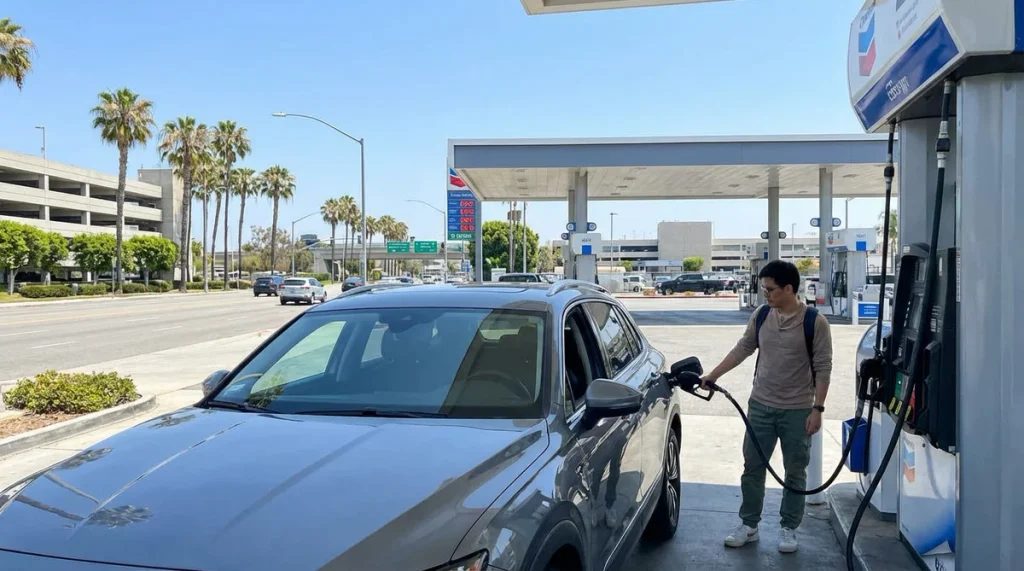
Advice such as “stop every 200 miles” can’t account for how different trips are. Usable range differs by vehicle, and it changes with terrain, speed, weather and load. EPA’s fuel economy guidance says your fuel economy will vary, sometimes significantly, with driving conditions and driving style, and the label itself carries a reminder that actual mileage will vary. A figure that suits one vehicle on flat highway may not suit a loaded vehicle in the mountains.
Services have limits too. Stations close, seasonal facilities open and shut on a schedule, and a detour can add miles you hadn’t counted. The consequence of a failed stop also differs. Missing a gas station on a busy highway costs a few minutes. Missing one on a long stretch with no alternatives costs a great deal more.
Replacing one fixed interval with another doesn’t solve this. The better question is what your own gap looks like on this route, and that’s what the method answers.
The Five-Step Service Gap Method
The five steps work together. Each one narrows what you need to check in the next.
Step 1: List the Services You Need
Start with the trip, not the map. Decide which services matter: gasoline or diesel, EV charging, food, drinking water, lodging or camping, and anything your vehicle or itinerary adds. A short drive may need only fuel. A multi-day trip through sparse country may need all five.
Listing first keeps you from checking services you won’t use and missing ones you will. It also shapes the later steps, because a vehicle that needs charging has a different gap from one that needs fuel.
Step 2: Find the Gaps Along the Route
Use route maps, official road information, station locators and operator websites to find where services thin out. A map listing isn’t proof of a working service. Four things can differ:
- a location appearing in a database
- the service being operational
- the service being open when you arrive
- the service being compatible with your vehicle or needs
The U.S. Department of Energy’s Alternative Fueling Station Locator is a useful starting point for charging and other alternative-fuel stations. It lets you search by location and map a route. A listing is still a lead, not a guarantee that a charger is working, accessible or compatible when you get there.
Step 3: Compare the Gap With Your Own Usable Range
Vehicle range isn’t one number. For a conventional vehicle, it depends on fuel capacity, realistic fuel economy, terrain, speed, weather and load, including towing. For an EV, it also depends on temperature, elevation, wind, climate control and the charging you can actually use. For an RV or a towing setup, the real configuration and the route’s restrictions matter.
This guide gives no universal reserve, percentage or number of miles, because none fits every vehicle and route. Here is an illustration, not a rule. Suppose your vehicle realistically covers about 250 miles on a full tank on this route, and the next dependable station after the last one is 130 miles ahead. The gap fits your range with room to spare. But a closure that adds a 60-mile detour, or a headwind and a steep climb, would use most of that margin. The point is to run your own numbers, with your own assumptions, for each gap.
Step 4: Plan Before the Gap, Not Inside It
Act while alternatives still exist. Depending on the trip, that might mean refueling or charging before a long sparse section, buying food or water before the shops close, confirming a campground or lodge reservation, or checking the status of the next service and a backup.
This isn’t a reason to fear low-service roads. Most of them are fine for a prepared traveler. It’s a reason to do the checking at the last easy place, not after the gap has started.
Step 5: Treat the Entrance as a Commitment Point
A commitment point is a place where continuing materially reduces your options for getting a service or changing the route. It might be a junction, the last dependable service, a scenic-road entrance or another point where turning back or diverting gets harder. Not every road has one obvious or marked commitment point, and it isn’t a standardized transportation term. It’s part of the Miles & Mapped planning approach, which our Beartooth Highway guide applies to a road with few exits.
For service gaps, the rule is to decide whether to continue while there are still practical alternatives, and not after you’re inside the gap. Recheck the next critical service at that point.
How the Gap Changes by Vehicle
The framework is shared, and the range and compatibility checks differ.
Gasoline and Diesel Vehicles
Use realistic fuel economy for the route, not the label number, and account for terrain, speed and conditions. EPA’s ratings are useful background, but they don’t predict a particular vehicle’s range on a particular road. Confirm the next dependable station and its hours before you rely on it.
EVs and Charging Gaps
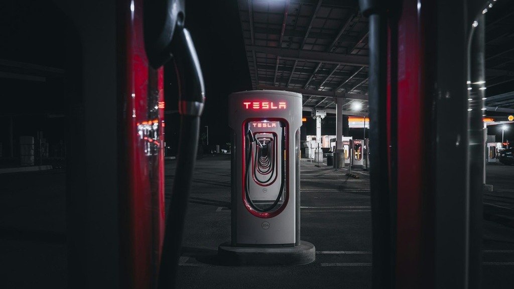
An EV charging gap is more than the distance to the next charger. You need to consider usable range, whether the connector fits, whether the charger is available and working, and whether a second option exists. Our EV road trip guide covers charging networks and route planning in depth.
RVs and Towing
Towing, vehicle dimensions and route restrictions change both range and which roads you can use. Our RV road trip guide covers those limits.
Services Have Seasons and Hours
A service can appear on a map and still be unavailable during your visit. Three National Park Service roads show the range.
The Blue Ridge Parkway has no gas stations on the road itself, according to the NPS, although some are just off it at access points. The NPS also says most Parkway facilities are open from Memorial Day until late October. Our Blue Ridge Parkway guide covers the access-point approach, so fuel is part of planning each section.
Yellowstone has gas stations at Canyon Village, Fishing Bridge, Grant Village, Mammoth Hot Springs, Old Faithful and Tower Junction, and the NPS says all of them offer 24-hour, year-round credit card fueling. The NPS also says cellular service is extremely limited and EV charging inside the park is extremely limited. Other services have their own seasons. At Old Faithful, for example, the NPS lists the store and towing as typically open daily from May through mid-October, even though the pumps run all year. Check the park’s operating dates page, and our Yellowstone guide covers the park’s road system.
Skyline Drive shows how little a road can have. The NPS says there is only one gas station within Shenandoah National Park and to plan accordingly, and it publishes opening and closing dates for each facility. Its winter bulletin has warned that power for the charging station at Byrd Visitor Center can be unreliable in winter, that the chargers at Skyland are inaccessible then, and that fuel at Big Meadows may not be available. Our Skyline Drive guide covers the entrances and the season.
Don’t generalize from one park to another. Each one has its own stations, hours and seasons, so check the park’s own page for the dates of your trip.
How Service Gaps Behave on Different Route Types
Each type of road asks for a different check. This guide gives no average distances between stations, because none holds across routes.
- Scenic parkways and mountain roads. Look for whether fuel is on the road or only at access points, and for seasonal facilities.
- Remote desert or rural highways. Look for the stretch between the last town and the next, and for hours at small stations.
- Long-distance interstates. Services are usually frequent, so the check is mostly for the occasional stretch where they aren’t, and for compatibility if you drive an EV.
- Routes with seasonal facilities. Look for operating dates that match your travel dates, and for what’s open the day you arrive.
- Routes where a detour changes everything. A closure can turn a short hop between services into a long one, so check the alternate route’s services too. Our Arizona road trip guide shows how season and region change what a route requires.
What If the Next Service Is Unavailable?
Stay calm and work through it in order:
- Confirm that the service is actually unavailable.
- Check an official source, or contact the operator when you can.
- Reassess your remaining range and the route.
- Identify a verified alternative while the vehicle still has adequate usable range.
- Don’t commit to a longer gap without a workable plan.
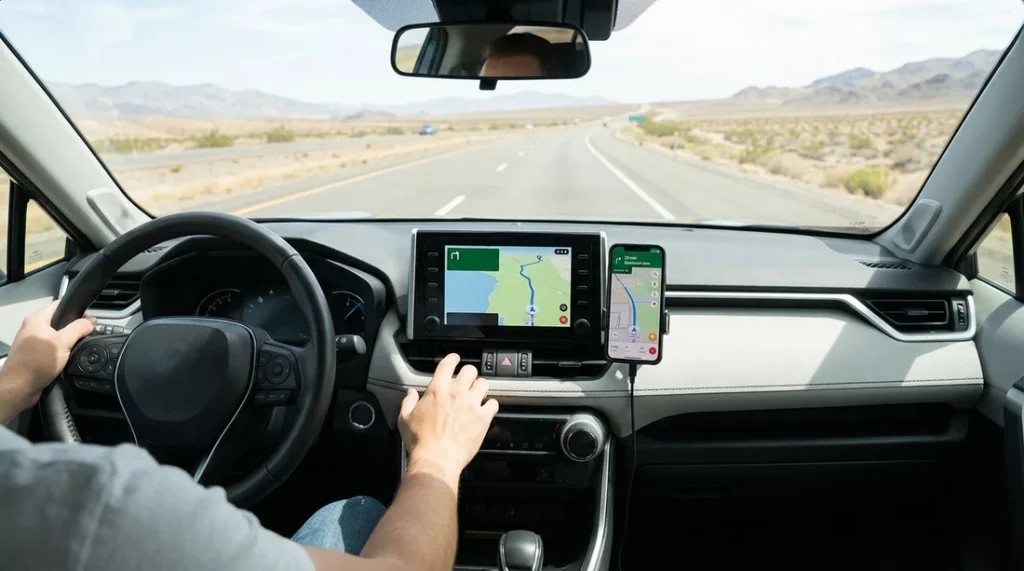
A navigation instruction or an app listing doesn’t override a road closure, a service’s real status or your vehicle’s limits. Don’t go beyond your vehicle’s realistic range because a map shows a destination ahead.
Use Apps Without Trusting Them Blindly
Each tool has a job. Navigation apps are good at route discovery and routing. Official road authorities are the source for road status. Station locators help you find potential services. Service operators are the source for current hours and availability. None of them replaces the others.
Verify the next critical service, and identify an alternative wherever a failure would matter. Our road conditions guide explains how to match the source to the road.
Road Trip Service Gap Checklist
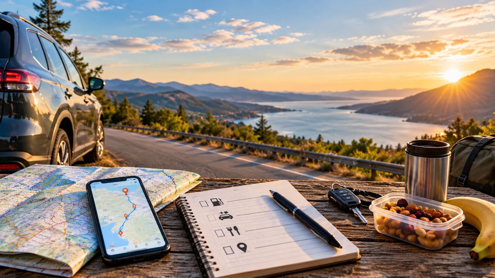
- ☐ Identify the services your route requires.
- ☐ Locate the sections where those services thin out.
- ☐ Check the next dependable fuel or charging option.
- ☐ Compare each gap with your vehicle’s realistic usable range.
- ☐ Confirm opening hours and seasonal operation.
- ☐ Check road status and detours.
- ☐ Identify a fallback before the commitment point.
- ☐ Recheck critical services before you enter a long gap.
Common Mistakes When Planning Service Gaps
- Relying on a fixed refueling interval.
- Treating a map listing as proof that a service works.
- Ignoring operating hours and seasonal closures.
- Using a vehicle’s advertised range as a guaranteed real-world range.
- Forgetting that towing or route conditions can change usable range.
- Waiting until you’re inside a gap to look for alternatives.
- Planning a route without checking whether a detour changes the service gap.
FAQs
How should I plan gas stops on a road trip? Find the gaps between dependable services on your route, compare each one with your vehicle’s realistic range, and refuel before any gap that your range doesn’t comfortably cover.
How far can I drive between gas stations? It depends on the route, the services available and your vehicle’s usable range. There’s no single answer, so assess the specific gap.
How do I plan fuel stops in remote areas? Use the five steps: list what you need, find the gaps, compare them with your range, act before the gap and treat the entrance as a commitment point. Confirm hours for the next station.
How should EV drivers plan charging gaps? Consider usable range, connector compatibility, availability and a second option, not only the distance to the next charger. Our EV guide goes deeper.
How can I check whether a gas station or charger is open? Check the operator’s site or contact the operator when you can, and check the park’s operating page for park facilities. A station locator listing doesn’t confirm that a charger is working.
What should I do if the next planned service is unavailable? Confirm it, check an official source, reassess your range and choose a verified alternative while you still have usable range.
PLAN YOUR TRIP YOUR WAY
Build a day-by-day itinerary around your time, pace, interests, and budget.
A good plan accounts for the route, the destinations and the services that make the route practical. Start with the Miles & Mapped trip planner.