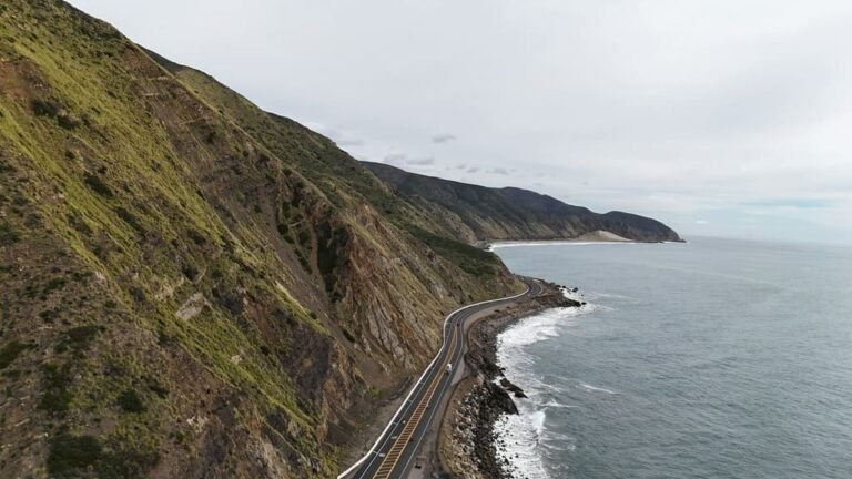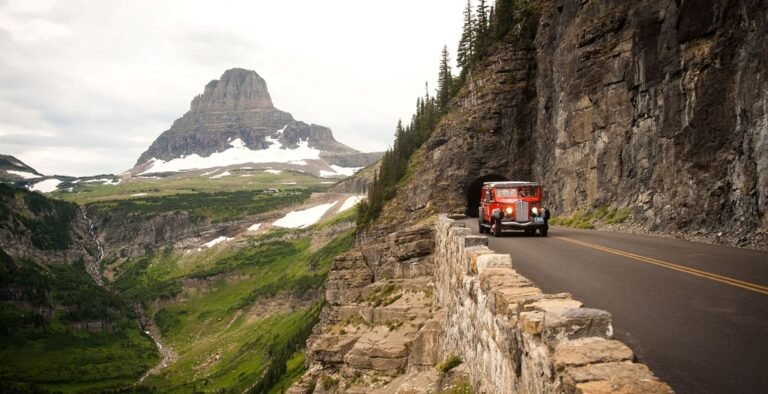
Skyline Drive is 105 miles long, and published guides give wildly different answers to how long it takes: about three hours in one place, most of a day in another, two or three days in a third. The reason is that they’re answering different questions. The road is the same. What changes is where you enter, how much of it you drive, how you get back and how many times you stop.
This guide plans a Skyline Drive road trip in that order. Skyline Drive is the only public road through Shenandoah National Park, and the National Park Service says you can enter with a vehicle at only four places. That makes the entrance the first decision, the trip shape the second, and the overlooks a distant third. It introduces Skyline Drive Trip Load, a Miles & Mapped planning framework, and shows three ways to shape the trip, including a loop that returns you to where you started without retracing the road.
Skyline Drive Road Trip at a Glance
| Planning Factor | What to Know |
|---|---|
| Length | About 105 miles, from Front Royal in the north to Rockfish Gap in the south |
| Entrances | Four. You can enter with a vehicle at only four places (NPS) |
| Mileposts | Mile 0 at Front Royal to mile 105 at the southern end. They’re posted on the west side of the road |
| Speed | 35 mph in most places (NPS) |
| Tunnel | Marys Rock Tunnel, at about mile 32, has a maximum clearance of 12 feet 8 inches (NPS) |
| Season | Weather can close the Drive, and facilities have their own operating seasons |
| Trip shape | End to end, out and back, or a loop using roads outside the park |
Why Published Drive Times Differ
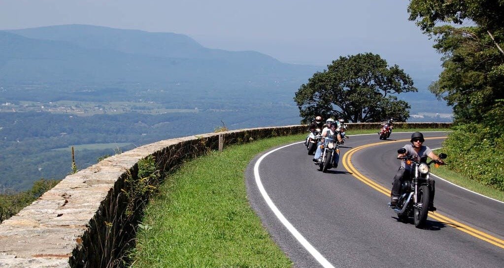
The figure most guides repeat, about three hours, is a baseline for driving the whole road on a clear day without stopping. It’s a floor. Overlooks, wildlife, weather, fuel or charging, a meal and a line at an entrance station all add to it, and a sightseeing day can run most of a day.
Other published times, from a few hours to several days, come from people who stopped for different reasons. None of them is wrong. They describe different trips. The useful move is to decide which trip you’re taking and estimate from there, and our guide to how many miles to drive in a day explains the principle: miles aren’t hours.
The Four Entrance Stations and Their Mileposts
| Entrance | Milepost | Reached By | Section It Opens |
|---|---|---|---|
| Front Royal | 0 | US-340, near I-66 | The north end, heading south |
| Thornton Gap | 31.5 | US-211, near Luray | The middle of the northern section |
| Swift Run Gap | 65.5 | US-33, near Elkton | The middle of the Drive |
| Rockfish Gap | 104.6 | I-64 and US-250, near Waynesboro | The south end, heading north |
Rockfish Gap is also the northern entrance to the Blue Ridge Parkway. Sources give slightly different mileposts for some entrances, such as 104.6 and 104.9 for Rockfish Gap, so treat the figures as approximate and rely on the posted mileposts and the NPS map.
The distances between entrances matter more than the figures themselves. Using the NPS mileposts, the stretch from Front Royal to Thornton Gap is about 31 miles, from Thornton Gap to Swift Run Gap about 34 miles, and from Swift Run Gap to Rockfish Gap about 39 miles. Those three sections are the building blocks of every trip below.
Choosing an entrance isn’t the same as choosing an airport. The NPS directions page lists Washington Dulles, Reagan National and Shenandoah Valley Regional airports in relation to the entrances, and they’re separate decisions: the airport sets where the trip starts and ends, and the entrance sets which section you reach first. Compare combinations by trip shape and the driving between them, and confirm rental terms if you plan to leave the car somewhere other than where you picked it up.
If no staff are at an entrance station when you arrive, the NPS says you can proceed and pay when you exit. Check the park’s current fee information before you go, because published fee figures disagree.
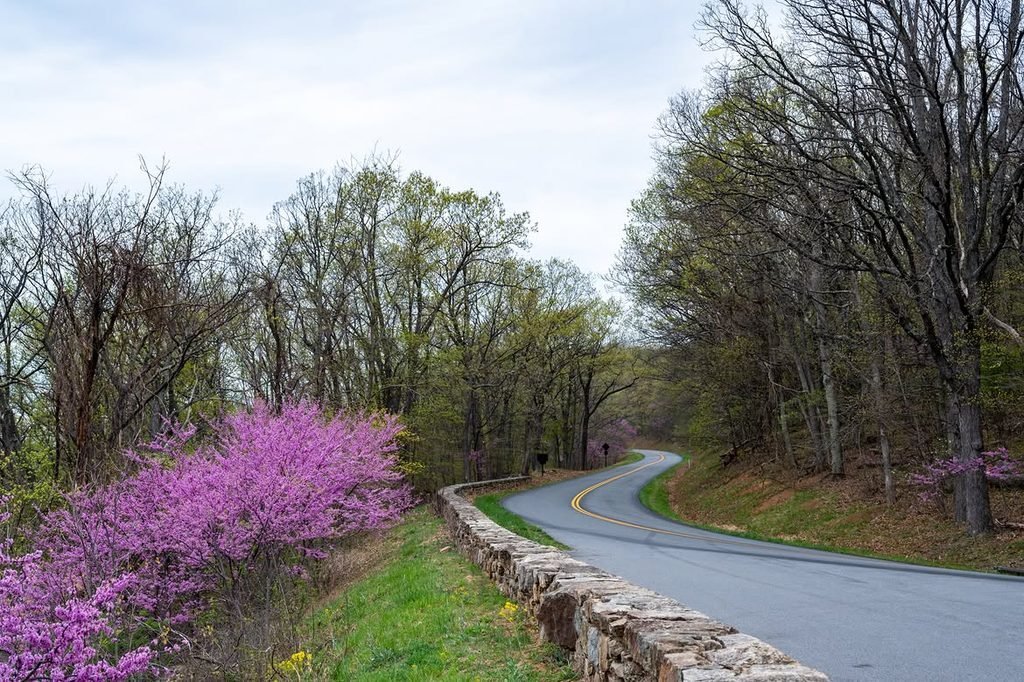
Choose Your Trip Shape: End to End, Out and Back, or Loop
Shape 1: End to End
Enter at one end and drive to the other, either south from Front Royal or north from Rockfish Gap. This is the full drive.
It suits travelers who want the whole road and can arrange transport or continue to another destination at the far end. It’s also where Return Load, the framework from our one-way vs. loop guide, applies most directly. An end-to-end drive doesn’t mean more total driving than an out-and-back. It means you’ve left your car 105 miles from where it started, so you solve the return separately, by continuing, by using a rental that allows a one-way, or by driving back by another road.
Shape 2: Out and Back
Enter at one station, explore a section, and return to the same entrance. It suits day trips, shorter visits and travelers who want to sleep in the same place each night.
The three sections make natural out-and-backs: the north section, the middle and the south. Each one is a few hours of slow driving before stops and returns you to your car without a second plan.
Shape 3: Loop Using Roads Outside the Park
Drive part of Skyline Drive in one direction, leave through a different entrance, and return toward your start on roads outside the park. It suits travelers who want a varied circuit and don’t want to repeat the same section.
A loop costs a different kind of time from an end-to-end drive. You don’t solve a separate return, but you spend part of the day on valley roads with their own traffic, stops and speed, so the loop is slower than its length on Skyline Drive alone suggests. These are illustrative loops, not the one correct route, and you should check each road and its timing on live routing before you commit:
- A northern loop. Enter at Front Royal, drive south to Thornton Gap, leave on US-211 west toward Luray, and return north to Front Royal on US-340.
- A central loop. Enter at Thornton Gap, drive south to Swift Run Gap, leave on US-33 west toward Elkton, and return north on US-340 to Luray, then east on US-211 to Thornton Gap.
Both use the entrance roads the NPS lists, and the connections between US-340, US-33 and US-211 follow the road network. Each loop leaves the Drive at a different entrance from the one where it began, which is what removes the need to retrace a section. A loop that works from Front Royal may not suit someone entering at Rockfish Gap, so pick one that starts where your lodging is.
How to Choose Between the Three Shapes
Three questions settle most of it. Where does the trip need to end? If it ends where it began, an out-and-back or a loop fits, and if it ends somewhere else, an end-to-end drive does. How much of the day do you want on Skyline Drive itself? A full day of overlooks points to one section, not the whole road. And is the return drive useful or just necessary? If the way back repeats the way out, a loop earns its extra roads. If the way back is the same set of overlooks in reverse, it doesn’t.
How Long Does Skyline Drive Take?
Use planning ranges, not a single number. They aren’t official estimates.
| Trip | What It Realistically Involves |
|---|---|
| One section, out and back | A few hours of driving, with a handful of stops |
| End to end, driving mostly without stops | About three hours on a clear day |
| End to end, with overlooks, a meal and a short walk | Most of a day |
| Two or more sections over a couple of days | Time for hikes, wildlife and an overnight |
A busy day, a fall weekend or fog can move any of these. Confirm the driving between your overnights with live routing.
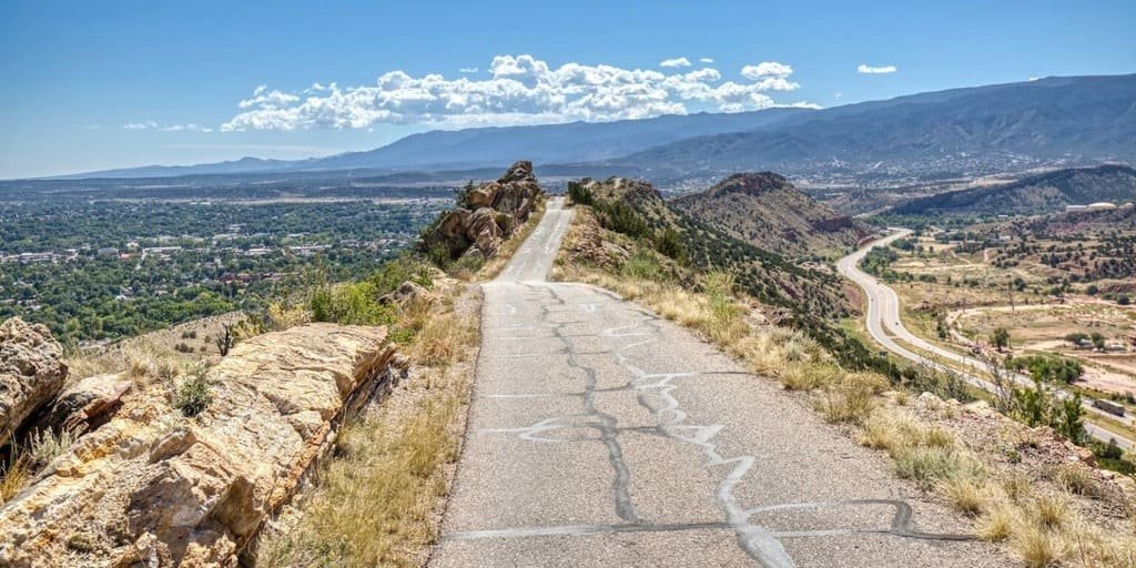
Skyline Drive Trip Load
Skyline Drive Trip Load is a Miles & Mapped planning framework, not an NPS rating. It describes how much time and attention the Drive consumes beyond its mileage. It has five layers:
- Slow-road pace. The speed limit is 35 mph in most places, and the road curves along the ridge.
- Entrance and queue exposure. You enter at only four places, and busy periods can mean a wait.
- Services and facility seasons. Facilities have their own operating dates.
- Closure exposure. Weather can close the Drive.
- Wildlife. The NPS notes that deer, bears and other animals regularly cross the road.
There’s no score to calculate. Ask the five questions before you commit a day. A day that starts with a line at an entrance station, includes the full middle section and ends with a meal at a facility that may be closed can carry a high Skyline Drive Trip Load even though the mileage looks small.
Seasonal Access, Winter Closures and Facilities
Two separate questions apply, and they have different answers. Can you drive the road? Inclement weather, including winter conditions, can close Skyline Drive, so check the current road status and alerts on the NPS Skyline Drive page. And will the services you need be open? Fuel, food, lodging, campgrounds and visitor centers have their own operating seasons, so a road that’s open doesn’t guarantee a meal or a bed.
Our road conditions guide explains how to match the source to the road, and our winter road trip guide covers the park-open-but-road-closed problem. Fall color weekends can be busy, which affects entrance lines, overlooks and pace. Our fall foliage guide covers timing.
Vehicle Limits and Marys Rock Tunnel
Marys Rock Tunnel, at about mile 32 just south of the Thornton Gap entrance, has a maximum clearance of 12 feet 8 inches. That’s a concrete decision point for RVs, campers, trailers and anything with a roof-mounted load. Check the real height of your vehicle and anything on top of it before you choose an end-to-end route.
You can avoid the tunnel. It sits just south of Thornton Gap, so a trip that stays north of that entrance, or that starts at Swift Run Gap or Rockfish Gap, doesn’t pass through it. Our RV road trip guide covers route compatibility in more detail.
Fuel and charging are separate questions. The NPS has a page on gas and electric vehicle charging, so check it, and our EV road trip guide explains how to plan charging as part of the route.
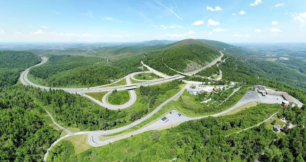
Connecting Skyline Drive With the Blue Ridge Parkway
Skyline Drive meets the Blue Ridge Parkway at Rockfish Gap, so the two roads make a natural longer scenic route for travelers heading south. They’re separate roads in separate park units, with separate road status and facilities. Don’t treat them as one continuous drive, and check each one’s current status on its own before you build a day around both. Our Blue Ridge Parkway guide covers the Parkway.
Common Mistakes
- Choosing the overlooks before the entrance.
- Planning the drive as one three-hour trip and adding no time for stops.
- Driving end to end without a plan for getting back.
- Forgetting that you can enter with a vehicle at only four places.
- Not checking Marys Rock Tunnel clearance for a tall vehicle.
- Assuming the road and the park’s services are open at the same time.
- Treating a fall weekend like an ordinary day.
- Treating Skyline Drive and the Blue Ridge Parkway as one road.
FAQs
How long is Skyline Drive? It’s about 105 miles, from Front Royal in the north to Rockfish Gap in the south.
How long does it take to drive Skyline Drive? About three hours straight through on a clear day, which is a baseline. With stops, it can take most of a day. Plan by section.
How many entrances does Skyline Drive have? Four: Front Royal, Thornton Gap, Swift Run Gap and Rockfish Gap. The NPS says you can enter with a vehicle at only four places.
Which entrance should you use? Use the one that fits where you’re coming from and which section you want first.
Is Skyline Drive open year-round? Weather can close it, especially in winter, and facilities have their own seasons. Check the NPS road status before you go.
Can an RV drive Skyline Drive? Check Marys Rock Tunnel’s 12 feet 8 inches of clearance first. You can avoid the tunnel by staying north of Thornton Gap or entering at Swift Run Gap or Rockfish Gap.
Do you have to drive all of Skyline Drive? No. Most trips use one or two of the three sections, entering and leaving through the entrance stations. Choose the sections that fit your time and your overnight.
Can you drive Skyline Drive in one day? Yes. The full length is a baseline of about three hours without stops, so a day leaves room for several overlooks, a meal and a short walk. A fall weekend or fog can make it longer.
What if no one is at the entrance station? The NPS says you can proceed into the park and pay when you exit.
How do you get back after driving Skyline Drive end to end? Continue to another destination, arrange a one-way rental, or return by a road outside the park. Our one-way vs. loop guide explains how to compare them.
PLAN YOUR TRIP YOUR WAY
Build a day-by-day itinerary around your time, pace, interests, and budget.
Pick the entrance and the trip shape first, then choose the stops. Start with the Miles & Mapped trip planner.