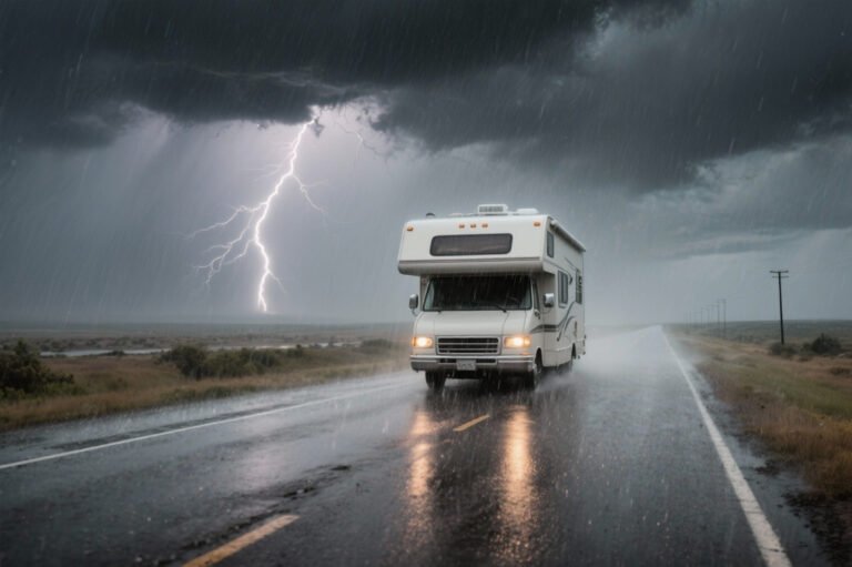
A shoulder season road trip comes with a particular risk. The road is on the map and the destination is in the guidebook, but parts of the route, the facilities or the services may not be available on the days you travel. In spring, roads and services are coming back. In fall, they’re closing. Either way, a destination can be open while the thing you drove there for isn’t.
The way to plan for that is to stop treating the season as a date. Shoulder season is a window of partial access, and the plan has to come from what you can confirm: which road sections are open, which services are operating and what the weather is doing. This guide shows how to build a spring or fall road trip around that, using the idea of planning the window, not the date.
Shoulder Season Road Trips at a Glance
| What Changes | Why It Matters | What to Check |
|---|---|---|
| Road access | Different segments can open at different times | Current road status and segment-level access |
| Park facilities | Visitor centers, campgrounds and other facilities can follow different schedules | Official operating dates and notices |
| Lodging and food | Seasonal services may not be available when you expect | Current operator information and alternatives |
| Weather | Conditions can change within the road trip window | Forecasts, warnings and route-specific conditions |
| Daylight | Shorter days limit how much of the plan is practical | Sunrise, sunset and a realistic driving day |
| Itinerary flexibility | A closed segment can invalidate a planned route | Alternative routes and optional stops |
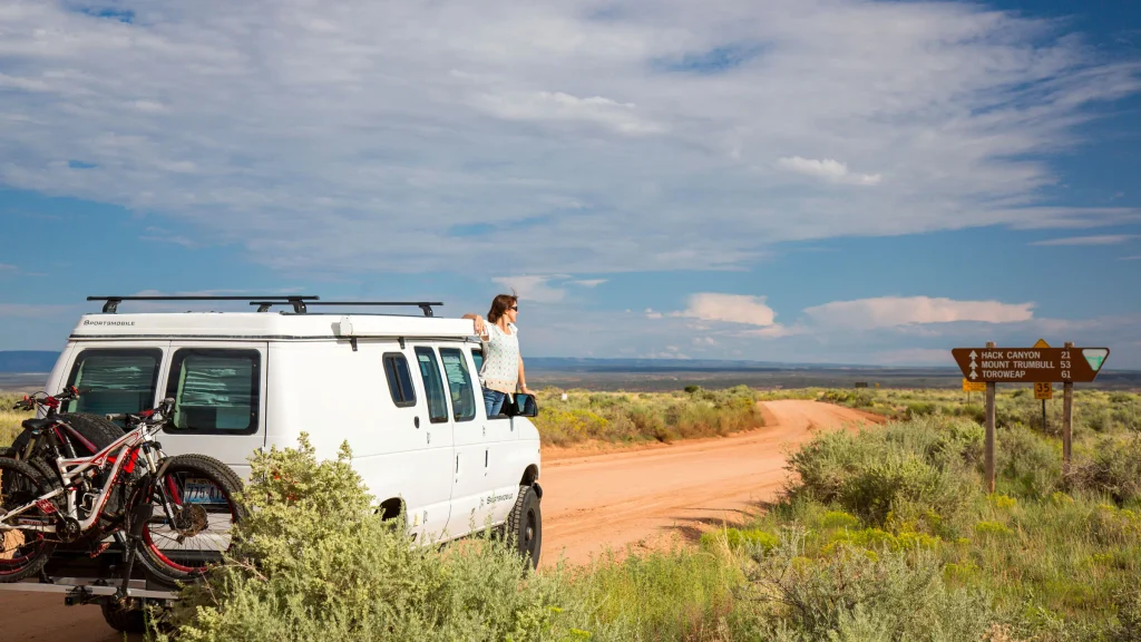
Why Shoulder Season Is a Window, Not a Date
A typical opening date is a pattern, not a promise. Rocky Mountain National Park’s own news releases show the difference. The park’s releases say Trail Ridge Road normally opens in the last week of May, weather permitting. In 2011 it opened on June 6, and in 2012 it opened on May 14, more than three weeks earlier. Both years were “normal.”
That’s the case for planning the window. A date tells you what usually happens. It doesn’t tell you what’s open on the day you arrive. Four things make the difference:
- Typical timing isn’t confirmed access. Check current status, not last year’s opening.
- Roads open and close by segment, not all at once.
- Roads and services run on separate schedules.
- Weather can change the picture between booking and departure, so check again as you get closer.
Parks don’t all work the same way. The examples below are attributed to the specific park and source, and none of them is a rule for the others. Identify the exact road sections and services your road trip needs, and verify each one.
Roads That Open in Stages
A route can be partly open. Four National Park Service examples show how.
Yellowstone. The NPS says the only road generally open to regular vehicles all year runs from the North Entrance through the park to Cooke City. Other segments open in stages, and the NPS publishes projected opening and closing dates by segment, with a note that weather can change them. Check the park’s road status page for the segments your route uses. Our Yellowstone guide covers the road system.
Glacier. The NPS says that by mid to late May most roads are open to vehicles except the Going-to-the-Sun Road, whose opening depends on how far crews have gotten with plowing. Portions of the Going-to-the-Sun Road are open year-round. Check the park’s spring page and its plowing and road status pages.
Denali. The NPS says crews begin plowing the park road in March, and that you can drive as much of it as snow conditions allow in spring. The road can also close temporarily at Mile 3 if snow falls or conditions worsen. See the park’s shoulder season page.
Rocky Mountain. The NPS says temporary closures can go into effect on any road in the park at any time, depending on weather and conditions, and that driving in and around the park from mid-October to early June means being ready for snow, ice and winter conditions. Colorado’s traction law can also become active at any time. See the park’s road status page.
The pattern holds across the four: a park is rarely open or closed as a whole. It’s a set of road segments, each with its own status, and the segment you need is the one that counts. A road trip planned from the park’s name alone can end at a gate.
For each one, the questions are the same. What kind of access changes, does it change by segment, which page reports it, and have you confirmed the segment you need before building the trip around it?
Services Return on Their Own Schedules
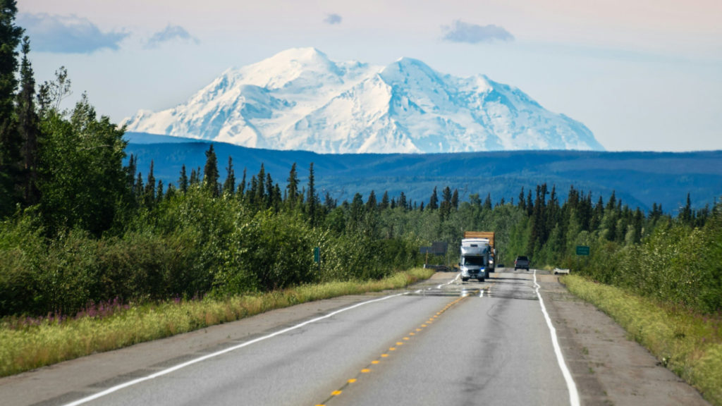
Road access and service availability are separate questions, and a road trip can fail on either. A road can be open while the campground, lodge or visitor center isn’t. A facility can be running while the road you wanted is closed.
The NPS examples show it. At Glacier, most concession services reopen from late May to early June, and in spring lodging and guest services are limited in the park, though available in gateway communities. Around Denali, the NPS says most hotels stay closed until early or mid-May. Yellowstone publishes operating dates for its facilities on a separate page.
Ask these questions, in order:
- Is the road open?
- Is the particular segment I need open?
- Is the facility I plan to use operating?
- Does it have the services I need?
- Is there a workable alternative if it isn’t?
Our service-gap planning guide covers the details of fuel, charging, food and lodging gaps.
Weather Swings and Elevation
Conditions in a gateway town don’t describe the road above it. Temperature changes with elevation, and the National Park Service says it rises about 5.5°F for every 1,000 feet lost at the Grand Canyon. A trailhead town can be mild while a pass is icy.
Spring adds water. The National Weather Service says flooding can come quickly from heavy thunderstorms or slowly from spring snowmelt, and its guidance is to cancel or delay a trip if it would take you over flooded roads. Road barricades and warnings are there for a reason, so turn around, don’t drown. In fall, early storms can arrive before the facilities shut for the season.
Daylight changes too. Fall days shorten and spring days lengthen, so a driving day that works in June may not in late October. Check sunrise and sunset for your dates, and try to finish the longest or least-serviced drive of the day while there’s still light. Use official road authorities for closures. Our road conditions guide explains how to match the source to the road.
Spring and Fall Are Different Planning Problems
Spring Road Trips: Check What Has Reopened
Spring planning is about confirming what has come back. Which road sections have opened, which services have resumed, and is the weather or thaw changing conditions on the route? Don’t assume a road opens on the same date every year. Rocky Mountain’s 2011 and 2012 openings are three weeks apart.
Focus on segment-level road access, service reopenings, current weather and flood information, and alternative routes. Plan a core route you can confirm, with optional segments you’ll add if they open.
Fall Road Trips: Check What Is Still Open
Fall planning is about confirming what remains. Which roads and facilities are still available, and could an early storm or a seasonal shutdown cut the road trip short? Rocky Mountain shows the pattern. When Trail Ridge Road closes for the season, the NPS notes that other popular drives, such as Bear Lake Road and Moraine Park, stay open. The NPS also says Trail Ridge Road isn’t designed to be an all-season road, with 11 miles above 11,500 feet. Denali’s NPS page says that in fall there are no guided activities within the park, and the road can be driven when snow hasn’t closed it.
Focus on current road status, the remaining operating periods for services, daylight and travel time, and a fallback if a route closes early. For timing of peak color, see our fall foliage guide. Where storms or fire are a factor, our hurricane season and wildfire season guides cover them.
Choose the Region and Trip Shape for Partial Access
Build the trip around access you can confirm. A few questions help:
- Should the trip center on a destination with reliable access, not on one seasonal road?
- Is a short route with flexible alternatives more suitable than a long multi-segment itinerary?
- Does the trip depend too heavily on one uncertain road or service?
- Are the stops still worthwhile if one segment isn’t available?
Here is what that looks like in practice. Say you want a mountain drive in spring. You build the trip around the lower roads and gateway towns you can confirm, and you list the high-elevation segment as an add-on. If it has opened by the time you arrive, you drive it. If it hasn’t, the trip still works, because nothing else depended on it.
A good shoulder-season itinerary has a confirmed core route and optional segments that you add if they open. It doesn’t require every uncertain piece to fall into place on schedule. Avoid declaring any region right or wrong for the season. Check the current evidence for the roads you want. Our Arizona road trip guide shows how region and season interact.
Shoulder Season Trip Load
Trip Load measures what a driving day demands beyond its mileage. Shoulder Season Trip Load is a Miles & Mapped planning framework, not an industry metric. It asks how much uncertainty you have to manage across the itinerary. It has five elements:
- Partial road access. How much does the route depend on seasonal or uncertain road sections?
- Partial services. How much does the trip depend on facilities with limited operating periods?
- Weather swing. How much could changing conditions affect access or activities?
- Daylight. How much practical travel time do you have?
- Flexibility. How easily can the plan change without ruining the trip?
A trip with several uncertain dependencies carries a higher planning burden than one built on reliable access with alternatives. There’s no score to calculate. A qualitative read is enough. Our guide to planning a road trip describes the wider method, and the road conditions guide covers status checks.
Booking and Building Fallbacks
You can’t remove uncertainty, but you can keep it from breaking the trip. Confirm access before you commit to a reservation that depends on a particular road, where that’s practical. Ask whether the reservation depends on a road being open, and check the terms for changing or canceling lodging and activities, and avoid an itinerary that needs every uncertain segment to open on schedule. Identify alternative routes, stops and activities, and recheck official conditions as departure approaches.
Sort the road trip into hard and soft constraints, as our planning guide does. A hard constraint is something the trip can’t proceed without, such as a required road connection with no practical alternative. A soft constraint can change without invalidating the trip, such as an optional overlook. Importance depends on the itinerary, so the same road can be optional on one trip and essential on another.
Verify individual policies for a specific booking. This guide makes no general claim about cancellation windows or refund rules.
Shoulder-Season Road Trip Checklist
- ☐ Identify the specific road sections the trip requires.
- ☐ Check current status with the relevant road authority.
- ☐ Verify operating dates for essential services and facilities.
- ☐ Check current weather and relevant alerts.
- ☐ Assess daylight and realistic travel time.
- ☐ Identify an alternative if an essential segment is closed.
- ☐ Separate essential stops from optional attractions.
- ☐ Check the relevant reservation terms.
- ☐ Recheck conditions before you leave and before you commit to uncertain sections.

Common Shoulder-Season Planning Mistakes
- Treating a typical opening date as a guarantee.
- Assuming an open park means every road you want is open.
- Assuming road access means the facilities are operating.
- Building the whole trip around an unconfirmed segment.
- Ignoring elevation and current weather.
- Leaving no alternative if an essential route closes.
- Treating spring and fall as identical.
FAQs
What is a shoulder-season road trip? It’s a trip taken between the peak seasons, usually spring or fall, when roads, facilities and services may only be partly available.
When is the best time for a shoulder-season road trip? It depends on the road, the elevation, the facilities you need and the weather. Plan the window, then confirm current access.
When do national park roads open in spring? It varies by park, road and year. Rocky Mountain’s Trail Ridge Road opened on June 6 in 2011 and May 14 in 2012. Check the park’s current road status.
Are national parks fully open during shoulder season? Not necessarily. A park can be open while some roads, campgrounds, lodging and services aren’t. Check each one separately.
How do I check whether a park road is open? Use the park’s official road status page and the controlling agency for roads outside it. Our road conditions guide explains how.
Is spring or fall better for a road trip? Neither is better for every trip. Spring is about what has reopened, and fall is about what is still open. The answer depends on your route.
PLAN YOUR TRIP YOUR WAY
Build a day-by-day itinerary around your time, pace, interests, and budget.
Build the road trip from confirmed access, essential services and a realistic fallback, not from a calendar assumption. Start with the Miles & Mapped trip planner.