Arizona’s road trip problem isn’t distance. It’s elevation. The same week that temperatures in Phoenix can make outdoor travel difficult, Flagstaff and the Grand Canyon rim can be substantially cooler, and the same week that the northern high country is covered in snow, the southern desert can be one of the better places in the state to drive. A single Arizona itinerary built from sights alone ignores that, and it often sends travelers to the right place in the wrong season.
This Arizona Road Trip guide works in a different order: choose the season, then the region, then the route shape, then check the roads, then build the itinerary. It introduces Arizona Trip Load, a Miles & Mapped planning framework, covers the seasonal hazards that decide which regions work when, and explains a clock problem most Arizona road trip guides skip.
Arizona Road Trip at a Glance
Arizona doesn’t divide into three tidy climate boxes, so these are planning regions, not formal climate zones.
| Planning region | Character | Often used for | Strongest planning windows |
|---|---|---|---|
| Northern Arizona | High elevation, canyon country, cooler conditions | Grand Canyon, Flagstaff, Page, Monument Valley | Spring, summer and fall. Winter is variable |
| Central Arizona | Low to mid elevation, the Phoenix area, the Superstition Mountains, the Prescott corridor | Phoenix-based trips, Prescott, desert scenery | Fall, winter and spring. Summer needs heat planning |
| Southern Arizona | Sonoran Desert, Tucson, saguaro country | Tucson-based trips, desert landscapes | Fall, winter and spring. Summer needs heat and monsoon planning |
Sedona and the Verde Valley sit between central and northern Arizona, so treat them as a bridge between regions.
Why One Arizona Itinerary Doesn’t Work
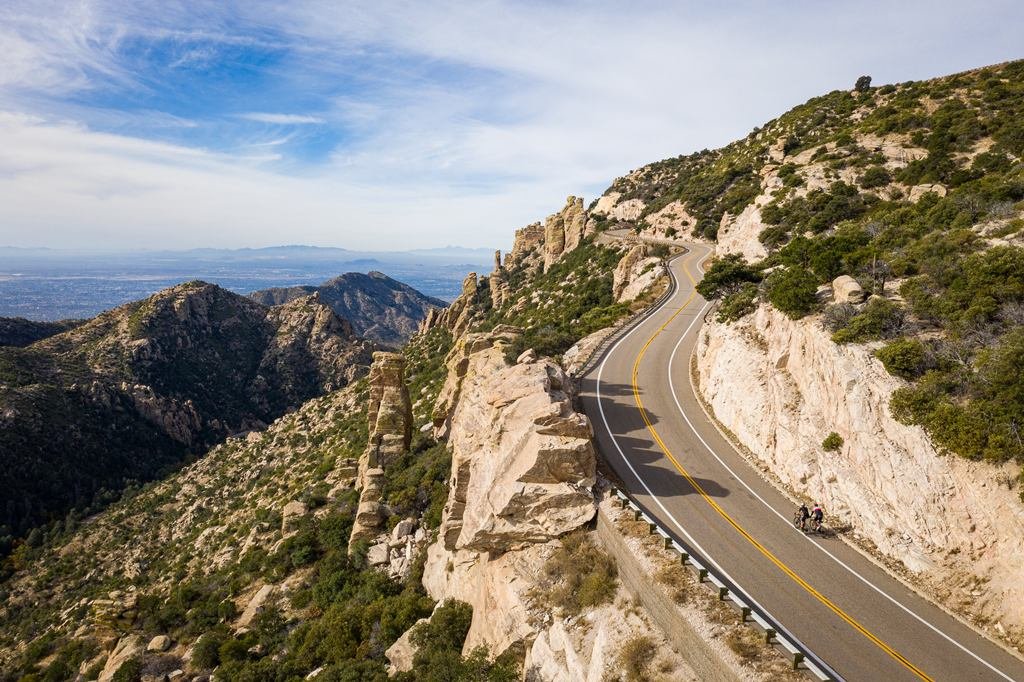
Elevation sets the temperature. The National Park Service says temperature rises about 5.5°F for each 1,000 feet of elevation lost at the Grand Canyon. The South Rim is at about 7,000 feet, and the NPS says summer highs there are generally in the 80s, while the river near Phantom Ranch is typically over 100°F. The National Weather Service puts Flagstaff at about 7,000 feet, and the low desert around Phoenix sits far lower.
The difference runs the other way in winter. The NPS says the South Rim averages 58 inches of snow and that winter conditions there can be extreme, while the low desert stays mild. That’s the thesis in one sentence. As a planning rule, summer often favors northern Arizona while winter often favors central and southern Arizona, but individual roads, elevations and weather can override that pattern.
The Order to Plan In
- Choose the season you can travel.
- Choose the region that works in that season.
- Choose the route shape: loop, out-and-back or one-way.
- Check road and access conditions.
- Build the itinerary.
Most Arizona content starts at step five. Starting at step one keeps the trip from running into a closed road, a hot day or a cold night you didn’t plan for.
Northern Arizona: High Country, Canyon Country and the Colorado Plateau
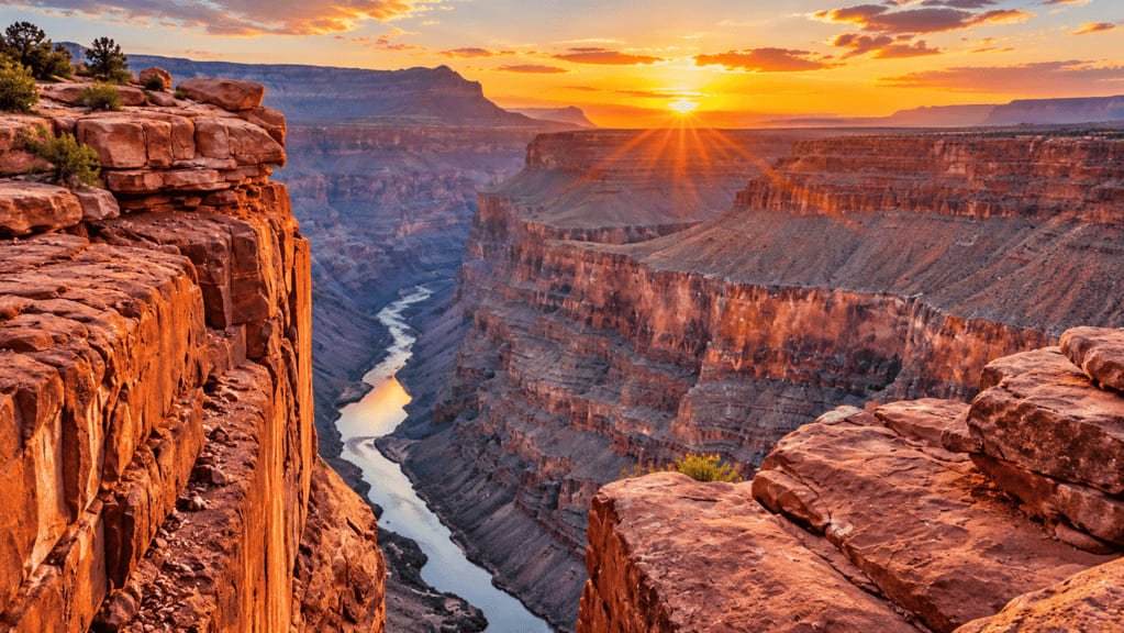
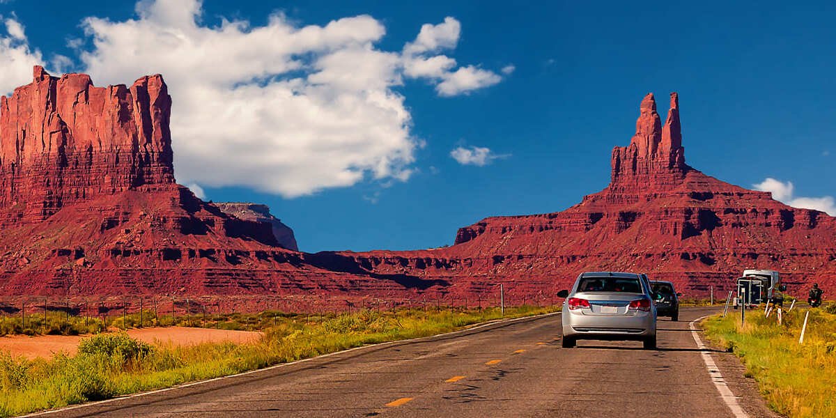
Northern Arizona is the region most visitors mean when they say “Arizona road trip.” It includes the Grand Canyon’s South Rim and North Rim, Flagstaff, Page and Lake Powell, and Monument Valley. The Route 66 corridor through towns like Williams and Flagstaff also sits here, and our Route 66 guide covers how to decide how closely to follow the historic alignments.
Its strength is the summer. The high country stays cooler when the rest of the state is hot. Its limit is winter, when snow and ice complicate the roads and some roads and services have seasonal limits.
The Grand Canyon is a regional anchor here, not the subject of this guide. If the canyon is the purpose of your trip, use our Grand Canyon road trip guide for rim-by-rim planning. North Rim access and services can differ substantially by season and current conditions, so check the National Park Service’s North Rim planning page before you plan that section. If the canyon is one stop on a multi-park trip, our national park road trips guide covers how to plan park days.
The northern anchors also sit far apart. The South Rim, Page and Monument Valley aren’t a short hop from one another, so a trip that links them is a driving trip, and the time between them belongs in the plan before the sights do. Our guide to how many miles to drive in a day explains why.
These northern destinations don’t behave identically. Page and Monument Valley are close to areas where Navajo Nation jurisdiction affects access, tours and timing, which is why the clock section later in this guide matters.
Central Arizona: Phoenix, the Superstition Mountains and the Prescott Corridor
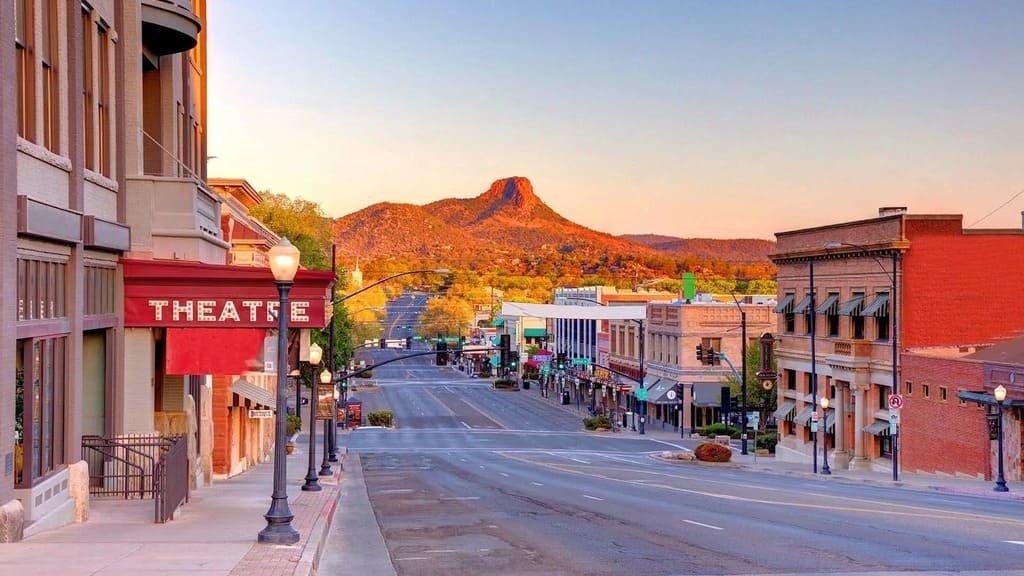
Central Arizona is the low-to-mid-elevation middle of the state. It works well in fall, winter and spring, and it’s a practical base for a Phoenix weekend with desert scenery or a drive up toward Prescott.
Sedona and the Verde Valley show how sharply conditions change over a short drive. The National Weather Service says Flagstaff can have summer lows in the forties or fifties on nights when Sedona is twenty to thirty degrees warmer. That’s a useful rule for planning an overnight: the town you sleep in matters as much as the road you drive.
Summer is the constraint. Heat is the main planning variable here, and our desert road trip timing guide covers how to adjust, including early starts and shorter days. A central Arizona trip can also serve as the low-elevation half of a two-region trip, paired with the high country when the season suits.
Southern Arizona: Tucson and the Sonoran Desert
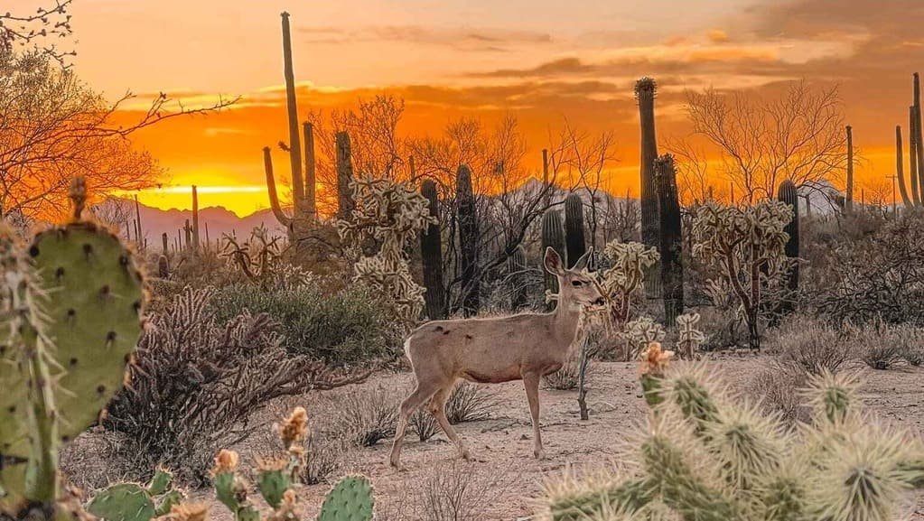
Southern Arizona is the Sonoran Desert end of the state, with Tucson as its base and saguaro country as its signature landscape. It’s strongest in fall, winter and spring, when daytime conditions are mild and the desert is usable for long drives and outdoor stops.
Summer here combines heat with the monsoon, and the next section explains why that matters for driving. Southern Arizona also works as a base for desert day trips, since the region’s best months give you time outside the car. Because services between towns can be sparse, treat fuel and water as part of the route, not an afterthought.
How the Seasons Change the Plan
| Region | Spring | Summer | Fall | Winter |
|---|---|---|---|---|
| Northern Arizona | Strong window | Strong window for the high country, with monsoon storms | Strong window | Variable: snow and ice, with some seasonal limits |
| Central Arizona | Strong window | Heat: plan around it or go elsewhere | Strong window | Strong window |
| Southern Arizona | Strong window | Heat and monsoon: plan around both | Strong window | Strong window |
Spring and fall are where the regions overlap. The north’s winter limits have eased and the south’s summer heat hasn’t arrived, so those seasons suit a two-region trip. In summer and winter the season pulls you toward one region.
This is planning language, not a rating. “Strong window” means conditions are typically comfortable for driving and outdoor stops, and any given week can differ. Check the forecast and road status for your dates.
The Hazards That Decide It
- Heat is mostly a central and southern summer issue. The National Weather Service’s Flagstaff heat page gives a sense of how far apart the state’s temperatures run.
- Monsoon matters most in summer. The National Weather Service defines it as June 15 through September 30, and says flash floods, lightning, dust storms and heat are common hazards. The dates describe the monsoon season, not a guarantee of daily storms, and timing and intensity vary by location and year. NWS Phoenix says thousands of un-bridged low water crossings flood across Arizona each summer, and Phoenix’s city page notes most flash flood deaths occur in vehicles. Don’t drive into water on a road. See the NWS monsoon safety page.
- Winter matters most in the north. Snow and ice shape what’s open and how long a drive takes. Our winter road trip guide covers road status in cold weather.
- Wildfire can affect routes seasonally and without much notice. See our wildfire season road trips guide.
Arizona Trip Load
Trip Load measures what a driving day demands beyond its mileage. Arizona Trip Load is a Miles & Mapped planning framework, not an official risk rating. It describes how much extra planning an Arizona route demands. It has five layers:
- Elevation change. How much does the route climb or drop, and what does that do to temperature and conditions?
- Season and weather exposure. Heat, monsoon storms, snow and wildfire all vary by region and by month.
- Distance between regions. Moving from the low desert to the high country takes real driving time. Our guide to how many miles to drive in a day explains why miles aren’t hours.
- Service availability. Fuel, food, lodging and charging can be sparse between regions.
- Route flexibility. How easily can you change the day, the route or the overnight?
Heat exposure sits inside the second layer where it matters. There’s no score to calculate. The point is to ask the five questions before you commit a day to a road.
Which Arizona Region Fits Your Trip?
- First Arizona road trip: northern Arizona, and the Grand Canyon as the anchor.
- Winter escape: southern Arizona, with central Arizona as a second option.
- Summer road trip: northern and high-country Arizona.
- Desert landscapes: southern and central Arizona, outside the summer.
- Grand Canyon: northern Arizona.
- Phoenix and a desert weekend: central Arizona.
- Long multi-region trip: northern and central, or southern and central.
- Fly in and out: choose the airport based on the route shape, not only the airfare.
Choose the Route Shape
After the region comes the shape. A trip that starts and ends in the same place is a loop or an out-and-back, and one that ends somewhere else is a one-way trip. Our guide to one-way vs. loop road trips explains Return Load and how to compare the real cost of each option.
Season can change the shape too. A summer trip that stays in the high country can run as a loop out of one base, while a winter trip in the south can do the same from Tucson or Phoenix. A trip that crosses regions in a shoulder season is the one most likely to need a one-way or a long return.
Arizona raises the question often because many visitors arrive by air and the best routes don’t return to the airport. A loop can start and end in Phoenix. A fly-in trip can start in Las Vegas and drive through northern Arizona, which our Las Vegas road trip guide covers. Decide the shape before the airline and the rental.

Watch the Clock in Arizona
Most of Arizona stays on Mountain Standard Time all year and doesn’t observe daylight saving time. The U.S. Department of Transportation’s time zone overview says daylight saving time is observed everywhere except Arizona (apart from the Navajo Nation) and Hawaii.
The exception matters here. The Navajo Nation observes daylight saving time, and Utah follows the national daylight saving schedule too. So Arizona’s relationship with its neighbors changes with the season. While daylight saving time is in effect, the Navajo Nation is one hour ahead of most of Arizona. Outside that period, the clocks generally match.
For a road trip, this affects Monument Valley and some destinations near Page, which are on or near Navajo land. It affects tour departures, park hours, sunrise and sunset planning, lodging check-in, and the day you cross a boundary without noticing. The city of Page is not the same thing as the Navajo Nation, which is why the useful habit is to ask each operator or park which clock a posted time uses, and to write it down. Our Las Vegas guide covers the same problem from the Nevada side.
Check Status Before You Go
Match the source to the road. Arizona’s state highways are covered by AZ511, and national park roads have their own status pages, so use our road conditions guide for the method. The National Weather Service offices for Phoenix and Flagstaff cover forecasts and warnings for their areas.
Vehicle type changes the plan too. Our EV road trip guide and RV road trip guide cover charging and route limits that matter across long, sparse stretches.
Common Mistakes
- Choosing the sights before the season.
- Planning one itinerary for the whole state.
- Putting the low desert in the summer plan and the high country in the winter plan without a backup.
- Treating the monsoon as ordinary rain, and driving into water.
- Forgetting that Arizona’s clocks differ from Utah’s and the Navajo Nation’s during daylight saving time.
- Assuming a posted tour time uses the clock you’re on.
- Choosing an airport by airfare before choosing the route shape.
- Packing too many regions into one trip.
FAQs
What is the best time for an Arizona road trip? It depends on the region. Northern Arizona is strong in spring, summer and fall, and central and southern Arizona are strong in fall, winter and spring.
Is Arizona too hot for a road trip in summer? The low desert often is. The high country is cooler, so a summer trip can work if it stays in northern Arizona.
When is monsoon season in Arizona? The National Weather Service defines it as June 15 through September 30. The dates describe the season, not daily storms, and storms can bring flash floods, lightning and dust storms.
Does Arizona have daylight saving time? Most of Arizona doesn’t. The Navajo Nation does, which can create a one-hour difference within the state.
Is Arizona the same time as Las Vegas? It depends on the season. Most of Arizona matches Las Vegas while daylight saving time is in effect and is one hour ahead of Las Vegas outside that period.
Can you road-trip Arizona in one week? Yes, but choose a region or a tightly connected corridor and don’t try to cover the whole state. A week can work well for northern Arizona, for central and southern Arizona, or for a focused multi-region route. Crossing the state repeatedly can turn sightseeing days into long driving days.
How many days do you need for an Arizona road trip? It depends on how many regions you want. One region fits a few days, and a multi-region trip needs more.
Where should you start an Arizona road trip? Start where the route shape makes sense. Phoenix works for loops, and Las Vegas can work for a drive through northern Arizona.
PLAN YOUR TRIP YOUR WAY
Build a day-by-day itinerary around your time, pace, interests, and budget.
Choose the season and region first, then build the stops around them. Start with the Miles & Mapped trip planner.