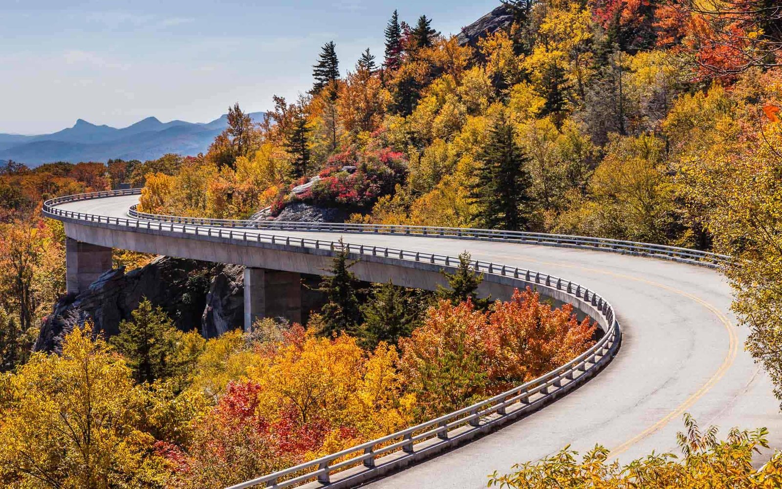
The Blue Ridge Parkway is a 469-mile scenic road connecting Shenandoah National Park in Virginia with Great Smoky Mountains National Park in North Carolina, and the National Park Service describes it as a road built for slow travel at 45 mph or less. That’s the first planning fact. The second is that the Parkway has many places to leave it and rejoin it, which makes it easier to adapt than a road with few exits.
That doesn’t make closures minor. A closure can turn a continuous scenic drive into a set of disconnected sections, so the useful planning unit isn’t the total mileage. It’s the section between access points. This guide shows how to plan a Blue Ridge Parkway road trip that way, using the milepost system as the grid, a Miles & Mapped framework called Parkway Trip Load, and a procedure for when a section is closed.
Blue Ridge Parkway Road Trip at a Glance
| Planning Factor | What to Know |
|---|---|
| Length | 469 miles, from Rockfish Gap, Virginia, to US-441 at Great Smoky Mountains National Park near Cherokee, North Carolina |
| Speed | Maximum 45 mph and often less. NPS says 30 miles is typically about an hour |
| Road character | Slow, scenic and free of commercial traffic |
| Mileposts | Start at 0 at the northern end and rise heading south |
| Direction | Neither direction is inherently better |
| Typical trip | Planned by section, not as one drive |
| Services | No gas stations on the Parkway. Fuel is just off it at access points |
| Closure exposure | Weather, construction, maintenance and emergencies can close sections |
| Seasons | Most facilities are open from Memorial Day until late October, and some open earlier. Winter access varies by section |
Why Parkway Mileage Misleads
469 miles looks like a day or two of driving. It isn’t. At the NPS’s typical pace of about 30 miles an hour, the full length is roughly 15 hours of driving before any stops, and the Parkway has hundreds of overlooks and stopping points. Add fuel stops off the road, weather and closures, and the realistic daily distance falls well below what the same mileage would cover on an interstate.
Published straight-through times vary, which is another reason to plan by section. Our guide to how many miles to drive in a day explains the general principle: miles aren’t hours. On the Parkway, the gap is wider than on most roads.
How the Milepost System Works
Mileposts run from 0 at Rockfish Gap to 469 at the southern end, and they rise as you drive south. Heading north, the numbers count down. The mileposts are posted along the road, and the NPS uses them to locate overlooks, visitor centers, campgrounds and closures. One practical catch: the NPS says car GPS units don’t work well on the Parkway, because the mileposts serve as its addresses and the devices don’t recognize them. Use GPS to reach communities near the Parkway, then follow road signs and a milepost-referenced map.
That makes the milepost the common language for planning. The National Park Service’s road status page lists the Parkway by milepost range and by the crossroads at each end of it. The NPS uses those mileposts and crossroads to describe closures and access points, which makes them useful when you’re comparing the Parkway with the surrounding road network. Our Overseas Highway guide uses mile markers as a navigation system for an island road. Here the milepost works as a planning grid: milepost, access point, nearby road, alternate route, re-entry.
Access Points: Your Itinerary Switches
The NPS says the Parkway can be reached at several intersections with major roads and highways, and that you can use access points to add a section of the Parkway to a longer journey. Think of each major access point as an itinerary switch. At each one, ask:
- Is the next Parkway section open?
- Where is the nearest alternate road?
- Can I re-enter farther ahead?
- Do I need fuel, food or lodging before continuing?
- Does the detour change today’s plan?
Here is how that works in practice. Suppose a closure covers part of the third section. You don’t abandon the day. You leave at the access point before the closed range, drive a state road past it, and rejoin the Parkway at the next crossing. The detour costs time and changes where you eat or sleep, but the day still has a shape. Unlike Beartooth Highway, where a closure can leave you committed to a hard fallback, the Parkway has frequent chances to leave and rejoin. Our Beartooth guide covers the opposite case.
Four Practical Parkway Sections
These four sections are our planning split, not an official NPS division. The access points come from the NPS road status page, and the milepost ranges are approximate.
| Section | Approximate Mileposts | Access Points the NPS Lists | Good For |
|---|---|---|---|
| Rockfish Gap to Roanoke | 0 to 121 | I-64 at Rockfish Gap, US-60, US-460, US-220, Humpback Rocks, James River and Peaks of Otter areas | Arriving from Shenandoah or I-64, and a Roanoke base |
| Roanoke to the State Line | 121 to 217 | US-220, Mabry Mill and US-52, the I-77 crossing, the state line at about milepost 217 | A middle stretch between the two states |
| State Line to Asheville | 217 to 384 | US-21, US-421, US-321/221 at Blowing Rock, Linville Falls, Mount Mitchell State Park, the Folk Art Center, the park headquarters near Asheville | North Carolina’s northern and central stretch, with Asheville at the end |
| Asheville to Cherokee | 384 to 469 | I-40 and Highway 74, US-276, NC-215, US-23/74, US-19, US-441 | The southern end, finishing at the Great Smoky Mountains National Park entrance |
The third planning section is the longest. If you’re planning a shorter stay, you can split it at Blowing Rock.
Use the table to match sections to the time you have. A short trip works best when it stays inside one or two adjacent sections and starts and ends at access points where you can buy fuel and find lodging. A longer trip can chain several sections, but each handoff between them is a place where a closure can change the plan, so pick overnights at access points, not in the middle of a section.
Parkway Trip Load
Trip Load measures what a driving day demands beyond its mileage. Parkway Trip Load is a Miles & Mapped planning framework, not an official NPS rating. It asks how much planning overhead the road adds beyond its mileage. It has four layers:
- Slow-road commitment. The Parkway is designed for slow travel, so a large share of the day is committed to a road where progress is intentionally slow. The problem isn’t only that the road is slow. It’s that you’ve given most of a day to a road you can’t hurry.
- Elevation and weather. Conditions change along the length of the road, and sections can close for weather.
- Services. There are no gas stations on the Parkway, and most facilities are open from Memorial Day until late October.
- Closure exposure. How much of your plan depends on a section that could close, and how close is the nearest access point if it does?
There’s no score to calculate. The point is to ask the four questions for each section before you commit a day.

North to South or South to North?
Neither direction is inherently better, so treat direction as a logistics decision. Start from the north if:
- you’re arriving from Shenandoah or Skyline Drive
- you’re based around Roanoke
- you’re continuing south toward Asheville or the Smokies
Start from the south if:
- you’re entering from Cherokee
- you’re combining the trip with Great Smoky Mountains National Park
- you’re starting from Asheville
- you’re traveling north toward Virginia
The scenery doesn’t disappear in either direction. The variable that matters is where the Parkway fits into the rest of your trip. If you start and end in different places, our one-way vs. loop guide covers the return leg.
How Many Days?
Use these as planning ranges, not rules. Weather, closures and stops can change them.
| Trip Length | Planning Approach |
|---|---|
| 1 day | One focused section |
| 2 days | One or two adjacent sections, with a concentrated drive |
| 3 to 4 days | A meaningful Parkway trip with stops |
| 5 to 7 days | A slower, fuller trip with detours and nearby destinations |
| Longer | Combine with Skyline Drive, Shenandoah, Asheville or the Smokies |
If the Blue Ridge Parkway is the main purpose of the road trip, three to four days gives most travelers enough time to experience multiple sections without turning the trip into a continuous drive. Plan the days by section, and confirm the driving time between your overnights with live routing.
What to Do When a Section Is Closed
Closures are an ongoing planning consideration on the Blue Ridge Parkway. The NPS says weather, road construction, maintenance projects and emergencies can all close sections. When one affects your plan:
- Identify the closed milepost range.
- Find the nearest practical exit or access point.
- Use the state road network to bypass it.
- Choose a realistic re-entry point.
- Recalculate the day’s driving and stops.
The NPS publishes a detour map and an interactive closure map. Some sections are marked “ungated” on its road status page, which the NPS notes means they’re open except in emergency situations. Our road conditions guide covers the general method for matching the source to the road.
Best Time to Drive the Blue Ridge Parkway
There’s no single best season. The NPS says most Parkway facilities are open from Memorial Day until late October, with some visitor centers and campgrounds opening earlier, so a trip outside that window has fewer services. The NPS says traffic is heaviest in June, July, August and October, especially on weekends and holidays, so fall color trips can require extra time at overlooks and along the road. Our fall foliage guide covers the timing question.
Winter access varies by section and by conditions. The NPS says sections may close for ice and snow, and thawing and refreezing on bridges or in shaded curves can keep some sections closed for extended periods. Don’t assume the Parkway is closed or open for the whole winter. Check the NPS before you build a winter itinerary around it, and use our winter road trip guide for the status method. Storms and fires can also close sections, and our hurricane season and wildfire season guides cover those risks.
Check Road Status Before Each Section
Start with the National Park Service. Its road status and closures page lists the Parkway by milepost section from north to south, with crossroads, a status for each section and a timestamp, and it links to a detour map, an interactive map and the road construction page. Read the timestamp and check again before entering your next section; the NPS notes that status can change during the day.
When a closure affects an approach road or a detour, check the state DOT as well: DriveNC for North Carolina and 511 Virginia for Virginia. The NPS also directs travelers to Great Smoky Mountains National Park for closure information at the southern end. Check again at each access point, as our road conditions guide describes.
Pairing the Blue Ridge Parkway With Skyline Drive
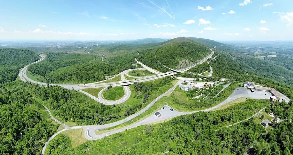
Skyline Drive in Shenandoah National Park connects to the Blue Ridge Parkway at Rockfish Gap, so the two roads can make one long scenic trip. They’re separate roads with separate status pages. Don’t treat them as one continuous road, and check each one’s current status independently before you build a day around both. A dedicated Skyline Drive guide is a better place for that road’s planning. The Parkway can also be one leg of a larger national park road trip, particularly with Shenandoah or Great Smoky Mountains, as our national park road trips guide describes.
Vehicle and RV Considerations
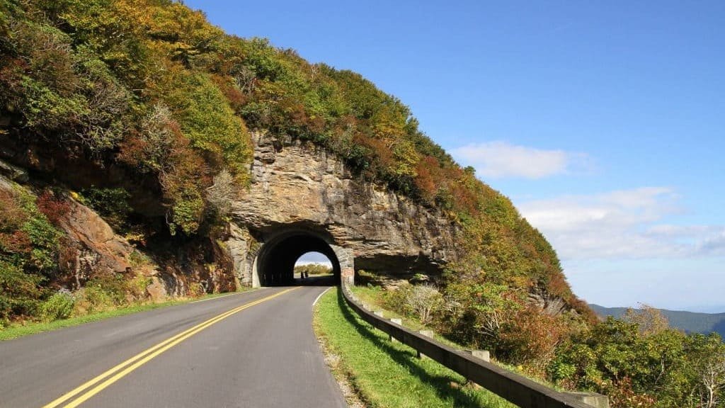
The Blue Ridge Parkway has tunnels, and the NPS lists their heights by milepost. It notes that many, but not all, have a minimum vertical clearance of 14 feet at the edge line, and it advises detouring around a section if your vehicle won’t fit. Check the list before you commit a tall vehicle to a section. Our RV road trip guide covers route compatibility.
A vehicle that can physically use the Blue Ridge Parkway isn’t necessarily the right one for a long Parkway day, because the slow pace and curves add to the load. Fuel is another vehicle issue. Because there are no gas stations on the Parkway, treat the fuel and charging locations near access points as part of the route plan. For alternative fuel vehicles, the NPS suggests the Department of Energy’s Alternative Fueling Station Locator, and our EV road trip guide explains how to plan charging as part of the route.
Common Mistakes
- Planning the Parkway as one 469-mile drive.
- Dividing the mileage by a highway speed.
- Starting a section without checking its status.
- Leaving the Parkway for fuel without planning where to rejoin.
- Treating direction as a scenery contest.
- Assuming facilities are open outside the typical season.
- Treating the Parkway and Skyline Drive as one road.
FAQs
How long is the Blue Ridge Parkway? It’s 469 miles, from Rockfish Gap in Virginia to US-441 near Cherokee, North Carolina.
How long does it take to drive the Blue Ridge Parkway? The NPS says 30 miles is typically about an hour, so the full length is around 15 hours of driving before stops. Plan by section.
How many days do you need for the Blue Ridge Parkway? It depends on how many sections you want and how slowly you drive. See the planning ranges above.
Which direction should you drive the Blue Ridge Parkway? Either works. Choose based on where you’re arriving from and where the trip goes next.
Are there gas stations on the Blue Ridge Parkway? No, but there are several just off it at access points. Plan where to fuel before each section.
Is the Blue Ridge Parkway open year-round? Sections can close for weather, construction and maintenance, and winter access varies by section. Check the NPS road status page.
What do you do if part of the Blue Ridge Parkway is closed? Find the closed milepost range, exit at the nearest access point, bypass on state roads, and choose a re-entry point.
Can you drive an RV on the Blue Ridge Parkway? Many tunnels have a minimum clearance of 14 feet at the edge line, but not all do. Check the NPS tunnel height list.
PLAN YOUR TRIP YOUR WAY
Build a day-by-day itinerary around your time, pace, interests, and budget.
Plan the Blue Ridge Parkway road trip one section at a time, and decide your fallback at each access point. Start with the Miles & Mapped trip planner.