On a map, the Olympic Peninsula loop looks like a one-day drive. US-101 circles the peninsula, and the park sits in the middle of the circle. The catch is that no road crosses the park. The highway runs around it, and each major area is reached by a separate road that leaves the loop, climbs or winds inland or out to the coast, and ends. You then drive back out the same way.
The loop connects the region. The spurs use up your time. This guide shows how to count them. It introduces Spur Load, a Miles & Mapped planning idea that measures what it costs to leave the main route for a single destination, and uses it to decide how many spurs fit your trip, which ones belong together, and where to start and sleep.
Olympic Peninsula Loop at a Glance
| Area | Main experience | Stop or spur | Spur Load |
|---|---|---|---|
| Hurricane Ridge | Mountain views and meadows | Spur: 17-mile paved road climbing from the Port Angeles side | High |
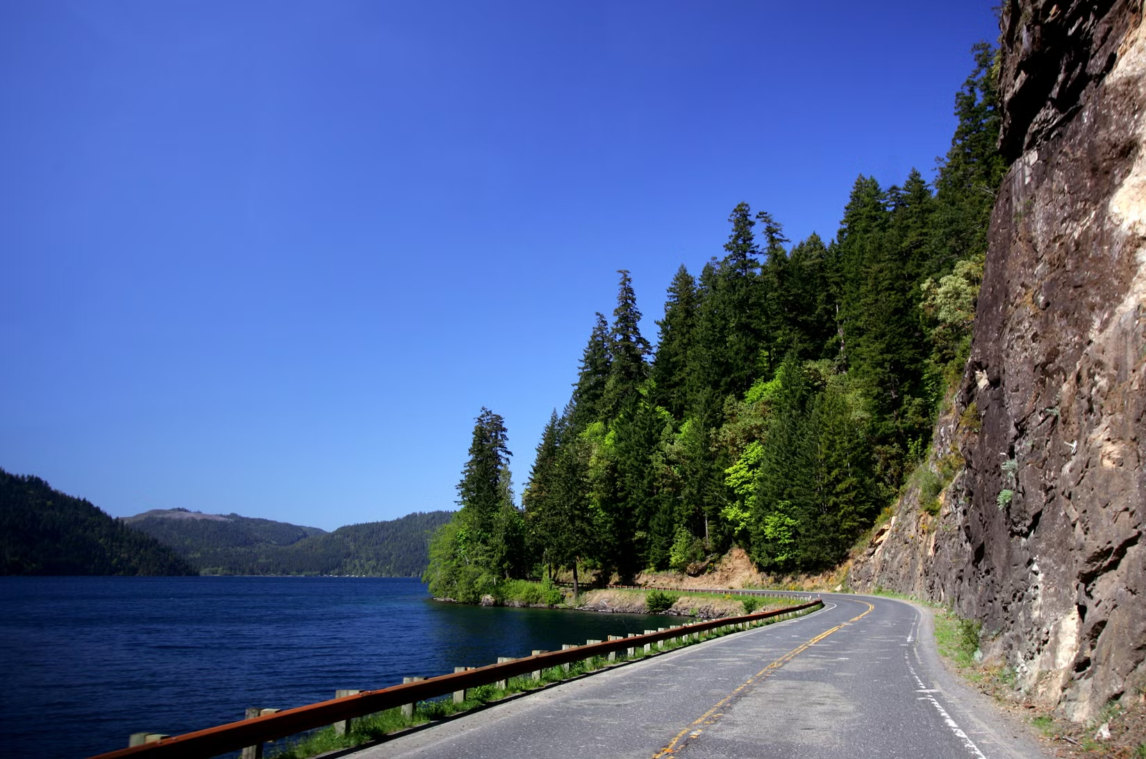
| Lake Crescent | Lake and scenic drive | Stop: US-101 runs along the lake | Low |
| Sol Duc | Waterfall, forest, hot springs resort | Spur: 14-mile paved road from US-101 | Medium |
| Hoh Rain Forest | Old-growth rain forest | Spur: 18-mile paved road from US-101 | High |
| Rialto Beach | Wild coastline near La Push | Spur: Mora Road, 5 miles to the beach | Medium |
| Ruby Beach and the Kalaloch coast | Coastal stops | Stop: close to US-101 | Low |
| Lake Quinault | Lake and rain forest on the south side | Spur: shore roads off US-101 | Medium |
| Cape Flattery | Northwest tip of the contiguous U.S. | Spur: a long extension on Highway 112 and Cape Flattery Road | High |
The road lengths come from the National Park Service’s road conditions page. Spur Load labels are planning shorthand, not measured scores, and they describe a typical visit. Your own labels will shift with the season, your pace and how much time you want at each end of the road.
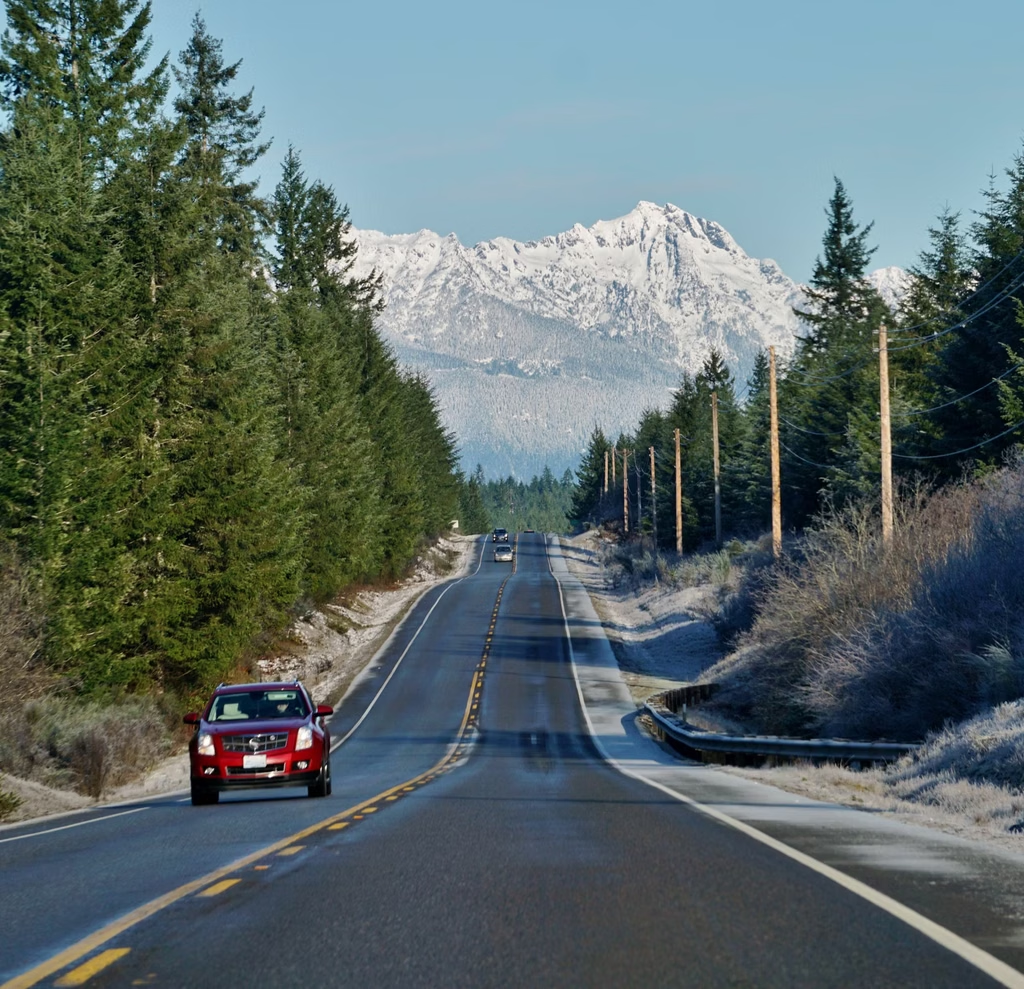
Why the loop isn’t the whole road trip
Most Olympic itineraries answer the question “what do I do each day?” The planning problem comes first: how much of your trip goes to moving around the loop, and how much goes to the roads that lead off it?
A traveler who looks only at the loop’s mileage will plan it as a one-day or two-day drive. The park’s own spur roads make that estimate unreliable. The Hoh road alone is listed at 18 miles from US-101, which means 36 miles of driving to reach the rain forest and return, before any time on a trail. Sol Duc and Hurricane Ridge add similar out-and-back legs. Each one also comes with activity time, parking, and sometimes a wait at the entrance.
The result is the same idea behind our guide to how many miles to drive in a day: miles are not hours. On the Olympic Peninsula, the useful unit is a spur.
What is Spur Load?
Trip Load measures what a driving day demands beyond its mileage. Return Load measures what it costs to get back to where you started. Spur Load applies the same thinking to the side trips.
Spur Load is the extra time, driving, decision-making and logistical friction created by leaving the main loop to reach one destination and then returning to the loop. It’s a Miles & Mapped planning framework, not an industry metric. It has four parts:
- Detour time. How many extra hours of driving does the spur add, counting the trip in and the trip out?
- Activity time. Are you driving to a viewpoint, or spending half a day on a trail or at a beach?
- Access friction. Parking, entry lines, permits, seasonal road schedules, trailhead capacity and ferry timing can all change what a spur costs.
- Closure exposure. If this road is closed when you arrive, what happens to the rest of the day, and to where you sleep tonight?
There’s no score to calculate. The point is to ask all four questions about each spur before you commit it to a day.
A stop is not a spur
A stop is something you meet along the route. A spur is something you leave the route on purpose to reach. Lake Crescent sits beside US-101, so it’s a stop. Hurricane Ridge requires a separate climb, so it’s a spur. The distinction matters because stops cost minutes and spurs cost hours, and an itinerary that treats them the same will run late.
The major Olympic Peninsula spurs
This guide is for planning the drive, so each spur below covers where it branches, what kind of day it creates, and what to check. For trail-level detail, use the park’s own pages.
Mountain: Hurricane Ridge
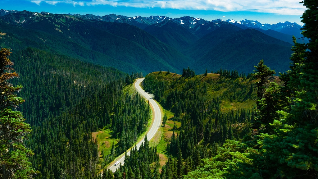
Hurricane Ridge is the mountain spur, reached by a 17-mile paved road that climbs from the Port Angeles side. It gives the peninsula’s best mountain views in a short drive, but it’s a full spur with a real climb and a closure risk that varies by season. NPS says the road may open or close depending on road conditions and weather. In winter it’s scheduled to be open on weekends and some holidays, weather permitting, so a weekday plan that depends on it can fail in a way a summer plan wouldn’t.
Rainforest: Hoh, and the southern valleys
The Hoh Rain Forest is the longest of the rainforest spurs, at 18 miles of paved road from US-101. Plan it as a half-day or more. Lake Quinault, on the south side, gives a second rainforest option with a shorter commitment in some configurations, and its shore roads have had their own closures, so check them before building a day around them.
Coast: Rialto Beach and the Kalaloch coast
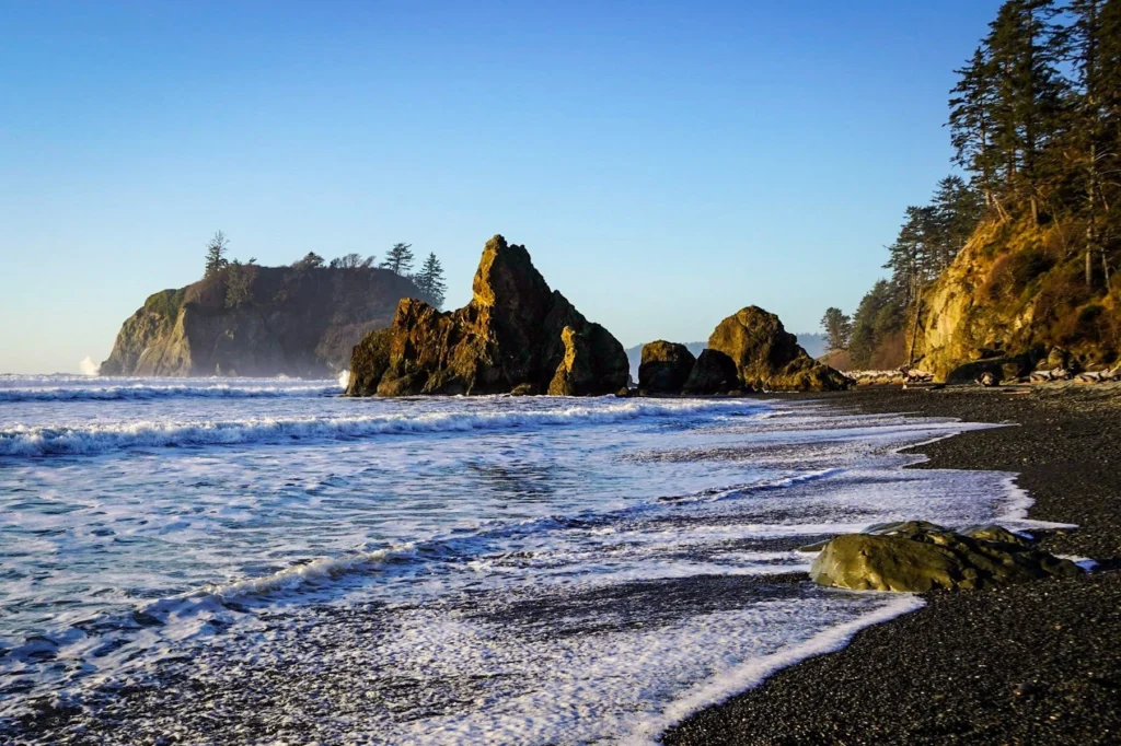
The coast splits into two kinds of plan. Ruby Beach and the Kalaloch coast sit close to US-101 and work as stops. Rialto Beach near La Push needs the Mora Road spur, which NPS lists at 5 miles to the beach. Plan Rialto as a spur and the rest of the coast as stops, and the coastal day gets easier to build.
Northwest extension: Cape Flattery
Cape Flattery is the farthest spur, on Makah Nation land at the northwest tip of the peninsula. State Route 112 alone runs roughly 64 miles from near Port Angeles to Neah Bay, followed by about 7 more miles on Cape Flattery Road to the trailhead. The Makah Tribe requires a recreation permit for visiting trails and beaches there, and it’s separate from any national park pass. Check the Makah Tribe’s recreation permit page for the current permit and conditions. Because the drive is long, this spur usually decides where you sleep.
Which spurs work well together?
Don’t count attractions. Count geographic clusters. Some spurs sit near each other and others pull you in opposite directions, so the same list of sights can take two days or four depending on how you group it.
Four sleeping bases cover most of the peninsula, and each one makes a different set of spurs cheap:
- Port Angeles and the north side: Hurricane Ridge, and the start of the drive toward Cape Flattery.
- Lake Crescent and Sol Duc: the lake as a stop, and the Sol Duc spur a short drive away.
- Forks and the west side: the Hoh road to the south, Rialto Beach and La Push to the west, and the road toward Cape Flattery to the north.
- The Kalaloch and Quinault side: coastal stops, and the southern lake and rainforest roads.
A base in Forks, for example, puts both the Hoh and Rialto spurs within a reasonable drive. Sleeping in Port Angeles and then trying to do both in one day makes the same pair expensive. These groupings are a starting point. Check them against a current map and your own lodging options.
Where to start and which direction to drive
Clockwise or counterclockwise is the smaller question. Three questions matter more.
Where are you coming from? Seattle and Tacoma travelers can reach the peninsula by ferry or by driving around Puget Sound, and travelers from the south can approach through Olympia. Each entry point puts you at a different place on the loop on the first night.
Which side do you want first? Starting on the north side puts Hurricane Ridge and Lake Crescent early, and starting on the west side puts the rainforest and coast early. If weather is a concern, start with the spur you’d least like to lose.
Where are you sleeping each night? This one changes the cost of every spur. A route that looks efficient on a map can create backtracking if your lodging is on the wrong side of the park.
The ferry is part of the route
A ferry can decide where the trip begins and how the loop closes. Washington State Ferries takes vehicle reservations on a few routes, including Port Townsend and Coupeville, and recommends them strongly there. Reservations are one way, so you’d book each direction separately. Other routes, such as Seattle to Bainbridge Island, don’t take vehicle reservations. A ferry is one way to enter or leave the loop, not a requirement, and the route can also be driven around Puget Sound. Check WSDOT’s ferry reservations page for the current schedule and reservation rules.
If you fly into one airport and out of another, a loop has little Return Load, but the trip is still open-jaw, and the rental and flight choices from that guide still apply.
How many spurs fit your trip?
Don’t start from “how many days do I need?” Start from how many spurs you want and how much slack you want between them. This table gives a practical planning range for each trip length. It’s a starting point, not a rule, because weather, hiking goals and road conditions can change the numbers.
| Trip length | Planning approach |
|---|---|
| 2 days | A small number of high-priority areas, with stops instead of spurs where possible |
| 3 days | The loop plus several major spurs |
| 4 to 5 days | More room for rainforest, mountain and coast spurs, and a night on the west side |
| 6 days or more | A slower pace, more time on trails, and an extension such as Cape Flattery |
If a day has more than one long spur in it, count it as the whole day. Two spurs that each take half a day don’t leave room for the drive between them.
Check road and ferry conditions before you go
The park can be open while a spur isn’t. The same idea as our winter road trip guide, park open does not mean road open, applies here at a smaller scale: peninsula open does not mean every spur open.
Closures on the peninsula aren’t always short. The Elwha and Olympic Hot Springs road has been closed to vehicles since a washout in 2021, and the Dosewallips road has been closed since 2017, according to NPS’s road conditions page. In 2026, a construction closure on Mora Road also kept vehicles from Rialto Beach for months. A closure does more than remove one attraction. It changes where you sleep, which other spurs make sense, and how much time is left for the next one.
Before you drive, check NPS’s alerts and current road conditions pages, WSDOT’s travel alerts and ferry status, and county road information for roads outside the park. Do it again the day before and the morning of each spur. Fees are listed on the park’s fees page, so this guide doesn’t repeat them.
Common mistakes
- Planning the loop by mileage and ignoring the spurs.
- Counting a stop and a spur as the same amount of time.
- Putting two long spurs in one day.
- Choosing lodging on a map, without checking which spurs it makes cheap or expensive.
- Assuming a ferry reservation is optional on the routes that recommend one strongly, or forgetting to book the return sailing.
- Treating a closure as a lost attraction, and missing the effect on the rest of the plan.
FAQs
How many days do you need for the Olympic Peninsula loop? It depends on how many spurs you want, not on the loop’s mileage. Use the spur budget table above as a planning range, then adjust for weather and hiking goals.
Can you drive through Olympic National Park? No road crosses the park. US-101 goes around it, and spur roads lead in from the edges. Each one ends, and you drive back out.
Is Hurricane Ridge open in winter? NPS has scheduled winter access on weekends and some holidays, weather permitting, and says the road may open or close with conditions. Check the park’s alerts before you plan around it.
Do you need a ferry to do the Olympic Peninsula loop? No. You can drive around Puget Sound instead. If you use a Port Townsend and Coupeville sailing, vehicle reservations are strongly recommended and are one-way, so book each direction.
Do you need a separate pass for Cape Flattery? Yes. Cape Flattery is on Makah land, and the Makah Tribe requires its own recreation permit. A national park pass doesn’t cover it. Check the tribe’s website for current rules.
Which direction should you drive the loop? Either works. Choose based on where you’re arriving from, which spurs you most want to protect from bad weather, and where you’ll sleep.
Is the Olympic Peninsula loop worth it without much hiking? Yes, if you plan around stops and a few short spurs. The coastal stops, Lake Crescent and the viewpoint at Hurricane Ridge, don’t need long hikes.
PLAN YOUR TRIP YOUR WAY
Build a day-by-day itinerary around your time, pace, interests, and budget.
Pick your spurs first, then build the loop around them. The Miles & Mapped trip planner can help you lay out the stops and see how the spurs add up before you book lodging or a ferry.