
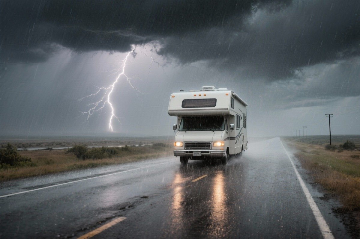
Hurricane season isn’t a reason to skip a coastal route. It’s a reason to build flexibility into the itinerary before you leave. The trip isn’t ruined by a storm forming somewhere in the Atlantic. A rigid itinerary is what gets ruined, because it has nowhere to give when conditions change. The Atlantic hurricane season runs June 1 through November 30, overlapping both peak summer travel and the fall trips many people are already planning along the Gulf Coast, Florida, and the Atlantic seaboard.
Most people planning a coastal road trip this time of year are planning inside the season, whether they’ve thought of it that way or not.
Hurricane Season Road Trips at a Glance
| Planning factor | Practical approach |
|---|---|
| Season | June 1–November 30, Atlantic basin; peak activity roughly mid-August to mid-October |
| Storm alerts | A hurricane watch means possible conditions within 48 hours; a warning means expected conditions within 36 hours |
| Your real decision point | Usually earlier than the watch or warning, once forecasts and lodging start shifting |
| Route exposure | Depends on how many ways you have to leave the area, not just how close you are to the coast |
| Booking strategy | Refundable where possible, with a fallback town chosen in advance |
| Road status source | The road’s own authority (NPS, state DOT), not a navigation app |
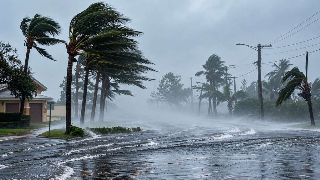
Understand the Storm Timeline — and Your Decision Timeline
The National Hurricane Center’s alert system runs on a specific schedule. A hurricane watch means hurricane conditions are possible within about 48 hours. A hurricane warning means they’re expected within about 36 hours. Those numbers are precise, but they aren’t your actual planning window.
The storm information timeline runs from an early outlook to a watch, to a warning, to local evacuation orders and road closures. Your travel decision timeline needs to run ahead of that: monitor conditions well before a watch is issued, review your bookings, identify a fallback plan, and decide whether to continue or change course, so that if official guidance does arrive, you’re acting on it rather than starting from scratch. By the time a watch is issued, lodging along the affected coast can already be filling with people leaving the area, fuel availability can become more constrained, and roads out of a peninsula or barrier island can already be busier than usual.
The official alert timeline and the travel-planning timeline aren’t the same thing, and treating the watch itself as your first decision point means you’re often reacting later than you’d like.
How Route Character Changes Storm Planning
| Route character | Planning issue |
|---|---|
| Constrained route (single or limited exit) | Leaving may depend on one major road or corridor |
| Town-dense coastal route | More alternative lodging, roads, and services if plans change |
| Inland route | Less direct coastal exposure, but still subject to flooding or storm remnants |
| Mountain or elevation route | Storm remnants can bring flooding, landslides, or washouts far from the coast |
Constrained Routes
The Overseas Highway through the Florida Keys is the clearest example: one road connects the whole chain of islands to the mainland, so leaving the Keys means leaving on that one road, whatever the traffic looks like. That isn’t a reason to avoid the route. It’s a reason to plan around having fewer options if you need to leave quickly, and to build your schedule with more margin than you would on a route with several alternative roads out.
Town-Dense Coastal Routes
A coastal route that runs through several towns in sequence, rather than out to a single point, generally offers more lodging alternatives, more road options, and more services if your plans need to change. That doesn’t eliminate storm risk, but it gives you more room to adjust without abandoning the trip entirely.
Inland Routes
Being away from the coast reduces direct storm surge and wind exposure, but it doesn’t eliminate storm impact. Heavy rainfall from a storm’s remnants can travel well inland and cause serious flooding far from where the storm made landfall.
Mountain Routes
This is the one most people don’t expect. The Blue Ridge Parkway is a good example of how hurricane impacts can extend far inland. Hurricane Helene caused major landslides, washouts, debris, and infrastructure damage along the Parkway, particularly in western North Carolina. Several sections remain subject to Helene-related closures and ongoing recovery work in 2026, so current road status matters even long after the storm itself has passed.
See the National Park Service’s Blue Ridge Parkway road status and recovery updates for the current picture rather than relying on any single fixed description of what’s closed. The lesson isn’t that mountain routes are especially dangerous during hurricane season — it’s that a storm’s footprint doesn’t end at the coastline, and a route hundreds of miles inland can still carry real, long-lasting effects from a storm that never directly hit it.
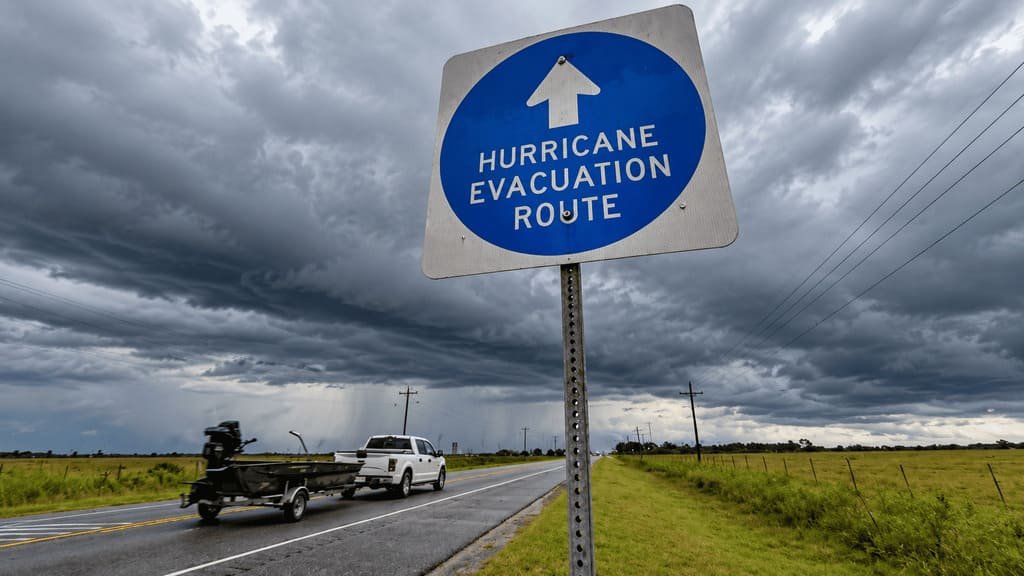
Build Flexibility Into the Itinerary
Refundable lodging doesn’t guarantee you’ll get reimbursed for every disruption, but it gives you room to change plans without also losing money on top of everything else.
A fallback town, chosen before you leave rather than while everyone’s checking phones in a parking lot, gives you somewhere concrete to redirect toward if your original destination becomes impractical.
A bailout date — a point at which you stop trying to salvage the original itinerary and switch to the fallback plan — keeps you from drifting into a worse and worse position while hoping conditions improve.
Reasonable fuel and cash reserves are a resilience measure, not a sign that a shortage is coming; having them just means one less thing to solve under pressure if you do need to move.
Avoid stacking nonrefundable commitments on top of each other — nonrefundable lodging, nonrefundable tickets, a nonrefundable ferry reservation, and a campground booking that all depend on each previous day going exactly as planned. That’s the itinerary structure with the least room to adapt, which is exactly the wrong shape for hurricane season.
If a Storm Forms While You’re on the Road
Treat the original itinerary as provisional the moment a storm becomes a real possibility for your route, rather than holding onto it until conditions force the issue. Check official storm information from the National Hurricane Center and National Weather Service, then check local emergency management for your specific area, then check actual road conditions from the relevant state DOT or road authority — three different sources answering three different questions. From there, work out whether your current location is actually in the affected area rather than assuming based on general news coverage.
If official guidance indicates you should leave or shelter, act on that guidance rather than waiting for conditions to visibly deteriorate, and follow the evacuation or emergency-routing instructions issued by local authorities rather than improvising your own route. That’s the point where your fallback town and bailout date do their job — you already decided what you’d do, so you’re executing a plan instead of making one under pressure.
Which Sources Should You Trust?
The National Hurricane Center is the source for storm forecasts, watches, and warnings. The National Weather Service covers local weather hazards and warnings. State and local emergency management agencies cover evacuation orders and local emergency instructions. The relevant state DOT or transportation authority covers road closures and current travel conditions, and the National Park Service or other park authority covers park-specific road and facility status where applicable. Your navigation app is useful for routing, but it isn’t the authoritative source for closures or evacuation instructions — it tells you how to get somewhere, not whether you should be traveling there right now.
Hurricane-Season Trip Load
A normal Trip Load is driving, stops, activities, and transitions. Hurricane season adds a Weather Uncertainty Load on top of that: forecast monitoring, potential itinerary changes, managing flexible bookings, checking road status more than once, keeping a backup lodging option live, and living with genuine uncertainty for stretches of the trip. A hurricane-season itinerary can have low physical driving demand and still carry a high decision load, simply from all the checking, rechecking, and contingency planning running in the background even on a day when nothing actually happens.

When to Rework or Postpone Your Trip
Consider reworking the itinerary when your route or destination is affected by an active official watch or warning, your primary route becomes inaccessible, your fallback lodging is no longer viable, road conditions materially change, or your schedule leaves no realistic room to adjust. Consider postponing or canceling when official guidance conflicts with continuing the trip, safe alternatives aren’t practical, the itinerary has become too dependent on access that’s no longer reliable, or you can no longer maintain reasonable flexibility no matter how you rearrange it.
Common Mistakes
- Treating the official season dates as the only planning information that matters.
- Waiting for a watch or warning before reviewing the itinerary at all.
- Having no fallback town chosen in advance.
- Booking entirely nonrefundable lodging along an exposed route.
- Treating a coastal route and a constrained island or peninsula route as the same planning problem.
- Assuming being inland means being unaffected.
- Relying entirely on a navigation app for road status.
- Ignoring updates from the actual road authority in favor of general news coverage.
- Trying to preserve every original reservation after conditions have clearly changed.
- Building an itinerary with no extra days to absorb a delay.
FAQs
Is it safe to take a road trip during hurricane season? Hurricane season alone doesn’t determine whether a particular road trip is appropriate. The relevant factors are the current forecast, route exposure, official guidance, road conditions, and how much flexibility your itinerary has.
When is hurricane season? The Atlantic hurricane season runs June 1 through November 30, with peak activity from mid-August through mid-October.
What should I do if a hurricane forms during my road trip? Check official storm and road information from the sources above, treat your original itinerary as provisional, and follow official evacuation or emergency-routing instructions if they’re issued rather than improvising your own route.
Should I cancel a Florida road trip during hurricane season? There isn’t a blanket answer. Consider the current forecast, your specific destination and route, official guidance, road conditions, and whether you have enough flexibility to change the itinerary if conditions deteriorate.
Can hurricanes affect roads far inland? Yes. Storm remnants can bring heavy rainfall, flooding, and in mountainous areas, landslides and road washouts, well beyond where the storm made landfall — the Blue Ridge Parkway’s ongoing Hurricane Helene recovery illustrates this.
Is the Florida Keys or Overseas Highway different during hurricane season? Yes — it’s a constrained route with a single main highway connecting the island chain to the mainland, so plan with more margin for leaving than you would on a route with several alternative roads out.
Can travel insurance cover a hurricane-related trip disruption? It depends on the specific policy, the type of disruption, and the timing of your purchase relative to the storm or named-storm designation. Read the policy’s covered reasons, exclusions, and timing provisions directly rather than assuming coverage applies.
PLAN YOUR TRIP YOUR WAY
Build a day-by-day itinerary around your time, pace, interests, and budget.
Use our planner to build a route with the flexibility hurricane season calls for, around your available days, your starting point, and how much margin you want to build in.



1 thought on “Hurricane Season Road Trips: How to Plan Around the Storm Season”