The Great Smoky Mountains straddle the Tennessee-North Carolina border, with Newfound Gap Road cutting about 35 miles through the park’s center between Gatlinburg and Cherokee.
It’s the most visited national park in the country, drawing more traffic than Yellowstone and Grand Canyon combined, largely because there’s no entrance fee and it sits within a day’s drive of a large share of the U.S. population. The park’s elevation changes quickly, from valley forests to spruce-fir stands near 6,000 feet, and temperatures can shift 10 to 20 degrees between the base and the ridgelines.
Wildlife is common here, particularly black bears and elk, and traffic often slows around sightings the same way it does in Yellowstone. Most people spend 3 to 4 days in the area, splitting time between short overlooks and longer hikes.
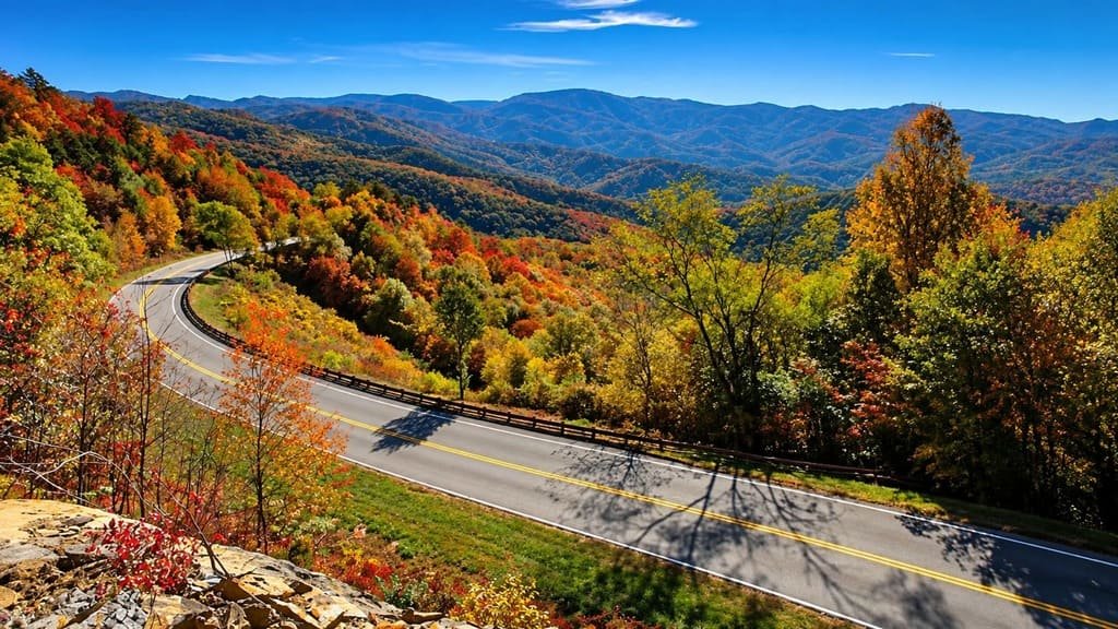
Fall foliage draws the heaviest crowds, usually peaking in mid-October, while spring brings wildflowers to the lower elevations.
Route Details: Great Smoky Mountains Road Trip
Gatlinburg to Newfound Gap (16 miles)
Leaving Gatlinburg, the road climbs steadily along Newfound Gap Road, gaining elevation past several pull-offs with views back toward the Tennessee foothills. Newfound Gap itself, at 5,046 feet, marks the state line and was the site of Franklin D. Roosevelt’s 1940 dedication speech for the park, with a stone platform still marking the spot.
Newfound Gap to Clingmans Dome (7 miles)
A spur road off Newfound Gap leads to Clingmans Dome, the highest point in the park at 6,643 feet and the third-highest peak east of the Mississippi. A steep, half-mile paved trail leads from the parking area to an observation tower with 360-degree views, though the peak is often shrouded in cloud cover, especially in summer afternoons.
Newfound Gap to Cherokee (18 miles)
The road descends the North Carolina side of the park toward Cherokee, passing Mingus Mill, a working water-powered gristmill similar in style to the one on the Blue Ridge Parkway. Cherokee itself sits at the park’s southern entrance and is the seat of the Eastern Band of the Cherokee Nation, with the Museum of the Cherokee People covering the tribe’s history in the region.
Side Trip: Cades Cove (round trip from Gatlinburg, about 50 miles)
Cades Cove is an 11-mile one-way loop road through a valley once home to a small farming community, with several preserved log cabins, churches, and a grist mill still standing along the route. It’s one of the most reliable spots in the park for wildlife sightings, and the loop can take two to four hours to drive during peak season due to slow traffic and wildlife stops.
Side Trip: Roaring Fork Motor Nature Trail (round trip from Gatlinburg, about 12 miles)
This one-way loop just outside Gatlinburg passes several preserved homesteads and mountain streams, including Grotto Falls, a short hike that passes behind the waterfall itself. The road is narrow and closes in winter, so it’s best treated as a half-day add-on rather than a through route.
Use the trip planner to build a day-by-day road trip itinerary based on your available time and starting point.