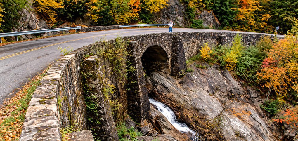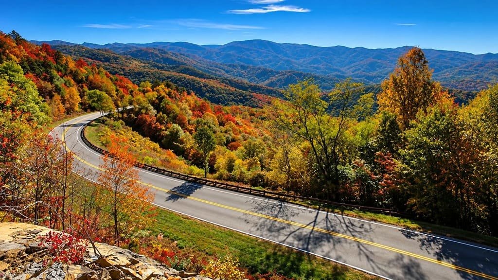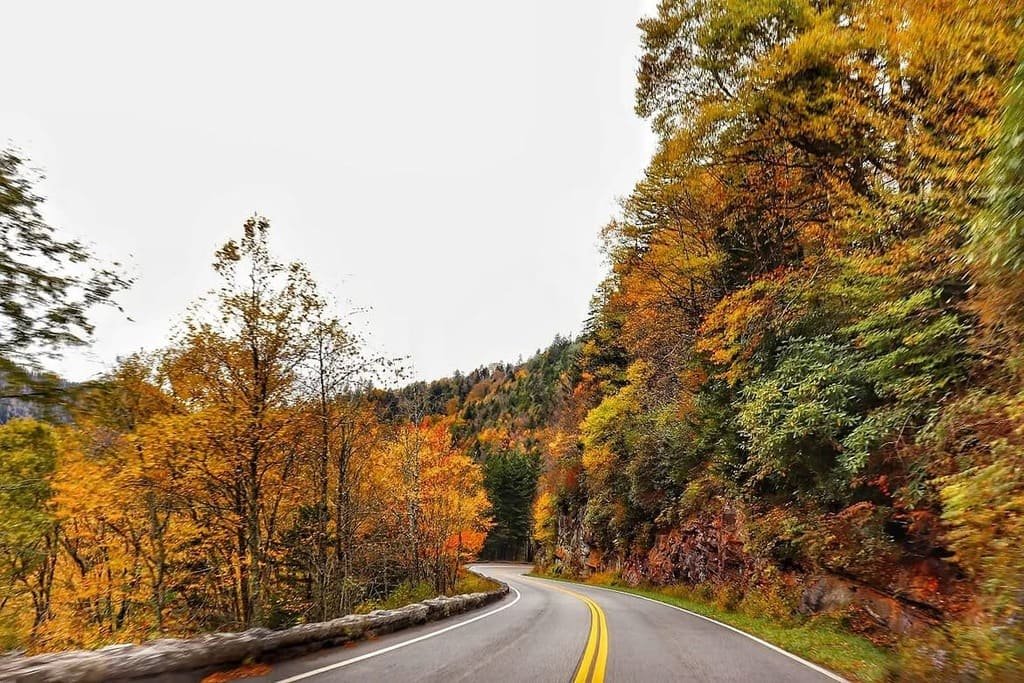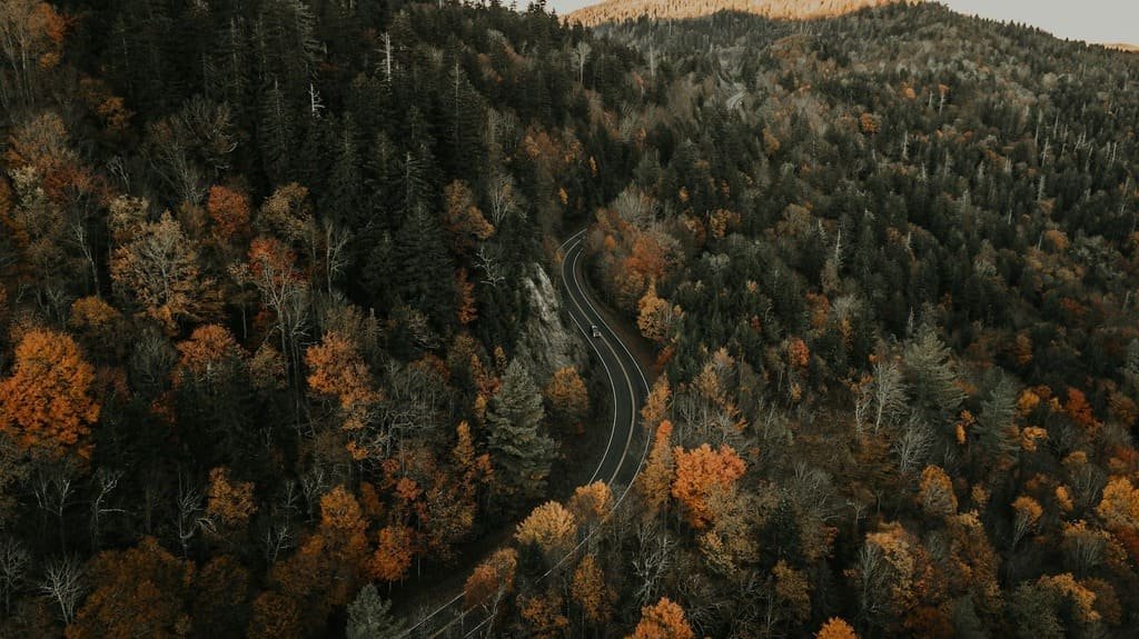
The Blue Ridge Parkway runs 469 miles through Virginia and North Carolina, connecting Shenandoah National Park to the Great Smoky Mountains.
It has no billboards, no commercial traffic, and a speed limit that stays under 45 mph for nearly the entire road trip. The road was built in sections between 1935 and 1987, and it was designed purely for scenery rather than as a through route.
Overlooks appear every few miles, and most of the parkway’s best hikes start directly from small pull-offs rather than dedicated trailheads. Fall brings the heaviest traffic, when the ridgelines turn red and orange, but spring wildflowers and summer’s cooler mountain air make it worth driving any time of year.
Route Details: Blue Ridge Parkway Road Trip
Shenandoah to Peaks of Otter (85 miles)
The Blue Ridge Parkway road trip begins near Waynesboro, Virginia, at the southern end of Shenandoah National Park’s Skyline Drive. Early overlooks include Humpback Rocks, where a short, steep half-mile trail leads to a rock outcrop with panoramic views. Farther south, Peaks of Otter has a lodge, a lake loop trail, and a summit hike up Sharp Top that was historically done by mule before the modern trail was built.
Peaks of Otter to Roanoke (45 miles)
This stretch passes through Roanoke, the largest city directly on the parkway, where the Mill Mountain Star, a 100-foot neon star built in 1949, overlooks downtown. The parkway itself continues past Roanoke Mountain and several overlooks with views into the Roanoke Valley below.
Roanoke to Mabry Mill (75 miles)
Mabry Mill, one of the most photographed spots on the entire parkway, is a working water-powered gristmill built in the early 1900s. A short loop trail circles the mill and pond, and a restaurant on-site serves buckwheat pancakes made from grain the mill still grinds. This section also passes through rolling farmland and small mountain communities with a slower pace than the more mountainous stretches to come.
Mabry Mill to Blowing Rock (85 miles)
Crossing into North Carolina, the parkway climbs toward higher elevations near Blowing Rock, a small town known for its rock formation where wind currents supposedly blow light objects back upward. The Linn Cove Viaduct, a curved concrete bridge that wraps around Grandfather Mountain, was the final section of the parkway completed in 1987 and remains one of its most distinctive engineering features.
Blowing Rock to Asheville (85 miles)
This stretch includes some of the parkway’s highest elevations, with several overlooks above 5,000 feet. Mount Mitchell, the highest peak east of the Mississippi at 6,684 feet, is accessible via a short spur road off the parkway. Asheville itself sits just off the route and makes a natural overnight stop, with a walkable downtown and easy access back onto the parkway the next morning.
Asheville to Great Smoky Mountains (94 miles)
The final stretch climbs to the parkway’s highest point at Richland Balsam, just over 6,000 feet, before descending toward Cherokee, North Carolina, and the entrance to Great Smoky Mountains National Park. This section has some of the parkway’s most consistent high-elevation views, with long stretches of forest broken up by wide mountain overlooks.
Use the trip planner to build a day-by-day itinerary based on your available time and starting point.