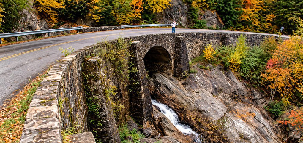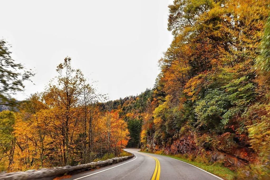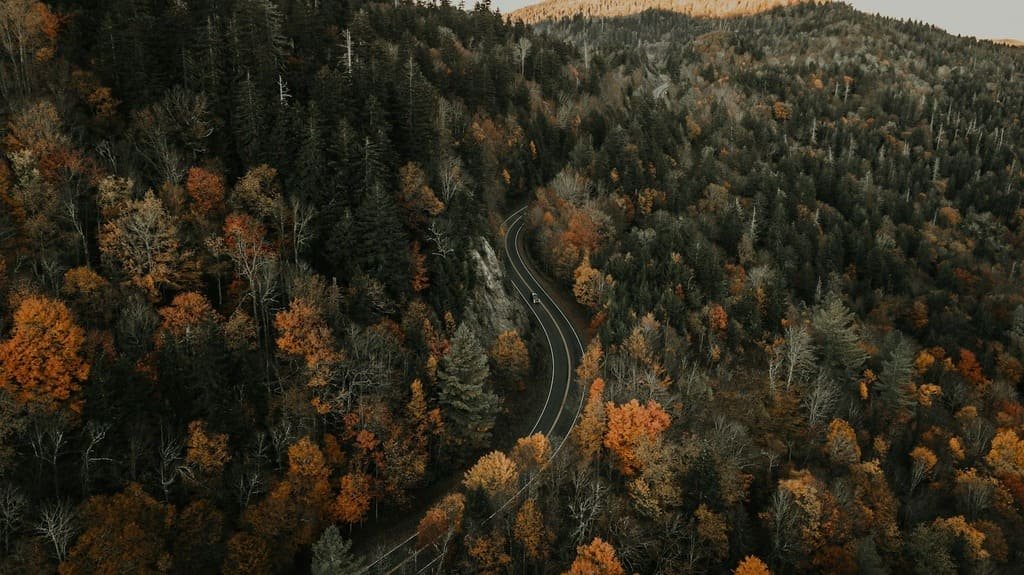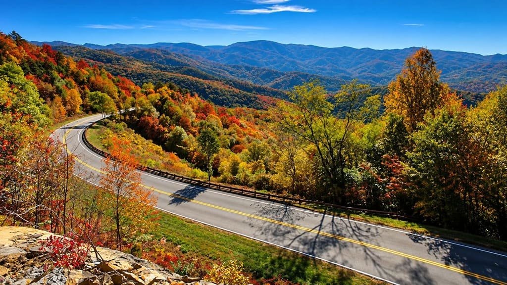
The Cherohala Skyway exists because of a joke. In 1958, a member of the Tellico Plains Kiwanis Club joked about the only roads connecting Tennessee and North Carolina being old wagon trails, inspired by the TV show Wagon Train. The joke turned into an actual wagon train ride across the mountains six weeks later, and that ride turned into a decades-long push for a real highway.
Congress funded the route in 1962. It took until 1996 to finish, at a cost of about $100 million, making it the most expensive road North Carolina had built at the time.
What resulted is 43 miles of mountain highway with almost no commercial development, climbing from under 900 feet at Tellico Plains to over 5,400 feet at the Tennessee-North Carolina line. The name comes from the two national forests it crosses — Cherokee in Tennessee, Nantahala in North Carolina.
It’s often driven alongside the nearby Tail of the Dragon and the Blue Ridge Parkway, but the Cherohala stands on its own: long sweeping curves, wide shoulders, and views that hold up against anything on the more famous parkway to the east.
Route Details: Cherohala Skyway
Tellico Plains (0 miles)
Cherohala Skyway starts in Tellico Plains, a small Tennessee town that’s the last stop for gas and food before the long climb into the mountains. The route follows Tennessee State Route 165 east out of town, tracing the Tellico River before starting to gain elevation in earnest.
Bald River Falls detour (5 miles)
A short detour on Forest Service Road 210 leads to Bald River Falls, a 90-foot waterfall visible right from the road. It’s one of the most photographed spots connected to the Skyway and adds only a few minutes to the drive.
Indian Boundary Lake (14 miles)
Forest Service Road access near mile 14 leads to Indian Boundary, a recreation area built around a small lake with a campground and swimming beach. It’s a popular stop for families looking to break up the drive with something other than a scenic overlook.
Tennessee-North Carolina state line at Stratton Gap (23.8 miles)
At Stratton Gap, Tennessee’s SR 165 becomes North Carolina’s NC 143, and the road crosses near Haw Knob, the skyway’s high point at just over 5,400 feet. This stretch through the high country is where the road earns comparisons to the Blue Ridge Parkway, with long views over unbroken forest and almost no sign of development in any direction.
Hooper Bald and the high peaks (30 miles)
The North Carolina side climbs over four peaks above 5,000 feet, including Hooper Bald, once the site of a private hunting reserve established in 1908 by an English manufacturing company. The overlooks along this stretch are spaced frequently enough to make regular stops easy without adding much time to the trip.
Santeetlah Gap and the descent to Robbinsville (40 miles)
The road descends through Santeetlah Gap toward Robbinsville, dropping from the high mountain grades to the town at the skyway’s eastern end. Lake Santeetlah sits just south of the highway’s terminus, a reservoir popular for fishing and boating.
Robbinsville (43 miles)
Robbinsville marks the Skyway’s end and the return to services after 43 miles with almost none. It’s also the natural jumping-off point for continuing to the Tail of the Dragon at nearby Deals Gap or into the Great Smoky Mountains.
Use the trip planner to build a day-by-day itinerary based on your available time and starting point.