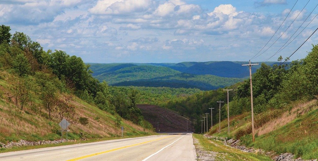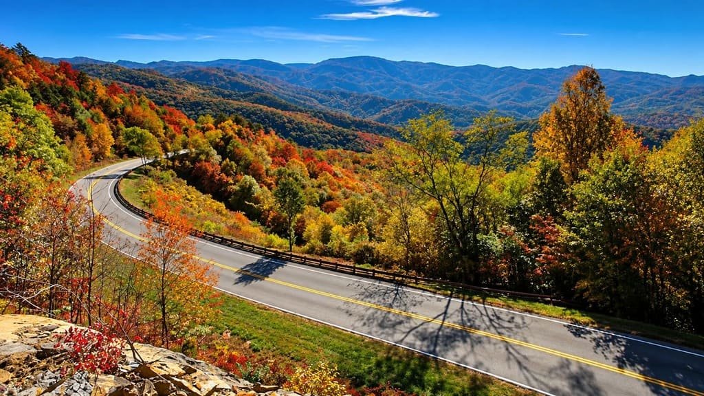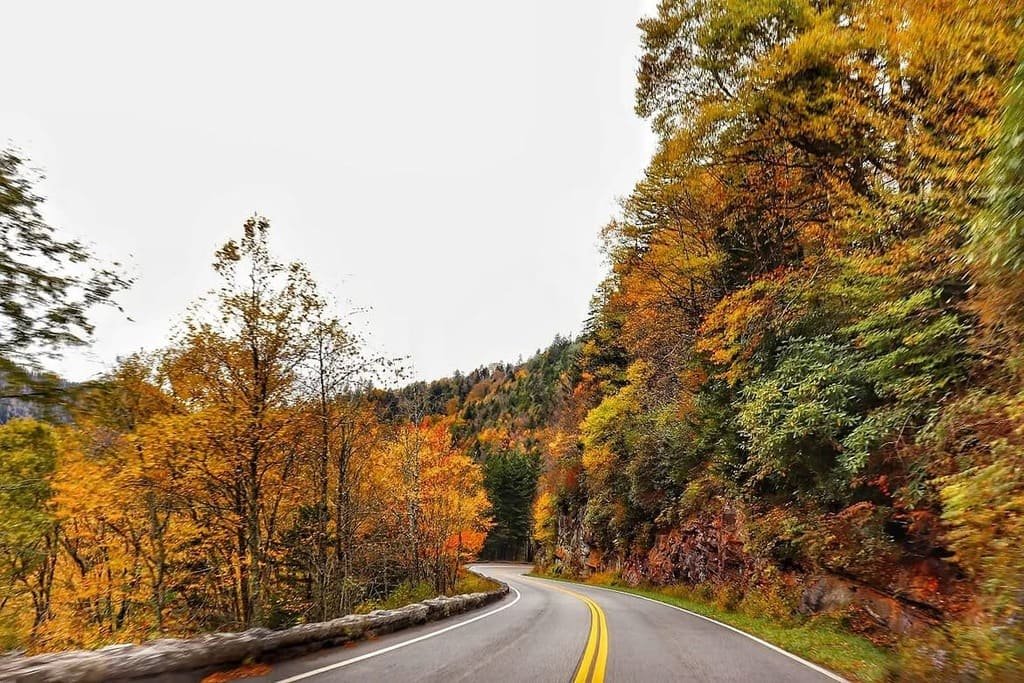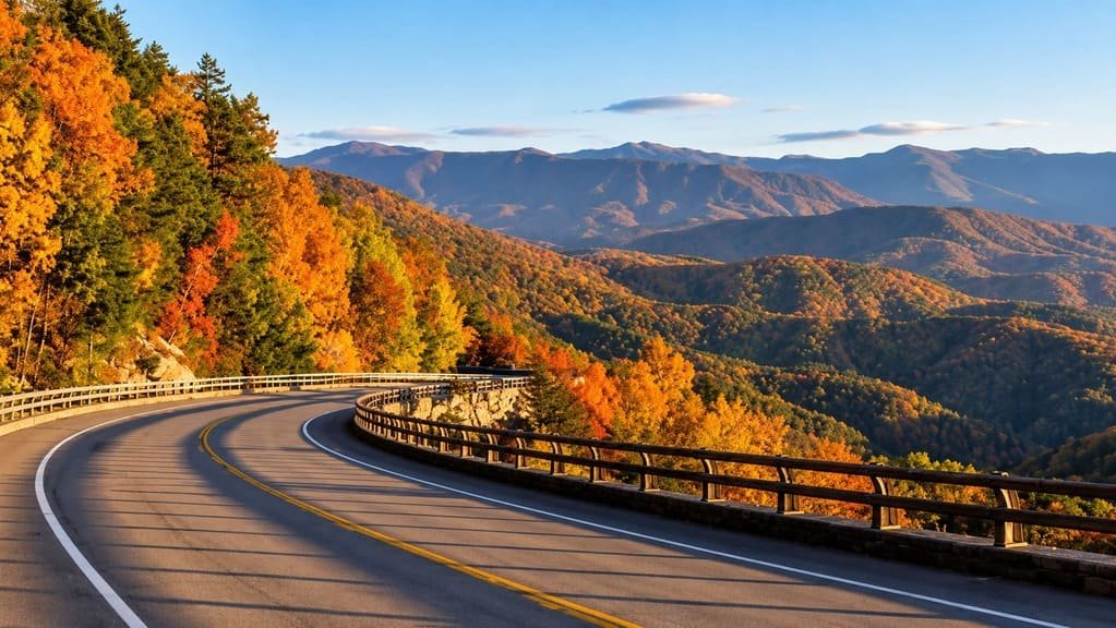
The East Tennessee Crossing Byway runs 83 miles along US 25E and State Route 32, from the Cumberland Gap south to Newport, tracing a corridor people have used for a very long time before it carried a highway number.
The road follows the old Cherokee Warriors’ Path, a trail originally cut by bison and used by Native American tribes for travel, trade, and conflict. Daniel Boone’s Wilderness Road later crossed the same ground on its way through Clinch Mountain and the Cumberland Gap, and the section between the Gap and Morristown became part of the Dixie Highway in the early 20th century, one of the country’s first organized auto routes.
Established as a National Scenic Byway in 2009, the route connects Cumberland Gap National Historical Park at its northern end with the approach to the Great Smoky Mountains at its southern end, crossing Claiborne, Grainger, Hamblen, Jefferson, and Cocke counties along the way.
It’s a shorter, history-dense drive rather than a dramatic mountain road, built more around what happened along this corridor than the scenery itself, though the Clinch Mountain crossing and the approach to the Gap both deliver real views.
Route Details: East Tennessee Crossing Byway
Cumberland Gap and Harrogate (0 miles)
The byway begins at Cumberland Gap National Historical Park, where the famous mountain pass carried settlers west for generations. Just south, Harrogate is home to Lincoln Memorial University and the Abraham Lincoln Library and Museum, which holds one of the country’s most extensive Lincoln collections and reflects the region’s strong Union sympathies during the Civil War.
Tazewell (12 miles)
Tazewell is a small Claiborne County town that once resisted the arrival of the railroad in the 1880s, a decision that shaped its development differently from nearby towns that embraced rail access. It’s a quiet, low-key stop early in the drive.
Clinch Mountain crossing (25 miles)
South of Tazewell, the byway climbs over Clinch Mountain, one of the more scenic stretches of the drive and historically one of the harder obstacles for travelers following the Wilderness Road before modern paving.
Bean Station (35 miles)
Bean Station sits along the byway’s middle stretch, a former stagecoach stop on the old Wilderness Road that carried mail, freight, and passengers between Tennessee and Kentucky well into the 1830s.
Morristown (50 miles)
Morristown is the largest town on the byway and has the route’s best services, including strong EV fast-charging infrastructure. The Crockett Tavern Museum, built on the site of Davy Crockett’s boyhood home, covers frontier-era life in the region.
White Pine and Dandridge (60 miles)
White Pine split off from what was originally called Dandridge Crossing in the 1870s, and the two towns now sit close together along the byway. Dandridge, one of Tennessee’s oldest towns, has a historic downtown worth a short stop.
Newport (83 miles)
The byway ends in Newport, where US 25E meets the approach to the Great Smoky Mountains. It’s a natural jumping-off point for continuing into the Smokies or connecting to other East Tennessee byways for a longer regional trip.
Use the trip planner to build a day-by-day itinerary based on your available time and starting point.