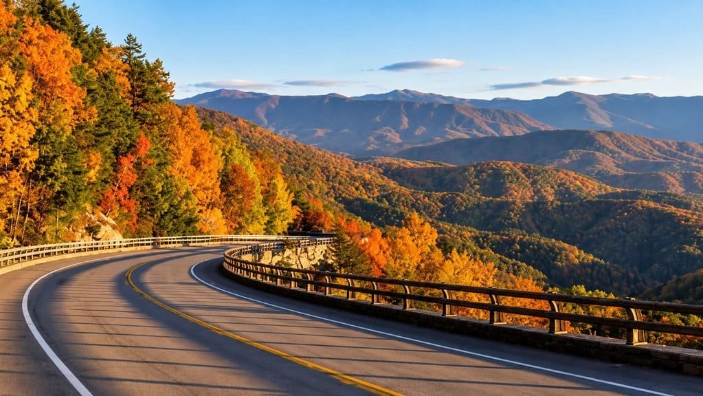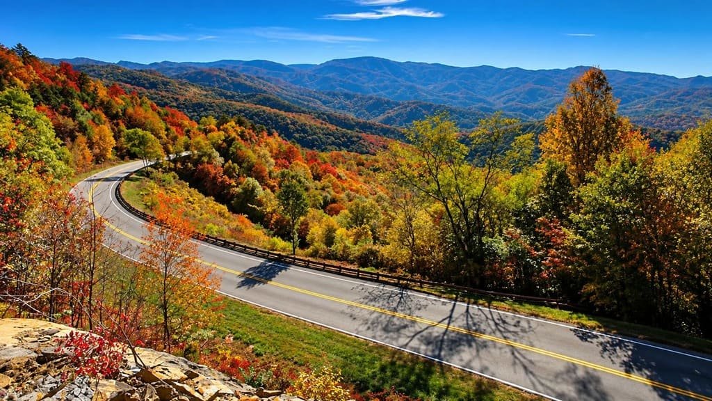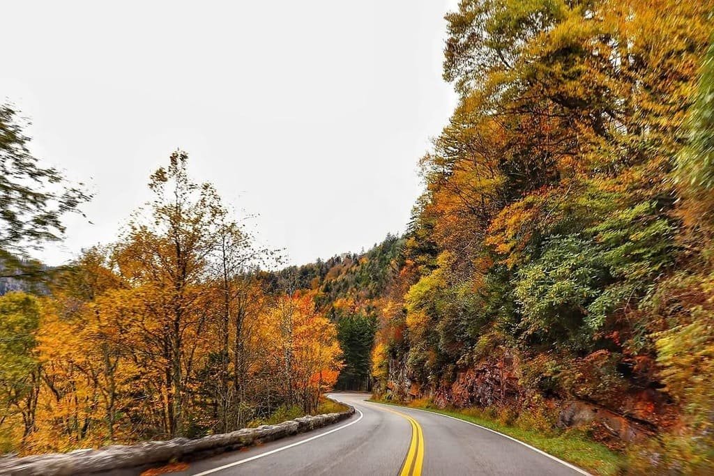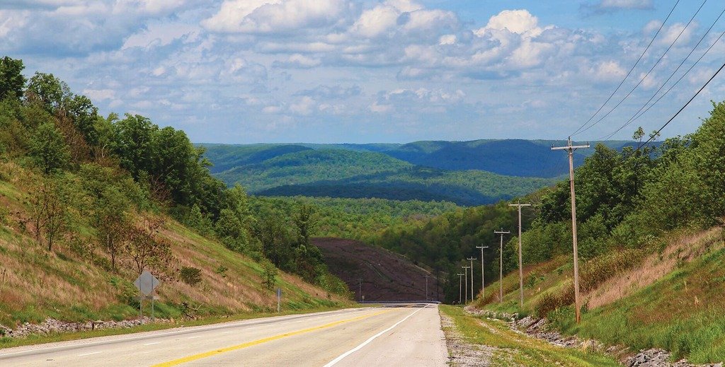
The Cumberland Historic Byway runs 156 miles across the Upper Cumberland Plateau, tracing a path used first by bison, then by Native American traders, then by settlers pushing west through the Cumberland Gap.
Regional leaders in eight counties began planning the byway in 2013, aiming to connect historic and recreational sites already scattered across the plateau into one coherent route. The Federal Highway Administration designated it a National Scenic Byway in January 2021, alongside two other Tennessee routes recognized the same year.
The drive links Claiborne, Campbell, Scott, Morgan, Fentress, Pickett, Overton, and Clay counties, touching 17 different communities along the way. It passes 38 farms that have stayed in the same family for more than a century, along with a utopian Victorian colony, a decorated war hero’s homestead, and rock formations with names like the Devil’s Racetrack.
It’s a longer, slower drive than its mileage suggests, thanks to the plateau’s constant curves, and it works well paired with the nearby East Tennessee Crossing byway at its eastern end for a longer regional trip.
Route Details: Cumberland Historic Byway
Cumberland Gap (0 miles)
The byway begins near the Cumberland Gap, where Cumberland Gap National Historical Park preserves the mountain pass that hundreds of thousands of settlers used to cross into Kentucky and Tennessee in the late 1700s and 1800s. It’s a fitting starting point for a route built around westward migration history.
LaFollette and Jacksboro (25 miles)
The byway continues through Powell Valley and Speedwell before reaching LaFollette and Jacksboro, small towns that make a reasonable first stop for fuel and food. From here, the road climbs onto the plateau proper.
Historic Rugby (55 miles)
Historic Rugby is the byway’s standout stop, a colony founded in 1880 by the English author Thomas Hughes as a utopian settlement for younger sons of English gentry who had no inheritance prospects at home. More than 20 original Victorian buildings survive, including a library with thousands of original volumes, and the site runs guided tours through several structures.
Big South Fork National River and Recreation Area (70 miles)
The byway passes near the Big South Fork National River and Recreation Area, an area the region markets as the Adventure Tourism Capital of Tennessee for its whitewater, hiking, and horseback riding. Scott County serves as the main gateway to the park from the byway.
Jamestown and Pickett State Park (90 miles)
Jamestown is the Fentress County seat and one of the larger towns on the byway. Nearby Pickett State Park has a small lake, sandstone bluffs, and hiking trails, and the town is a good stop for charging what limited EV infrastructure exists along the route.
Sgt. Alvin C. York State Historic Park (100 miles)
In Pall Mall, the byway passes the farm of Sergeant Alvin C. York, the most decorated American soldier of World War I. The state historic park preserves his farmhouse, a working gristmill, and the family cemetery, with exhibits on his wartime service and postwar life.
Standing Stone State Park (120 miles)
Standing Stone State Park sits along the byway’s western stretch, built around a small lake with fishing, camping, and hiking. It’s one of several rustic state parks the route was designed to connect.
Cordell Hull Birthplace State Park (135 miles)
Near Byrdstown, Cordell Hull Birthplace State Park preserves the log cabin birthplace of the longest-serving U.S. Secretary of State and the 1945 Nobel Peace Prize winner for his role in founding the United Nations. Dale Hollow Lake, a large reservoir popular for boating and fishing, borders this stretch of the drive.
Celina (156 miles)
The byway ends in Celina, an old steamboat town at the confluence of the Obey and Cumberland Rivers, once a transportation hub for the entire Upper Cumberland Plateau. It’s a quiet, fitting close to a drive built around the region’s frontier and settlement history.
Use the trip planner to build a day-by-day itinerary based on your available time and starting point.