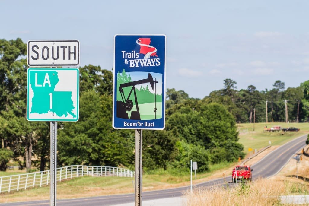
The Creole Nature Trail loops 180 miles through the marshes and prairies of southwest Louisiana, earning the nickname Louisiana’s Outback for terrain that stays largely undeveloped even this close to the Gulf.
The idea started with a simple pitch to the Greater Lake Charles Chamber of Commerce: give travelers a reason to leave the interstate. The Louisiana Legislature made it official in the 1970s, and the route grew from its original 117 miles through several rounds of expansion and designation, reaching All-American Road status in 2002, the highest level in the national byway program.
What the drive protects is four wildlife refuges holding one of the highest concentrations of alligators, wading birds, and migratory waterfowl in the country. The Mississippi Flyway funnels birds through this stretch of coast every spring and fall, and the marsh habitat supports species that are hard to see almost anywhere else in the state.
It’s a loop rather than a point-to-point drive, built around Cameron Parish’s wetlands, prairies, and a stretch of open Gulf beach that feels far removed from the rest of coastal Louisiana.
Route Details: Creole Nature Trail
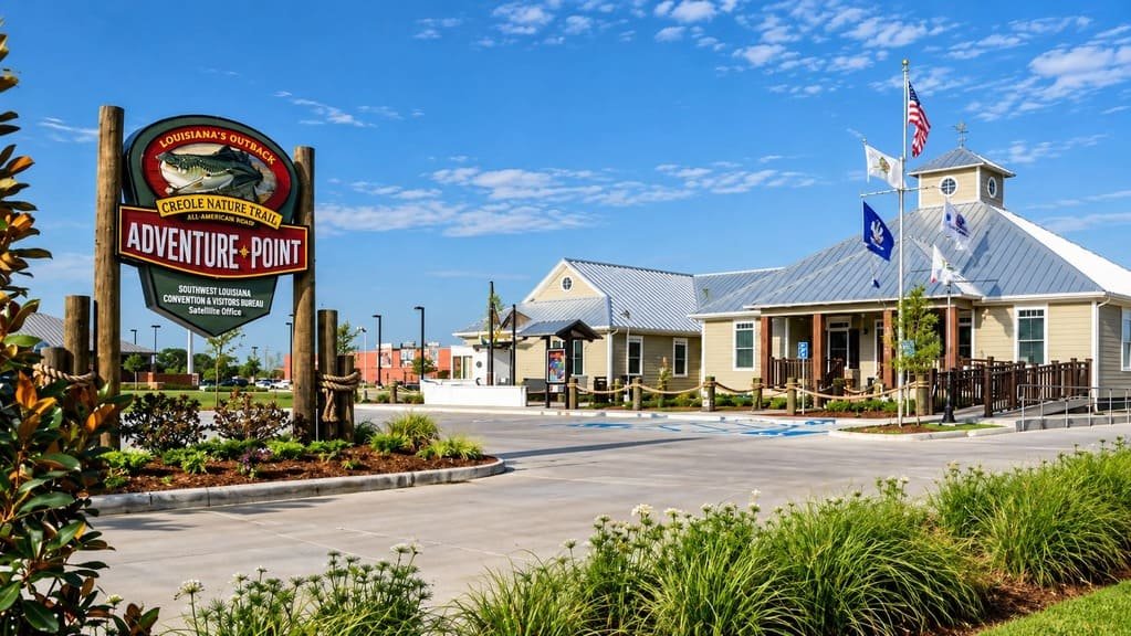
Sulphur and the Adventure Point (0 miles)
The trail’s official starting point is the Creole Nature Trail Adventure Point in Sulphur, a free visitor center with exhibits on the region’s wildlife and Cajun and Creole culture. It’s the natural place to orient a first-time visit before heading south on Highway 27.
Sabine National Wildlife Refuge (20 miles)
South of Sulphur, the trail reaches the Sabine National Wildlife Refuge, covering 125,000 acres and serving as a major wintering ground for waterfowl in the Mississippi Flyway. The Wetland Walkway here lets visitors walk directly out onto the marsh on a boardwalk, with alligators and wading birds visible at close range.
Hackberry (30 miles)
Hackberry is a small fishing village sitting between Black Lake and Calcasieu Lake, on the outer edge of the Sabine refuge. It’s one of the few towns along this stretch with services, and a reasonable stop before continuing into the more remote southern section of the trail.
Holly Beach (55 miles)
Holly Beach is the trail’s coastal high point, a quiet stretch of Gulf sand often called the Cajun Riviera. It draws far fewer crowds than Florida or Alabama beaches, and it’s one of the only public beach access points along this part of the Louisiana coast.
Cameron and the Calcasieu Ship Channel (65 miles)
Cameron sits near where the trail crosses the Calcasieu Ship Channel, a working waterway for oil and gas traffic that’s a reminder of the region’s other major industry alongside tourism and wildlife. The town is small and services are limited.
Rockefeller Wildlife Refuge (85 miles)
Rockefeller Wildlife Refuge is one of the most biologically diverse wildlife areas in the country and has one of the highest alligator nesting densities in the nation. The Price Lake Nature Drive, open March through December, is the best way to spot alligators from the car.
Cameron Prairie National Wildlife Refuge and Pintail Wildlife Drive (110 miles)
Heading back north, the trail passes through Cameron Prairie National Wildlife Refuge, where the three-mile Pintail Wildlife Drive loops past marsh habitat with elevated boardwalks for viewing otters, alligators, and wading birds. The refuge’s visitor center has interactive exhibits that work well for families.
Lacassine National Wildlife Refuge (140 miles)
On the trail’s eastern leg, Lacassine National Wildlife Refuge centers on the Lacassine Pool, a 16,000-acre impoundment known for bass fishing and as one of Louisiana’s few roseate spoonbill nesting rookeries. A three-mile wildlife drive circles the impoundment’s perimeter.
Lake Charles (180 miles)
The trail loops back to Lake Charles, the largest city on the route, with a walkable downtown, casinos, and the Historic City Hall Arts and Cultural Center. It’s the natural place to end the drive with a full meal and a hotel after a day spent in the marsh.
Use the trip planner to build a day-by-day itinerary based on your available time and starting point.