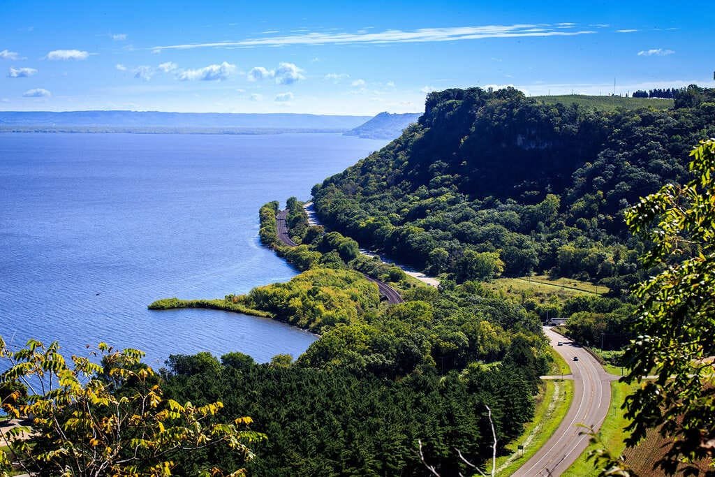
The Great River Road follows the Mississippi River for about 2,069 miles, from its headwaters in northern Minnesota to New Orleans, where it empties into the Gulf.
Unlike a single highway, the Great River Road route is a designated network of state and county roads on both banks, marked by a green pilot’s wheel road sign. This means driving the full length requires some route planning and occasional bridge crossings to switch sides of the river.
The drive passes through 10 states and a wide range of landscapes, from forested lake country in Minnesota to the flat farmland of the Midwest to the Delta region’s blues heritage sites. Most people spend 10 to 14 days covering the full length, though shorter sections, like the stretch through Iowa and Illinois or the Delta between Memphis and Vicksburg, work well as standalone trips.
Fall brings good foliage in the northern half, while spring offers milder weather for the southern stretch through Mississippi and Louisiana.
Route Details: Great River Road Trip
Itasca State Park to La Crosse (330 miles)
The route begins at Itasca State Park, where the Mississippi River starts as a narrow stream you can walk across on stepping stones. Heading south, the road passes through Minneapolis-St. Paul before following the river into Wisconsin, reaching La Crosse, a college town set between the river and a series of bluffs offering wide valley views.
La Crosse to Dubuque (150 miles)
This stretch follows the river through a series of small towns built into the bluffs along the Iowa-Wisconsin border. Dubuque, Iowa, has a historic downtown and the Fenelon Place Elevator, the world’s shortest and steepest scenic railway, built in 1882 to connect the bluff-top neighborhoods to downtown.
Dubuque to St. Louis (300 miles)
The route passes through the Quad Cities before reaching Nauvoo, Illinois, once a significant Mormon settlement in the 1840s with several restored historic buildings open to visitors. Continuing south, the road reaches St. Louis, where the Gateway Arch sits directly on the riverfront.
St. Louis to Memphis (300 miles)
This stretch runs through southern Missouri and into the Missouri Bootheel before reaching Memphis, Tennessee. Memphis is a natural stop for its blues heritage, centered on Beale Street, and the National Civil Rights Museum, built around the former Lorraine Motel.
Memphis to Vicksburg (230 miles)
The Mississippi Delta stretch passes through Clarksdale, considered the birthplace of the blues and home to the Delta Blues Museum, before continuing south to Vicksburg. Vicksburg National Military Park preserves the site of the 1863 siege, with a 16-mile driving tour through the battlefield and its hundreds of monuments.
Vicksburg to Natchez (100 miles)
This shorter stretch follows the river through rural Mississippi to Natchez, one of the oldest settlements on the river, with a collection of antebellum mansions open for tours. The town sits on a bluff above the river, with a walkable historic district near the waterfront.
Natchez to New Orleans (170 miles)
The final stretch runs through Louisiana’s River Road, passing several preserved plantation homes before reaching Baton Rouge and continuing on to New Orleans. The route ends in the French Quarter, where the river curves past the city’s historic core, marking the end of the drive and the river’s final stretch to the Gulf.
Use the trip planner to build a day-by-day itinerary based on your available time and starting point.