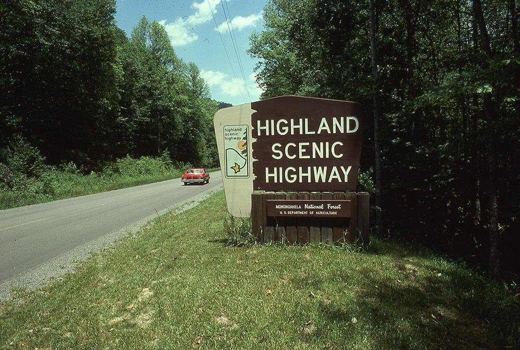
The Highland Scenic Highway runs 43 miles through the Monongahela National Forest, from the old logging town of Richwood to US Route 219 just north of Marlinton, along what’s officially the highest major roadway in West Virginia.
Construction on the Route 150 Parkway section began in 1965 at the Cranberry Mountain Visitor Center and wasn’t finished until 1981, built specifically as a scenic road rather than a practical connector. The Federal Highway Administration designated the completed route a National Scenic Byway in 1996. Planners originally envisioned extending it much farther, to US 250 and even US 50, but those extensions were never built.
Highland Scenic Highway climbs from Richwood’s 2,325 feet to over 4,500 feet along the Allegheny Plateau, with more than 60 percent of the route above 4,000 feet. Four developed overlooks along the way give views across the Allegheny Highlands that are hard to match anywhere else in the state.
It’s a short drive by national byway standards, but one with real elevation drama packed into its length, plus a handful of genuinely unusual stops, from a rare high-mountain bog to a World War II prison camp site.
Route Details: Highland Scenic Highway
Richwood (0 miles)
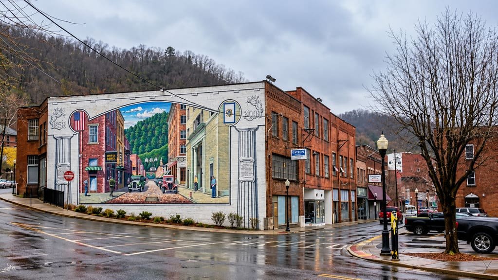
The byway begins in Richwood, a former logging town in Nicholas County with a small downtown and the Gauley Ranger Station, a good first stop for maps and current road conditions before heading into the forest.
North Fork Cherry River (10 miles)
The first stretch of the highway follows State Route 39 along the North Fork of the Cherry River, climbing steadily toward Kennison Mountain. This section gives an early sense of the elevation change that defines the rest of the drive.
Falls of Hills Creek (18 miles)
A short detour leads to the Falls of Hills Creek, a series of three waterfalls reached by a boardwalk and stairway trail. It’s one of the most popular stops on the byway and an easy add-on without much extra driving.
Cranberry Mountain Visitor Center and Cranberry Glades (21 miles)
At the Cranberry Mountain Visitor Center, the byway leaves Route 39 and picks up Route 150, the dedicated Parkway section built specifically for scenic driving. Nearby, the Cranberry Glades Botanical Area preserves a rare high-elevation bog ecosystem with plant life more typical of Canada than Appalachia, reachable by a boardwalk trail.
Black Mountain overlooks (30 miles)
The Route 150 Parkway climbs along the top of Black Mountain, passing several of the highway’s four developed scenic overlooks. These pull-offs give some of the widest views in the state across the forested Allegheny Highlands.
Williams River crossing (35 miles)
The highway descends to cross the Williams River before climbing back up toward Tea Creek and Red Lick mountains. This dip and climb is one of the more dramatic elevation changes on the drive.
Mill Point Prison Camp site (38 miles)
Near Cranberry Glades, the byway passes the site of the World War II-era Mill Point Prison Camp, which housed federal prisoners including conscientious objectors and moonshiners. It’s a lesser-known but notable piece of history along the route.
US Route 219 junction (43 miles)
The byway ends at its junction with US 219, about seven miles north of Marlinton. From here, travelers can continue south into Marlinton, or connect toward Snowshoe Mountain and Elkins for a longer West Virginia mountain trip.
Use the trip planner to build a day-by-day itinerary based on your available time and starting point.