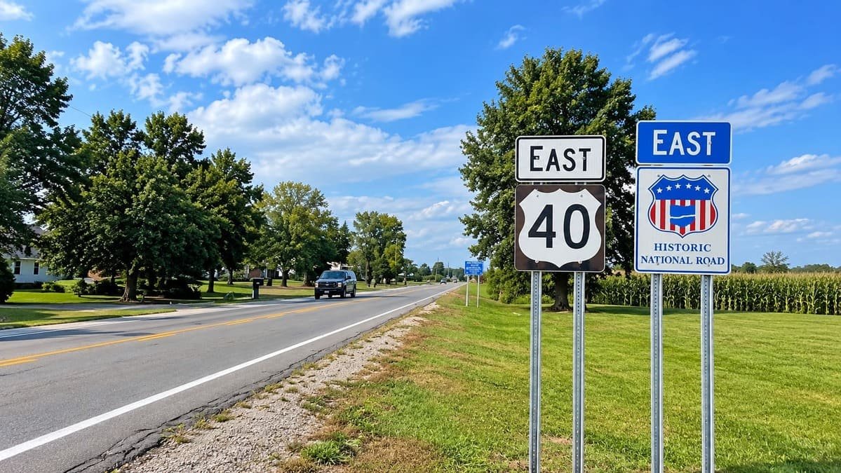
The Historic National Road was the first highway built with federal money. Congress approved it in 1806, and President Thomas Jefferson signed the bill.
Work began at Cumberland, Maryland and pushed west toward the Ohio River and beyond, opening the interior to settlers and freight wagons. People later called it the Road That Built the Nation and Main Street of America.
Railroads took most of its traffic by the 1870s, but the road returned with the automobile. US 40 now follows much of it, and the old stone bridges, tollhouses, and inns are still scattered along the way.
Route Details: Historic National Road
Mile markers below are my estimates of distance from Baltimore.
Baltimore and Ellicott City (0-12 miles)
The Maryland byway starts in Baltimore and heads west on US 40. Ellicott City, a hillside mill town, is the first stop worth making, and its station is a reminder that the road and the early B&O Railroad grew up together.
Frederick and the Old Wilson Bridge (50-85 miles)
Frederick has a walkable historic downtown on the old road. Farther west near Clear Spring, the 1819 Old Wilson Bridge is a stone arch that carried National Road traffic over Conococheague Creek.
Cumberland (140 miles)
Cumberland is the original eastern terminus. A monument at Riverside Park marks Mile Marker 0, and the same spot is the start of the Great Allegheny Passage bike trail to Pittsburgh. The LaVale Toll Gate House and the Western Maryland Scenic Railroad are both nearby.
Grantsville (170 miles)
Maryland’s section ends at Grantsville. The Casselman River Bridge, built in 1813, was the longest single-span stone arch in the country when it opened, and it is now preserved in a small state park.
Fort Necessity and Braddock Road (185 miles)
In Pennsylvania, the road passes Fort Necessity National Battlefield. The Mount Washington Tavern there was a stagecoach stop on the National Road, so the park covers both the French and Indian War and the pike that followed.
Brownsville and the S Bridges (215-250 miles)
Brownsville has Dunlap’s Creek Bridge, built in 1839 as the first cast iron bridge in the country. Farther west in Washington County, the S-shaped stone bridges and the Century Inn, a tavern dating to 1794, show how travelers lived on the pike.
Wheeling (300 miles)
The road reaches the Ohio River at Wheeling, West Virginia, and crosses on the 1849 Wheeling Suspension Bridge, which was the longest suspension span in the world when it opened.
Zanesville and Norwich (380-400 miles)
In Ohio, Zanesville has a Y-shaped bridge over the Muskingum and Licking Rivers. The National Road and Zane Grey Museum in Norwich covers the road’s history and the Ohio author.
Springfield (480 miles)
Springfield has the Pennsylvania House, a stagecoach inn from the pike era, and the Westcott House, a Frank Lloyd Wright design from 1908. It is a good overnight stop in Ohio.
Richmond and Cambridge City (530-555 miles)
Indiana’s stretch has a long run of antique shops through Centerville. Richmond has the Starr-Gennett recording studio, and Cambridge City has the Huddleston Farmhouse Inn Museum, an 1841 inn on the road.
Indianapolis and Terre Haute (590-680 miles)
The road runs through downtown Indianapolis on Washington Street, past the Statehouse. Terre Haute has the Eugene V. Debs Home before the road crosses the Wabash into Illinois.
Vandalia (740 miles)
Vandalia was the original western end of the National Road and an early Illinois capital. The National Road Interpretive Center covers the road, and the state house is tied to Lincoln’s early political career.
Collinsville and East St. Louis (800 miles)
Illinois has its own roadside oddities, including the world’s largest catsup bottle in Collinsville. The byway ends at East St. Louis on the Mississippi River, and Cahokia Mounds is a few minutes away.
Use the trip planner to build a day-by-day itinerary based on your available time and starting point.