
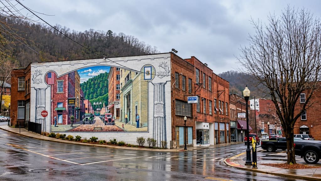
The Coal Heritage Trail runs about 97.6 miles through southern West Virginia, tracing US 52 and WV 16 from Bluefield north to Beckley through the heart of what was once called the smokeless coalfields.
This is a byway built around industrial history rather than scenery. It became a National Scenic Byway in 1998, recognized specifically for its cultural and historic value, and it sits inside the larger National Coal Heritage Area, one of 49 such federally designated heritage regions in the country.
The road passes coal company towns, tipples, and railroad structures that once defined daily life for thousands of miners and their families, many of them immigrants recruited from across the world to work the region’s high-grade, low-sulfur coal seams. Some towns along the route show that history intact; others show what happens to a company town after the company leaves.
It’s a drive that rewards stopping and reading historical markers as much as it rewards looking at the road ahead, and it pairs a working coal mine tour with a look at the working-class culture that grew up around the industry.
Route Details: Coal Heritage Trail
Bluefield (0 miles)
The byway begins in Bluefield, right at the West Virginia-Virginia state line, historically a rail and coal shipping hub. The town’s downtown still carries early-20th-century commercial architecture built on coal wealth, a preview of the company-town history the rest of the drive covers in more detail.
Coalfield towns along US 52 (20-45 miles)
Heading north on US 52, the byway passes a string of small former coal camps, each built by a mining company to house its workforce. Many still have their original company stores, churches, and rows of near-identical miners’ houses, physical remnants of a company-town system that controlled nearly every part of daily life in these communities.
Welch and McDowell County (35 miles)
Welch, the McDowell County seat, was once one of the wealthiest small cities per capita in the country during the coal boom, with elaborate early-20th-century architecture that stands in contrast to the smaller camps surrounding it. The county’s coal history is layered with a story of significant racial and ethnic diversity, since mining companies recruited labor from across the world, along with Black workers from the South.
Transition to WV 16 (55 miles)
North of the McDowell County coalfields, the byway shifts from US 52 onto WV 16, curving north through Wyoming and Raleigh counties toward Beckley. This stretch has fewer dense town clusters and more open mountain terrain between former mining communities.
Crab Orchard (90 miles)
Crab Orchard, just south of Beckley, marks one entry point into the byway’s northern end and sits close to the Beckley Exhibition Coal Mine, the drive’s signature stop.
Beckley Exhibition Coal Mine (95 miles)
The Beckley Exhibition Coal Mine gives visitors an actual underground tour through a real former mine, typically led by retired coal miners who worked the seams themselves. It’s the trail’s most direct way to experience what the rest of the drive describes secondhand, and it’s worth planning extra time around.
Beckley (97.6 miles)
The byway ends in Beckley, the largest city along the route and home to Tamarack, a large West Virginia crafts and cuisine market that makes a good final stop for regional food and handmade goods before leaving the coalfields behind.
Use the trip planner to build a day-by-day itinerary based on your available time and starting point.