The Lincoln Highway was America’s first successful coast-to-coast road, planned in 1913 by a group of Midwestern boosters who wanted a route from New York to San Francisco. The Illinois section runs 179 miles, from Lynwood on the Indiana line to Fulton on the Mississippi River.
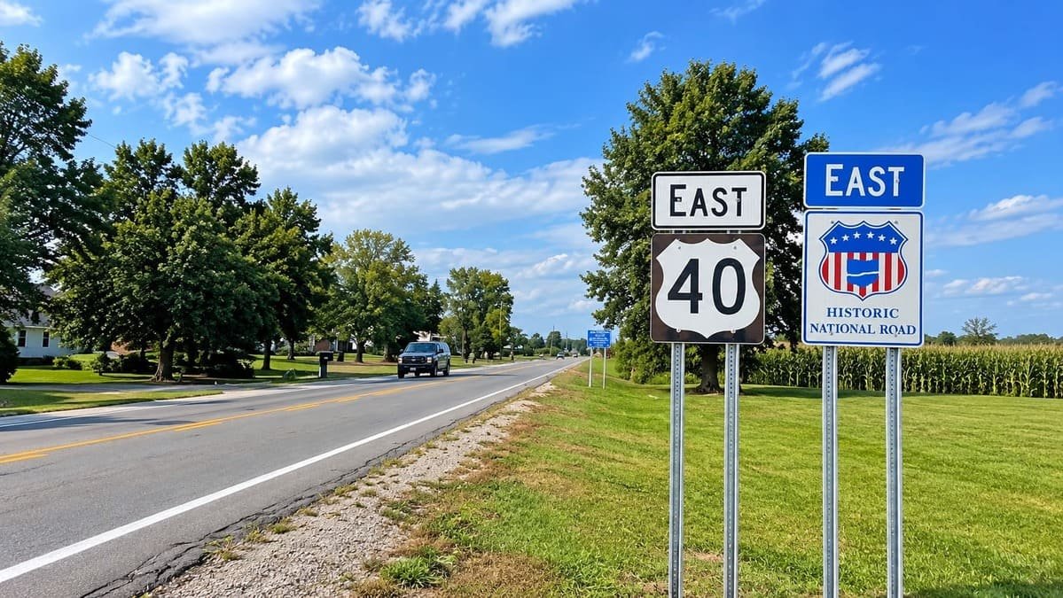
It follows US 30 for much of its length, with sections on IL 38 and IL 2. The original route once went into Chicago, but the road that remained is US 30.
Today I-80 and I-88 take most of the traffic, and the old road passes through Joliet, DeKalb, Rochelle, Dixon, and Sterling. Murals and gazebos along the way explain how drivers crossed the state a century ago.
Route Details: Lincoln Highway (Illinois)
Mile markers below are my estimates of distance from the Indiana line.
Lynwood and Chicago Heights (0-12 miles)
The byway starts on US 30 at the Indiana line in Lynwood. It follows East Sauk Trail through Sauk Village, then joins IL 1 and US 30 in Chicago Heights. The suburbs here are the most built-up part of the drive.
Park Forest and Matteson (20 miles)
US 30 runs west through Olympia Fields, Park Forest, and Matteson toward the Will County line. Public charging is easy to find through this stretch.
Joliet (50 miles)
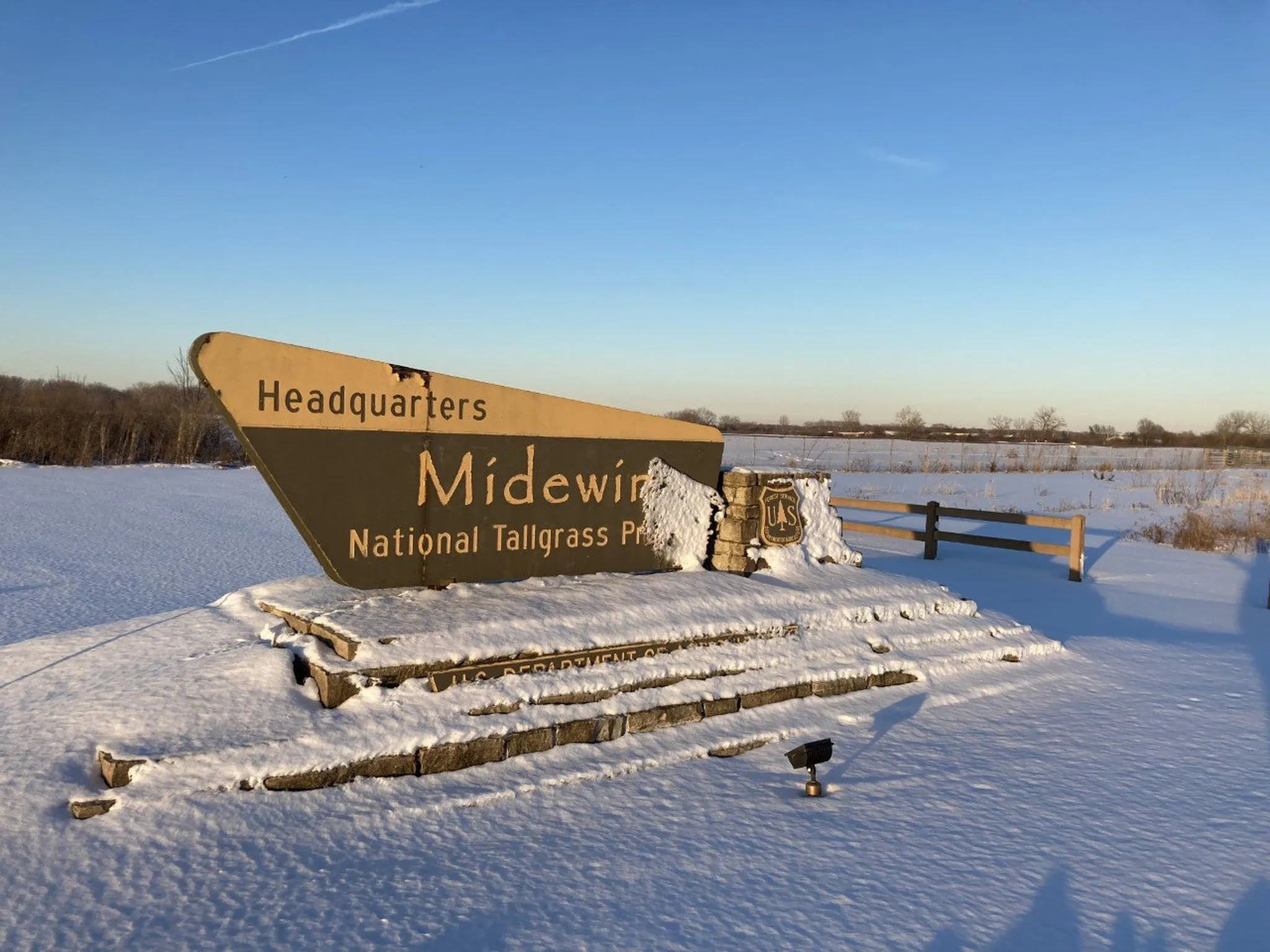
Joliet is the biggest city on the byway. US 30 changes direction in town, and one-way streets mean the signed route shifts between several roads. Midewin National Tallgrass Prairie is a short drive from here.
Plainfield and Aurora (60-70 miles)
The route passes through New Lenox and Plainfield, then heads west toward the Fox River Valley. Aurora has a Tesla Supercharger.
Geneva (80 miles)
In Geneva the highway follows IL 38, and the road runs through the historic downtown on the Fox River. From here to Rochelle, IL 38 is the main route.
DeKalb (105 miles)
IL 38 goes through Maple Park, Cortland, and DeKalb, the home of Northern Illinois University. The Illinois Tollway DeKalb oasis has charging.
Rochelle (125 miles)
Rochelle sits on IL 38 and has a Tesla Supercharger close to the old route. The railroad park downtown is a short walk away.
Franklin Grove (145 miles)
Franklin Grove has the Lincoln Highway Association’s national headquarters and museum, reformed in 1992. It is the best stop on the byway for the road’s history.
Dixon and Sterling (152-156 miles)
Dixon has Ronald Reagan’s boyhood home, and the highway then follows IL 2 through Sterling and Rock Falls. Sterling’s Menards was announced as a fast-charging site in 2026.
Morrison and Fulton (165-179 miles)
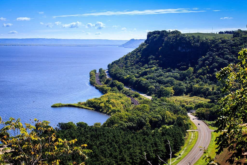
US 30 goes west through Morrison to Fulton, where IL 136 crosses the Mississippi on the Lyons-Fulton Bridge into Iowa. The byway ends at the river.
Use the trip planner to build a day-by-day itinerary based on your available time and starting point.