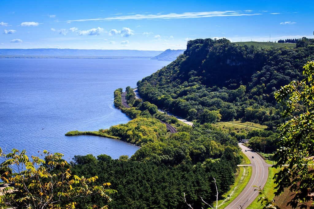
The Illinois River Road follows both banks of the Illinois River through central Illinois, from Ottawa in the north to Havana in the south. It links more than 100 nature-based sites across ten counties.
The byway became a National Scenic Byway in 2005. Its focus so far has been on nature, with Starved Rock State Park, wildlife refuges, and river bluffs at the center of most itineraries.
History fills in around the edges. Ottawa has Lincoln-Douglas debate history and the Illinois and Michigan Canal, and Peoria has a riverfront and the long bluff drive above it.
Route Details: Illinois River Road
Mile markers below are my estimates of distance along one bank from Ottawa.
Ottawa (0 miles)
Ottawa sits where the Fox River meets the Illinois, and it has more history than most small cities its size. Visitors come for the Lincoln-Douglas debate connection, the Ottawa Scouting Museum, the Illinois and Michigan Canal, and the Illinois Waterway Visitors Center. Ottawa has Universal EV chargers, including a site at Heritage Harbor.
Utica and Matthiessen State Park (6 miles)
Utica is a short drive west of Ottawa and has shopping and food. Matthiessen State Park is nearby, and local itineraries pair it with Utica for a first day.
Starved Rock State Park (8 miles)
Starved Rock has 13 miles of trails through 18 glacier-carved canyons. It’s the busiest stop on the byway, so try for a weekday. Starved Rock Lodge has a charger in its upper lot, and the Spirit of Peoria paddle wheeler runs two-day cruises between Peoria and the park from June through October.
Buffalo Rock State Park (West bank, 4 miles)
Buffalo Rock State Park is on the western route just west of Ottawa. It makes a good short stop if you are driving that bank.
River towns to Peoria (30-90 miles)
The eastern route passes through small towns including Granville and Hennepin as it follows the river south. Fuel and food are easy to find, but sights are spread out, so this stretch is mostly driving.
Peoria (100 miles)
Peoria is the largest city on the byway and where the two banks cross. Grandview Drive follows the bluff above the river. Wildlife Prairie State Park and the Peoria Zoo are good family stops. Peoria has an 8-stall Tesla Supercharger plus ChargePoint stations.
East Peoria Riverfront Greenway (106 miles)
The East Peoria Riverfront Greenway has wetland areas and links to the River Trail of Illinois, which runs from East Peoria to Morton. It is a good place to get out of the car for an hour.
Havana and Chautauqua National Wildlife Refuge (145 miles)
Havana is named for the Cuban capital and is the south end of the byway. It is known for agritourism, and Chautauqua National Wildlife Refuge nearby draws waterbirds, including pelicans.
Use the trip planner to build a day-by-day itinerary based on your available time and starting point.