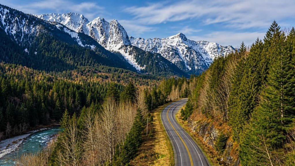
The Chinook Scenic Byway runs 92 miles along SR 410, from Enumclaw southeast of Seattle to Naches near Yakima, cutting straight through the Cascades along the northeast side of Mount Rainier National Park.
The road carries a second name, the Stephen Mather Memorial Parkway, honoring the National Park Service’s first director, and it climbs over two mountain passes — Cayuse and Chinook — reaching 5,430 feet at its highest point.
Mount Rainier itself, at 14,410 feet, has served as a spiritual center for local Native American culture for thousands of years, and the byway offers repeated views of the mountain as the road winds through the Mount Baker-Snoqualmie and Wenatchee national forests on either side of the park boundary.
Unlike routes that funnel traffic to Rainier’s popular Paradise or Sunrise entrances, this byway is built for through-driving — a way to cross the Cascades scenically rather than a destination drive to a single park entrance, though it has plenty of its own stops along the way.
Route Details: Chinook Scenic Byway
Enumclaw (0 miles)
The byway starts in Enumclaw, about 40 miles southeast of Seattle, where SR 410 heads east as the Mather Memorial Highway. This is the last town with full services before the drive moves into forest and mountain terrain.
Federation Forest State Park (18 miles)
Federation Forest State Park preserves a stand of old-growth forest along the White River, with an interpretive center and several miles of trail through cedar and fir that predate most logging in the region. It’s an easy stop for stretching the legs before the climb begins.
Greenwater (23 miles)
Greenwater, named for the river running past it, is the last small community before the byway enters the Mount Baker-Snoqualmie National Forest in earnest. Nearby is Ranger Creek State Airport, a small, seasonal airstrip that’s more a curiosity than a stop, but visible from the road.
Mount Rainier first views and the park boundary (28 miles)
The first clear views of Mount Rainier appear a few miles past Greenwater, before the byway crosses into Mount Rainier National Park itself. From here the road climbs steadily along the White River drainage toward the two mountain passes ahead.
Cayuse Pass and Chinook Pass (55 miles)
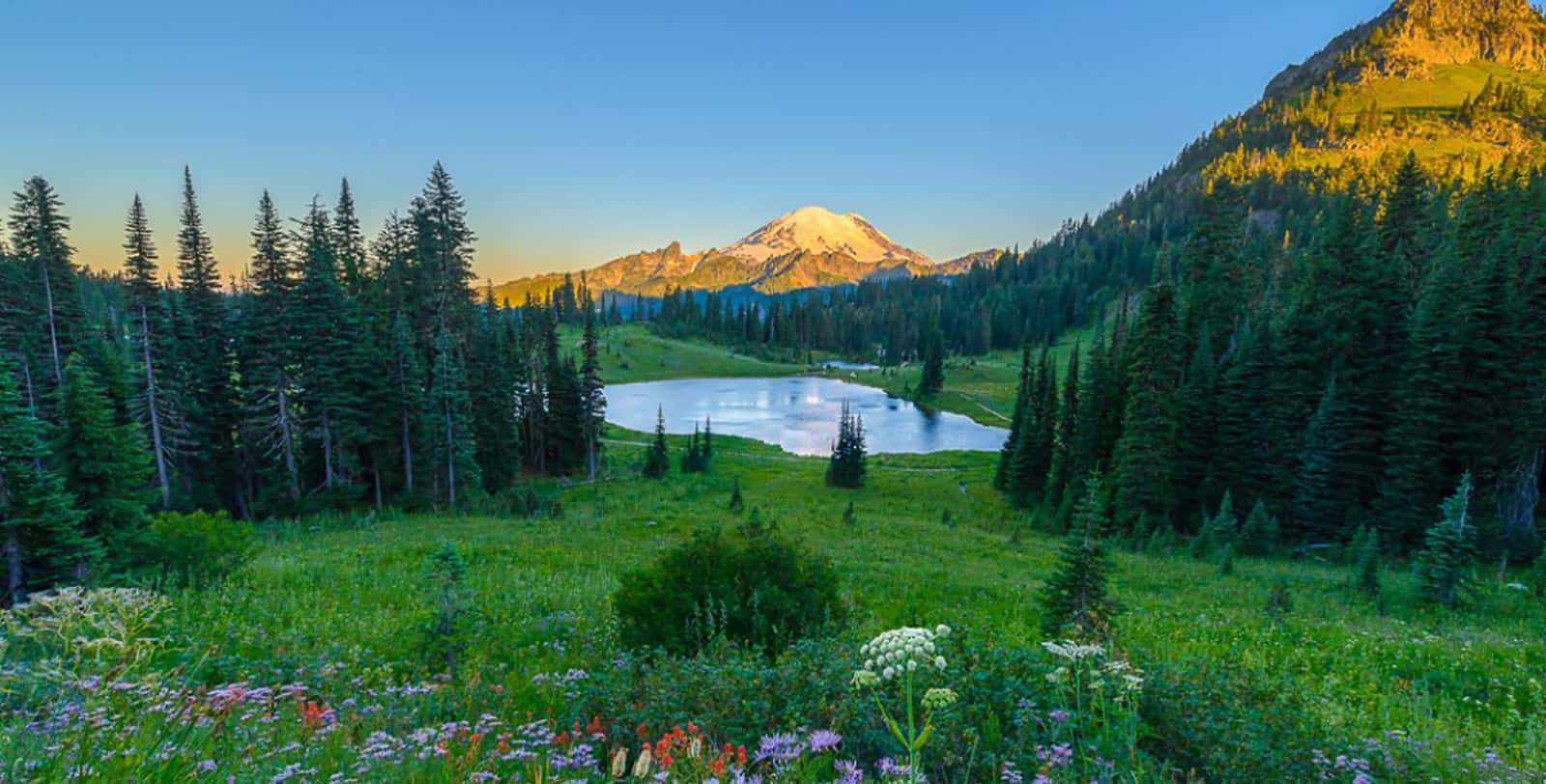
The byway crosses Cayuse Pass before climbing to Chinook Pass at 5,430 feet, the highest point on the drive and the boundary of Mount Rainier National Park. Tipsoo Lake sits right at the pass, a small alpine lake that reflects Mount Rainier on clear days and is one of the most photographed spots on the route. This stretch through the park has the highest concentration of wildlife sightings on the byway, out of the 63 mammal species and more than 160 bird species recorded in the area.
Cliffdell and the American River (75 miles)
East of the pass, the byway leaves the park and enters the Okanogan-Wenatchee National Forest, following the American River down through Cliffdell. The landscape changes noticeably here, from dense alpine forest to drier, more open terrain as the route descends the east side of the Cascades.
Naches (92 miles)
The byway ends in Naches, a small city west of Yakima, where SR 410 meets US 12. From here, travelers commonly continue into Yakima’s wine country or connect south toward White Pass for a longer Cascades loop.
Use the trip planner to build a day-by-day itinerary based on your available time and starting point.