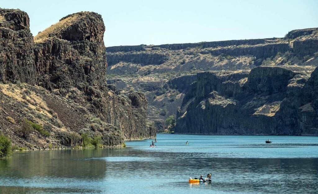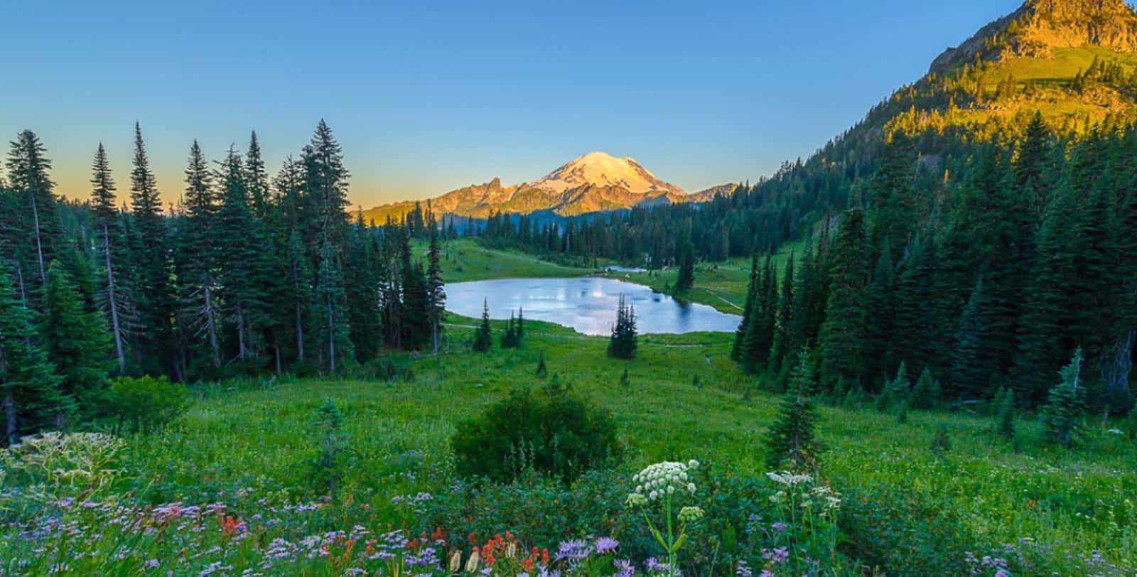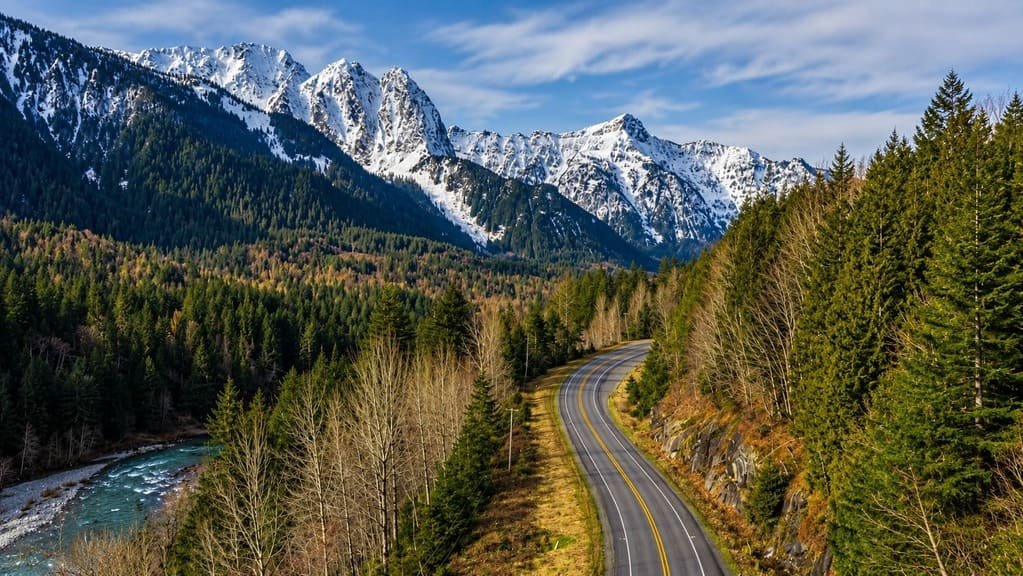
The Cascade Loop is less a single road than a circuit stitched together from three of Washington’s other named byways — the Stevens Pass Greenway, the North Cascades Highway, and the Whidbey Scenic Isle Way. Strung together, they form 440 miles that touch nearly every landscape the state has to offer.
The loop starts at Mukilteo, on the Puget Sound north of Seattle, and heads east over Stevens Pass into farm country, then north along the Columbia River to Lake Chelan. From there it climbs into the North Cascades on State Route 20, one of the most dramatic mountain highways in the country, before dropping back to sea level through the Skagit Valley’s tulip fields and crossing to Whidbey Island for the return to the mainland.
Each section could be its own road trip — Stevens Pass alone, or the North Cascades Highway alone, or Whidbey Island alone — and the Cascade Loop’s real appeal is doing them back to back, watching alpine forest give way to desert orchard country and then to island farmland inside a single week.
The North Cascades Highway segment is the loop’s bottleneck: it closes with the first heavy snow most years, typically in November, and doesn’t reopen until spring, which means the full loop is really a summer-and-fall trip.
Route Details: Cascade Loop
Mukilteo and Everett (0-25 miles)
Mukilteo, on the Puget Sound about 25 miles north of Seattle, is the loop’s traditional starting point. From here the route heads east on US 2 through Everett and into the Snohomish Valley, leaving the coast behind for the first of the loop’s four distinct landscapes.
Stevens Pass (65 miles)
US 2 climbs through the Snohomish Valley to Stevens Pass, a ski area in winter and a hiking and mountain biking destination in summer. The highway winds through dense evergreen forest typical of the western Cascades before dropping down the drier eastern slope toward Wenatchee.
Wenatchee and the Columbia River (110 miles)
Wenatchee sits where US 2 meets the Columbia River, in the heart of Washington’s apple-growing country. The valley here looks nothing like the coastal start of the trip — dry hills, orchard rows, and a much bigger sky. From Wenatchee, the route follows the Columbia north toward Lake Chelan.
Lake Chelan (145 miles)
Lake Chelan is a 55-mile-long glacial lake, one of the deepest in the country, and its upper reaches are accessible only by boat, floatplane, or trail. A passenger ferry runs from Chelan to Stehekin, a small community with no road access at all, tucked against the North Cascades. It’s a worthwhile detour that requires planning a full day around the boat schedule.
Methow Valley and Winthrop (185 miles)
State Route 153 carries the loop through the Methow Valley to Twisp, then Winthrop, a town that rebuilt its main street in an Old West storefront style in the 1970s and has kept it since. The Methow Valley is a hub for cross-country skiing in winter and mountain biking and fly fishing in summer.
North Cascades Highway (185-325 miles)
From Winthrop, State Route 20 climbs into North Cascades National Park, passing Washington Pass at 5,477 feet, the highest point on the loop, with views of Liberty Bell and Early Winters Spires framing the road. The highway continues past the turquoise waters of Diablo Lake and Ross Lake, both glacier-fed, in a stretch surrounded by more than 300 glaciers, more than any national park outside Alaska. North Cascades National Park charges no entrance fee, unusual among the major parks.
Skagit Valley (350 miles)
West of the mountains, SR 20 drops into the Skagit Valley, home to the largest commercial flower bulb industry outside the Netherlands. The valley hosts Mount Vernon’s Tulip Festival each spring and draws tens of thousands of snow geese and swans in winter. Sedro-Woolley, at the valley’s edge, calls itself the Gateway to the North Cascades and marks the transition back from mountains to farmland.
Whidbey Island and the return to Mukilteo (400-440 miles)
SR 20 crosses the Swinomish Channel onto Fidalgo Island, then the Deception Pass Bridge onto Whidbey Island, where the pace slows again through small seaside towns. A Washington State Ferry from Clinton carries the loop back across the Sound to Mukilteo, closing the circuit.
Use the trip planner to build a day-by-day itinerary based on your available time and starting point.