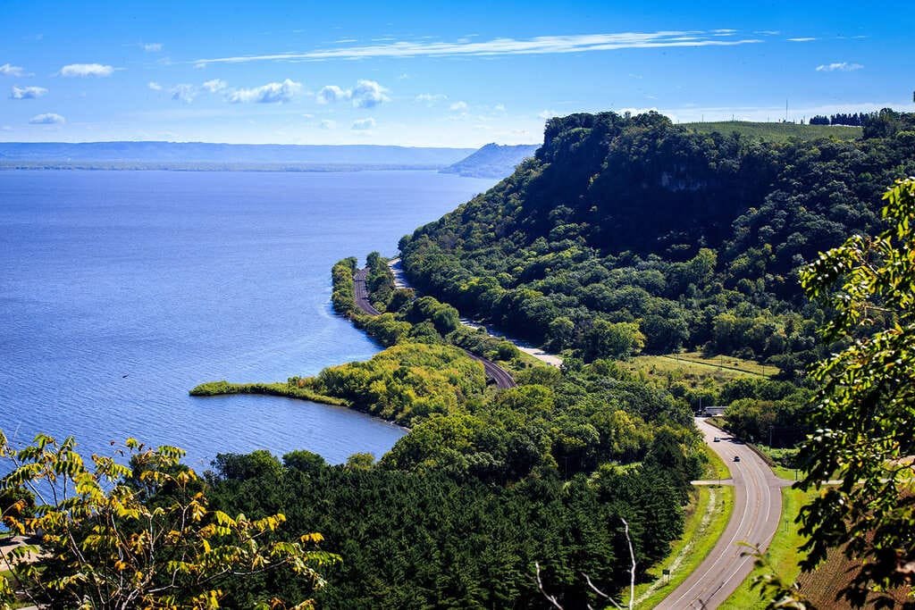
The Lincoln Highway Heritage Byway crosses Iowa from the Mississippi River at Clinton to the Missouri River at Council Bluffs. It is Iowa’s portion of the Lincoln Highway, the first coast-to-coast improved road, created in 1913.
The main route covers about 385 miles through 13 counties. Another 75 miles of loops lead onto original stretches of the road or to quiet rural scenery.
Iowa paved its whole section by 1928. The route passes Cedar Rapids, Marshalltown, Ames, Boone, Carroll, Denison, and dozens of small towns that campaigned to be on the road.
Route Details: Lincoln Highway Heritage Byway (Iowa)
Mile markers below are my estimates of distance from Clinton.
Clinton (0 miles)
Clinton was chosen as the Lincoln Highway’s Mississippi River crossing in Iowa. The Clinton County Museum, the Clinton County Courthouse, and the Clinton Area Showboat Theatre are all downtown.
Cedar Rapids and Mount Vernon (85-95 miles)
Cedar Rapids is the largest city on the byway, with The History Center and a dense set of chargers. Near Mount Vernon, the Abbe Creek School Museum sits beside a Lincoln Highway marker.
Seedling Mile (100 miles)
The Seedling Mile in Linn County was part of the Lincoln Highway Association’s object lesson program. It showed what a paved road could look like and was paved in 1918-1919.
Belle Plaine (125 miles)
Belle Plaine is one of the small towns along the old road, with plain main-street buildings and a short break from the larger cities.
Tama (150 miles)
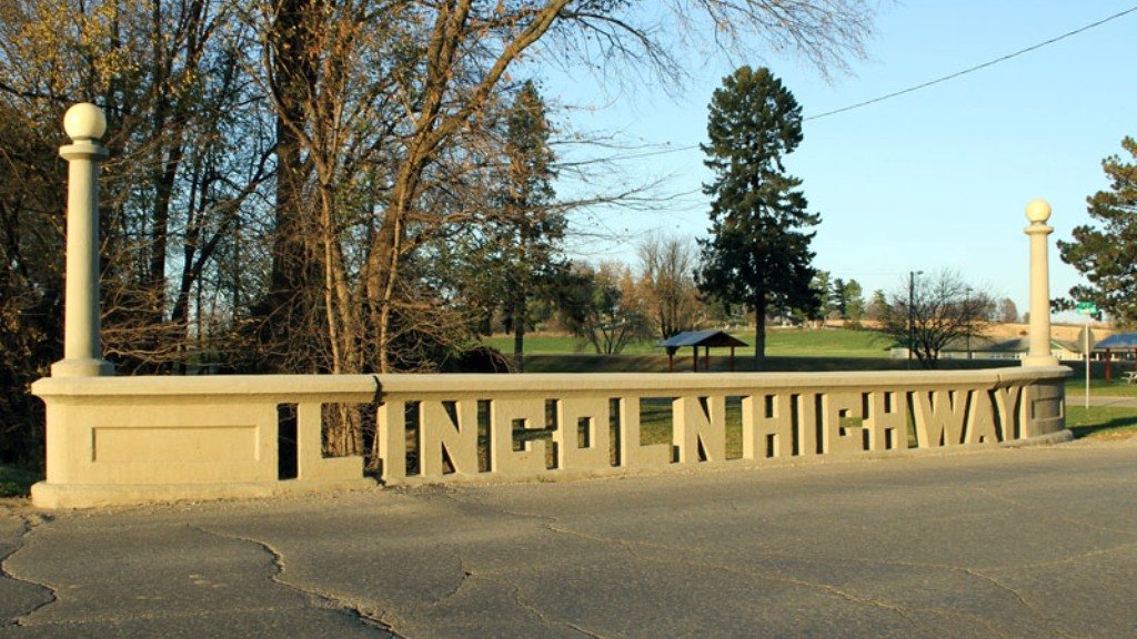
The Lincoln Highway Bridge in Tama was built in 1915 and has Lincoln Highway spelled out in cutout concrete letters on its rails. It joined the National Register of Historic Places in 1978, and the town hosts a Bridge Festival each May.
Marshalltown and Ames (170-215 miles)
Marshalltown and Ames are the main towns in central Iowa. Ames is home to Iowa State University and has a larger group of chargers.
Boone and Jefferson (235-270 miles)
Boone has Lincoln Highway scenery near Jordan, and the route crosses the Raccoon River between Scranton and Jefferson. Both are county seats and good lunch stops.
Carroll and Denison (295-315 miles)
Carroll and Denison are the main towns in western Iowa. Carroll has two charging locations.
Logan and Council Bluffs (355-385 miles)
The route runs through Logan and ends at Council Bluffs on the Missouri River. Council Bluffs has seven or eight charging locations.
Use the trip planner to build a day-by-day itinerary based on your available time and starting point.