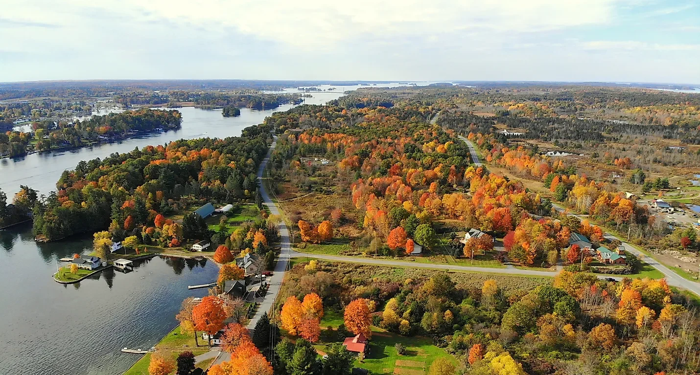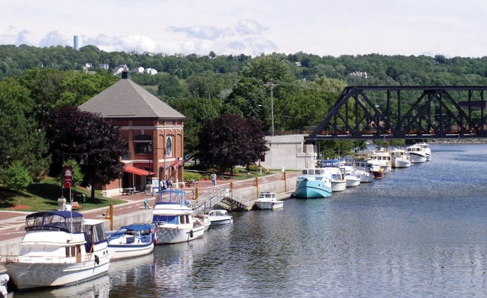
The Lakes to Locks Passage follows the old water route between New York City and Montreal, up the Hudson River, along the Champlain Canal, and through Lake George and Lake Champlain. It is 234 miles long, from Waterford to Rouses Point.
Before roads, these waterways carried most of the travel and trade in the region. French, English, and Dutch settlers arrived early, and the corridor saw fighting in the French and Indian War and the American Revolution.
Fort Ticonderoga, Crown Point, and Saratoga are all on or near the route. So are Lake George and Lake Champlain, and a string of small towns with museums and canal locks.
Route Details: Lakes to Locks Passage
Mile markers below are my estimates of distance from Waterford.
Waterford (0 miles)
The Passage starts at Waterford, where the Erie Canal meets the Hudson River. The Waterford Harbor Visitor Center is the usual first stop, and US 4 and NY 32 carry the route north.
Turning Point Trail and Saratoga (15-30 miles)
The stretch of US 4 between Mechanicville and Whitehall is designated the Turning Point Trail, tied to the Revolutionary War campaign that ended at Saratoga. Small parks and museums mark sites along the way. Saratoga Springs has EVolve NY fast chargers a short drive west.
Fort Edward (50 miles)
Fort Edward sits where the Hudson River meets the Champlain Canal. The Old Fort House Museum covers the area’s history as the Great Carrying Place, the portage between the two waterways.
Glens Falls and Lake George (60-75 miles)
Glens Falls has a historic downtown, and Lake George and Bolton Landing are a short drive north. The Passage includes scenic lakeside roads here, and Lake George is a major summer destination.
Whitehall (85 miles)
Whitehall is at the south end of Lake Champlain and the north end of the canal. Skene Manor, on Skene Mountain, has wide views of the canal and the lake, and the town calls itself a birthplace of the U.S. Navy.
Fort Ticonderoga (125 miles)
Fort Ticonderoga is on the western shore of Lake Champlain and played a key role in the Revolutionary War. It has been restored and offers programs for visitors.
Crown Point (145 miles)
Crown Point State Historic Site preserves the ruins of two forts. The Champlain Memorial Lighthouse and the Lake Champlain Bridge are nearby, and Chimney Point State Historic Site is across the water in Vermont.
Plattsburgh (190 miles)
Plattsburgh, settled in 1784, is the largest city in the region and a former shipping port. It has four EVolve NY fast chargers.
Keeseville and Rouses Point (205-234 miles)
NY 22 reaches Keeseville, and the Passage then continues north to Rouses Point at the Canadian border. From here the Route du Richelieu continues in Quebec.
Use the trip planner to build a day-by-day itinerary based on your available time and starting point.