
The Great Lakes Seaway Trail runs 518 miles along the freshwater coastline of New York and Pennsylvania, following Lake Erie, the Niagara River, Lake Ontario, and the St. Lawrence River from the Ohio line to the Canadian border.
It was one of the first roads in the country designated a National Scenic Byway, earning that status in New York in 1996, with the Pennsylvania segment added in 2005. The route had already carried state scenic byway recognition since 1978, giving it one of the longest continuous histories of any byway on this list.
Great Lakes Seaway Trail road trip drive passes 29 lighthouses, War of 1812 battle sites, farmland, and small harbor towns, along with two of the country’s best-known natural landmarks: Niagara Falls near the western end and the 1000 Islands region near the St. Lawrence River crossing into Canada.
Given the length, this is a multi-day trip for almost anyone. Most travelers treat it as a series of shorter legs rather than one continuous drive, picking up and leaving off at whichever lakeside town suits their schedule.
Route Details: Great Lakes Seaway Trail
Pennsylvania segment: Ohio line to Erie (0-45 miles)
The byway begins at the Ohio-Pennsylvania line on US 20, switching to PA 5 after about 45 miles and passing Erie Bluffs State Park along the way. This stretch is a straight run across Pennsylvania’s small Lake Erie shoreline before crossing into New York.
Buffalo and Lake Erie shoreline (64 miles)
At the New York border, PA 5 becomes NY 5, and the byway continues through Buffalo, the drive’s largest city and the route’s best hub for EV charging, food, and lodging. Buffalo’s downtown riverfront and the nearby Peace Bridge to Canada make it a natural overnight stop.
Niagara Falls (85 miles)
Niagara Falls is the byway’s signature stop, with Niagara Falls State Park giving close-up views of the falls from the American side. The city also has the corridor’s strongest fast-charging infrastructure, installed specifically as part of New York’s EVolve NY buildout.
Lake Ontario shoreline toward Rochester (140 miles)
Heading east, the byway follows the Lake Ontario shoreline through small towns and farmland, with the Lake Ontario State Parkway carrying part of the route. Numerous small lighthouses and harbor parks dot this stretch, each worth a short stop.
Rochester and Irondequoit (165 miles)
Near Rochester, the byway winds through Durand-Eastman Park and the city-owned shoreline of northern Irondequoit, routing around Irondequoit Bay before continuing east. It’s one of the more developed stretches of the drive, with full city services.
Wayne, Cayuga, and Oswego counties (220 miles)
This stretch carries the byway through smaller lakeside communities including Fair Haven on Little Sodus Bay, staying close to the Lake Ontario shore for long stretches with regular lake views.
Oswego and the St. Lawrence approach (280 miles)
Oswego sits at a major harbor on Lake Ontario, with Fort Ontario State Historic Site nearby covering centuries of military history at this strategically important lake crossing point.
1000 Islands region (400 miles)
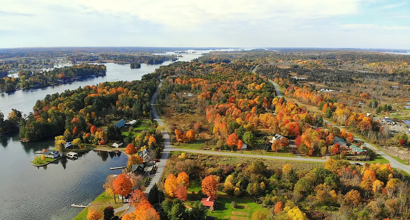
As the byway approaches the St. Lawrence River, it enters the 1000 Islands region, a cluster of small islands along the river with bridges and ferries connecting to Ontario, Canada. This is one of the most scenic and popular stretches of the entire drive.
Massena and the Canadian border (518 miles)
The byway ends in Massena, New York, at the Seaway International Bridge crossing into Canada. It’s a fitting close to a drive that spent its entire length following the water route the St. Lawrence Seaway made possible.
Use the trip planner to build a day-by-day itinerary based on your available time and starting point.