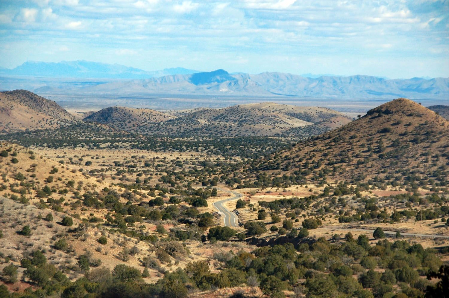
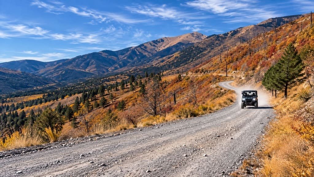
The Jemez Mountain Trail climbs from red desert cliffs near San Ysidro to forested peaks above 9,000 feet. It passes Jemez Pueblo, Jemez Springs, and Valles Caldera before reaching Los Alamos.
Much of the history sits beside the road. A Spanish mission at Giusewa has stone walls from around the time the Pilgrims landed at Plymouth Rock, and Los Alamos was the site of the birth of the Atomic Age.
The loop covers volcanic scenery, hot springs, and short hikes in a day or two. It is paved the whole way.
Route Details: Jemez Mountain Trail
Mile markers below are my estimates of distance from San Ysidro along NM 4.
San Ysidro and Jemez Pueblo (0-5 miles)
The trail starts near San Ysidro, a Spanish colonial farming village with a restored adobe church. Jemez Pueblo is the next stop. The Walatowa Visitor Center is jointly run by the Pueblo and the Santa Fe National Forest and has a museum and a gift shop.
Jemez Springs (12 miles)
NM 4 follows the Jemez River into Jemez Springs, a small town dwarfed by volcanic cliffs. The Jemez Springs Bath House offers mineral baths in an 1870s Victorian building, and the Jemez Historic Site preserves the Giusewa mission ruins.
Soda Dam and Battleship Rock (16-20 miles)
Soda Dam is a mineral formation shaped like a domed falls, where the Jemez River bubbles into hot springs. Battleship Rock is farther north, and a short, steep trail leads from it to McCauley Warm Springs.
Jemez Falls (32 miles)
A quarter-mile trail from the Jemez Falls campground leads to a viewpoint where the river drops about 70 feet. The area is part of the Jemez National Recreation Area, with picnic and fishing spots along the river.
Valles Caldera National Preserve (40 miles)
The road crests at about 9,000 feet and then opens onto the preserve, 89,000 acres of mountain meadow in one of the largest young volcanic calderas in the world. Elk graze in the meadows, and trails lead to fishing and hot springs.
Gilman Tunnels and Ponderosa Valley (side trips)
NM 485 leads about 5 miles to the Gilman Tunnels, blasted through rock in the 1920s. NM 290 leads to the Ponderosa Valley Vineyard.
Bandelier National Monument (55 miles)
Bandelier covers almost 33,000 acres of canyons, mesas, and wilderness, with ancestral Pueblo dwellings carved into the cliffs. It is a short drive off NM 4 near Los Alamos.
Los Alamos (68 miles)
Los Alamos was the site of the Manhattan Project and still hosts Los Alamos National Laboratory. The Bradbury Science Museum and the Los Alamos History Museum cover that history, and the town has lodging and food. It also has the byway’s best charging, including one DC fast stall.
Cuba and the western loop (via NM 126)
From NM 4 you can turn northwest on NM 126 to Cuba, passing Fenton Lake State Park and the San Pedro Parks Wilderness. Cabezon Peak, a volcanic plug, is visible on the way back toward US 550.
Use the trip planner to build a day-by-day itinerary based on your available time and starting point.