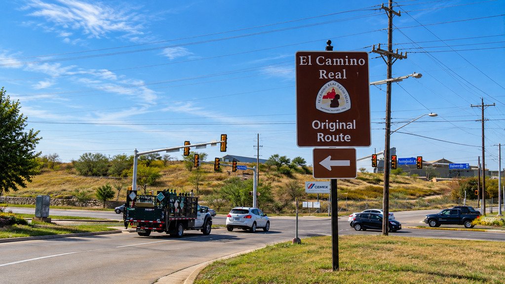
El Camino Real National Scenic Byway traces 299 miles of New Mexico’s oldest trade route, following the Rio Grande corridor from Las Cruces north to Ohkay Owingeh, just past Española.
The road is far older than its highway designation. Don Juan de Oñate led 500 Spanish colonists along this path in 1598, and for more than two centuries afterward it served as the primary trade route connecting Mexico City and the commercial centers of Chihuahua to Spain’s northern colonies. In its full extent, El Camino Real de Tierra Adentro ran some 1,500 to 2,000 miles.
The Federal Highway Administration designated the New Mexico segment a National Scenic Byway, and today’s route largely follows I-25, connecting Main Street districts in Las Cruces, Truth or Consequences, Socorro, Belen, and Albuquerque before continuing to Santa Fe and Ohkay Owingeh.
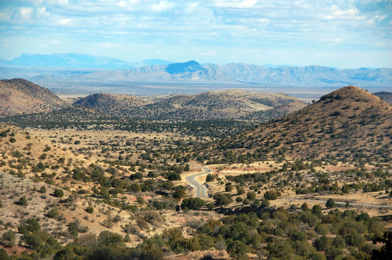
The road’s history isn’t gentle. Between Las Cruces and Socorro, the route crosses the Jornada del Muerto, the Journey of the Dead Man, roughly 90 miles of waterless desert that claimed travelers for centuries. That history sits alongside the drive’s more peaceful stretches along the Rio Grande, through wildlife refuges and small historic towns that still carry the road’s Spanish colonial roots.
Route Details: El Camino Real National Scenic Byway
Las Cruces and Fort Selden (0 miles)
The byway begins in Las Cruces, a name that may come from crosses marking the graves of travelers who died on El Camino Real. Just north of the city, Fort Selden State Monument preserves the ruins of an 1865 military post built to protect travelers on the road, and marks the point where the Jornada del Muerto desert crossing begins.
Jornada del Muerto (20 miles)
The Jornada del Muerto is the most dangerous stretch of the historic route, a roughly 90-mile waterless desert crossing that travelers once dreaded more than any other part of the journey. Modern I-25 follows close to the old path, and the landscape still conveys why early travelers feared it.
Truth or Consequences (75 miles)
Truth or Consequences sits along the Rio Grande near Elephant Butte Lake, a reservoir popular for boating and fishing. The town renamed itself in 1950 after a radio quiz show, and it’s also home to several natural hot springs that make a good stop to break up the long desert crossing.
Fort Craig (105 miles)
Fort Craig, a 19th-century military post, sits near the byway and played a role in the 1862 Battle of Valverde during the Civil War, when Confederate and Union forces clashed over control of the Rio Grande corridor and this same road.
Socorro and the El Camino Real International Heritage Center (130 miles)
Socorro anchors the byway’s midpoint, and the El Camino Real International Heritage Center, a New Mexico State Monument dedicated in 2005, gives the fullest orientation to the road’s history anywhere along the drive. The historic town plaza reflects centuries of Spanish colonial and territorial-era architecture.
Bosque del Apache National Wildlife Refuge (140 miles)
Just south of Socorro, Bosque del Apache National Wildlife Refuge is one of the premier birdwatching stops in the Southwest, drawing thousands of sandhill cranes and snow geese each winter. A loop drive through the refuge makes an easy detour from the byway.
Belen and Los Lunas (195 miles)
Belen grew as a farming and railroad community along the Rio Grande, and nearby Los Lunas marks the approach to Albuquerque. Both towns sit in the agricultural South Valley, where the historic Camino Real runs through land still farmed much as it has been for generations.
Albuquerque (220 miles)
Albuquerque is the largest city on the byway, with Old Town preserving the city’s Spanish colonial plaza and adobe architecture near the original Camino Real path. It’s the natural place for a longer stop, with the most services and lodging options on the entire drive.
Santa Fe (270 miles)
North of Albuquerque, the byway approaches Santa Fe, the oldest state capital in the country. El Rancho de las Golondrinas, a preserved 18th-century Spanish colonial ranch just south of the city, was once a paraje, or rest stop, along the original Camino Real and now operates as a living history museum.
Ohkay Owingeh (299 miles)
The byway ends at Ohkay Owingeh, formerly known as San Juan Pueblo, near Española. This was the first Spanish capital in New Mexico and the endpoint of Oñate’s original 1598 journey, closing the loop on the same history that opened the drive in Las Cruces.
Use the trip planner to build a day-by-day itinerary based on your available time and starting point.