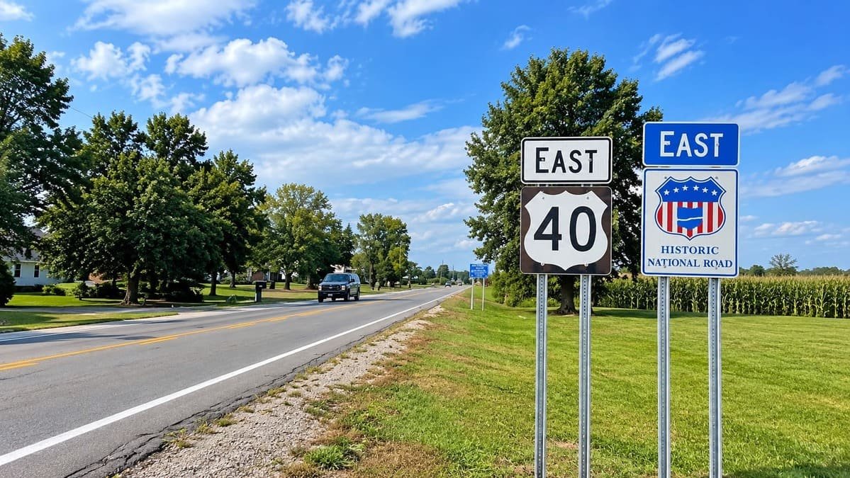
Indiana’s Historic Pathways follows an old bison trail across southern Indiana. The Buffalo Trace ran from the Illinois prairies to the salt licks in Kentucky, and settlers, soldiers, and stagecoaches followed it afterward.
Young Abraham Lincoln’s family joined the Trace on their way out of Indiana, crossing the Wabash at Vincennes into Illinois. The state paved much of the route as a turnpike, and US 150 later took over its path.
Today the byway has two spurs that split at Shoals. One heads southeast to New Albany and the Ohio River, and the other follows US 50 northeast to Lawrenceburg, past rolling farmland and the Hoosier National Forest.
Route Details: Indiana’s Historic Pathways
Mile markers below are my estimates, counted from Vincennes along the shared road and then along each spur.
Vincennes (0 miles)
Vincennes was founded in 1732 and sits at the byway’s west end. The George Rogers Clark National Historical Park, Grouseland (the home of William Henry Harrison), the Indiana Military Museum, and the Vincennes State Historic Sites are all close together.
Washington (22 miles)
Washington is 22 miles east of Vincennes, where US 50 becomes an expressway that bypasses towns. It has a Tesla Supercharger, the last one before the spurs.
Shoals and Jug Rock (50 miles)
Shoals is where US 50 and US 150 meet. Jug Rock, a large table rock formation that looks like a jug, is nearby, and the Hoosier National Forest surrounds this stretch.
South spur: French Lick and West Baden (75 miles)
The south spur follows US 150 to French Lick, where bison once gathered at a salt lick. French Lick Resort and West Baden Springs are the area’s two big historic hotels, and the French Lick Scenic Railway runs from town.
South spur: Paoli (90 miles)
Paoli has Paoli Peak, a small ski area, and Wilstem Ranch, where visitors can feed giraffes and elephants. The old Buffalo Trace corridor runs through the area.
South spur: New Albany and Falls of the Ohio (125 miles)
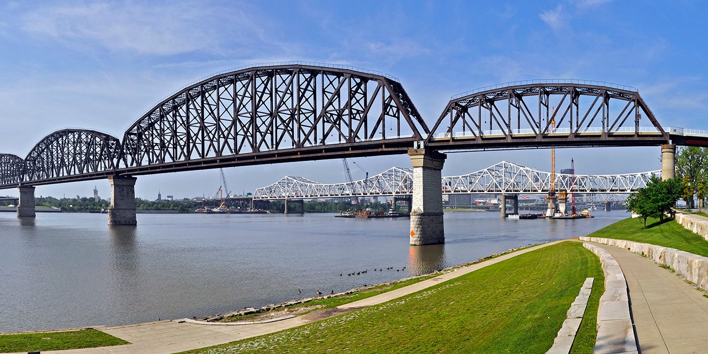
New Albany has a historic district on the Ohio River. The south spur ends at Falls of the Ohio State Park in Clarksville, where fossil beds are exposed on the riverbank.
North spur: Seymour (85 miles)
On the north spur, Seymour is the first major stop and a good place to find food and chargers. The spur then follows US 50 across rolling farm country.
North spur: Big Oaks and Lawrenceburg (140 miles)
Big Oaks National Wildlife Refuge sits near US 50 on the way east. The spur ends at Lawrenceburg on the Ohio River, a former steamboat port with a historic district and Perfect North Slopes nearby.
Use the trip planner to build a day-by-day itinerary based on your available time and starting point.