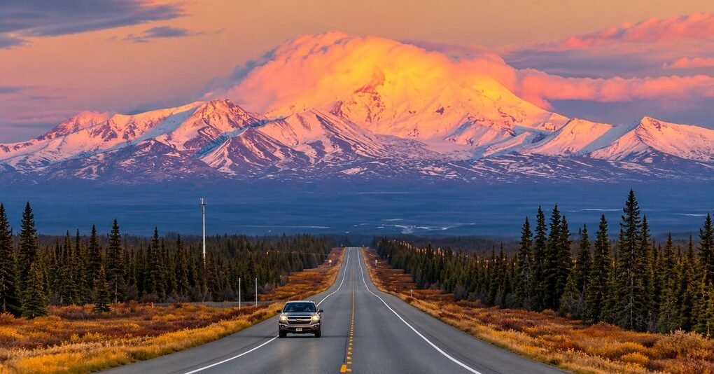
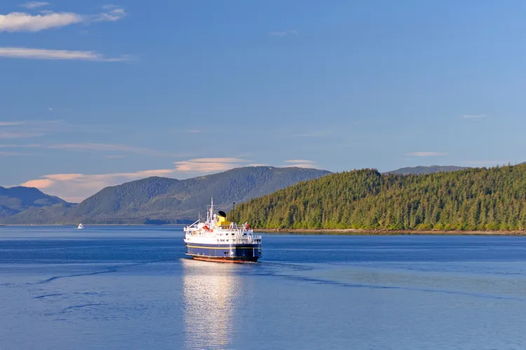
The Haines Highway National Scenic Byway covers just 44 miles within Alaska, from the Haines Ferry Terminal to the Canadian border, but it carries one of the richest histories of any short byway in the country.
The route follows what the Chilkat and Tlingit people called the Grease Trail, a trading corridor named for the oil from candlefish that was its main commodity, used for generations to trade with Athabascan communities in the Yukon interior. Explorer and trader Jack Dalton improved the trail in the late 1800s, and the U.S. Army built it into a true highway in 1943 as a military access road connecting to the Alaska Highway.
The Federal Highway Administration designated the Alaska segment a National Scenic Byway in October 2009. The road climbs out of Haines through lush coastal rainforest, up the Chilkat River valley and into the St. Elias Mountains, with glaciated peaks visible for much of the drive.
Though the federally designated byway covers only the Alaska portion, the highway itself continues roughly 115 more miles through British Columbia and the Yukon to Haines Junction, forming part of the larger Golden Circle Route that loops through Whitehorse and Skagway before returning to Haines by ferry.
Route Details: Haines Highway National Scenic Byway
Haines Ferry Terminal (0 miles)
The byway begins at the Haines Ferry Terminal, the Alaska Marine Highway’s connection point for anyone arriving by sea. The route runs south on Lutak Road into the town of Haines before turning north to officially begin the highway.
Haines and the Sheldon Museum (3 miles)
Haines is a small Inside Passage community with deep Chilkat Tlingit and gold rush history. The Sheldon Museum and Cultural Center, at the intersection of Front and Main Street, covers both eras and is the best orientation point before heading up the highway. This is also the only stretch of the byway with meaningful services, including fuel, food, and lodging.
Chilkat River flats (10 miles)
North of Haines, the highway winds through the Chilkat River flats, a broad, braided river valley that sets up the drive’s defining feature: near-constant views of glaciated peaks in the surrounding St. Elias Mountains.
Alaska Chilkat Bald Eagle Preserve (20 miles)
The Alaska Chilkat Bald Eagle Preserve protects a stretch of the Chilkat River that stays ice-free later into the fall than surrounding waters, thanks to warmer groundwater feeding in from nearby lakes. A late salmon run draws thousands of bald eagles here each October through January, one of the largest gatherings of the species anywhere in the world.
Climb into coastal rainforest (30 miles)
Past the eagle preserve, the highway begins climbing in earnest, moving from river flats into dense coastal rainforest as it gains elevation toward the mountains ahead. This stretch has some of the most consistently photographed scenery on the drive.
Dalton Cache and the Canadian border (44 miles)
The Alaska byway ends at Dalton Cache, the U.S. border crossing named for trader Jack Dalton, who improved the original trail in the 1880s. Travelers continuing into Canada pick up Yukon Highway 3 on the other side, which carries the same Haines Highway name another roughly 115 miles to Haines Junction.
Use the trip planner to build a day-by-day itinerary based on your available time and starting point.