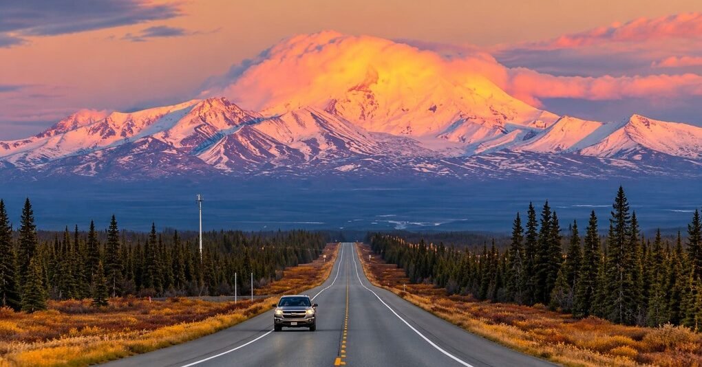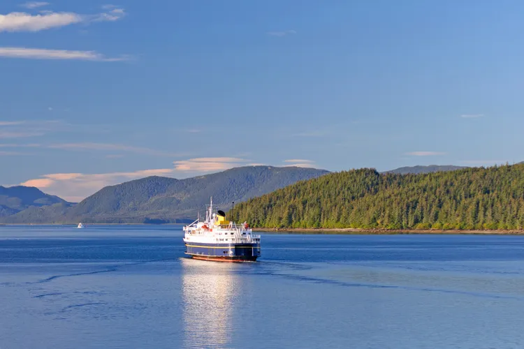
The Alaska Marine Highway is the only ferry system in the country designated both a National Scenic Byway and an All-American Road.
It runs more than 3,500 miles of coastal water, from Bellingham, Washington, to Dutch Harbor in the Aleutian Islands, connecting more than 30 communities that have no road access at all. Because it’s part of the National Highway System and receives federal highway funding, it qualifies for the same designation as paved routes despite being entirely a boat trip.
This guide covers the most commonly traveled stretch, the Inside Passage route from Bellingham to Skagway through Southeast Alaska. Along the way, the ferry passes glaciers, breaching whales, and Tlingit and Haida communities, following much of the same water that Alaska’s big cruise ships use, minus the resort-ship experience.
Ferries only stop for a few hours at most ports, so seeing more of a town usually means getting off, exploring, and catching a later sailing. Full trip logistics take real planning, since schedules run on a limited, seasonal basis and need to be booked well ahead of summer travel.
Route Details: Alaska Marine Highway (Inside Passage Route)
Bellingham to Ketchikan (about 38 hours by ferry)
The route begins in Bellingham, Washington, the ferry system’s southernmost terminal, for a roughly day-and-a-half crossing north into Alaska waters. Ketchikan, known as Alaska’s “first city,” was originally home to Tlingit, Haida, and Tsimshian peoples before becoming a hub for logging, mining, and fishing in the early 1900s. Misty Fjords National Monument, a landscape of steep granite cliffs and waterfalls, sits just outside town and is usually visited by floatplane or boat tour rather than the ferry itself.
Ketchikan to Wrangell and Petersburg (about 12 hours combined)
From Ketchikan, the ferry continues to Wrangell, a small town with Tlingit petroglyphs visible on the beach at low tide, before continuing to Petersburg, a fishing town with strong Norwegian heritage still visible in its architecture and annual festivals.
Petersburg to Juneau (about 8 hours)
Juneau is the only U.S. state capital with no road connection to the rest of the state, reachable only by air or water. Mendenhall Glacier, a short drive from the ferry terminal, is the area’s most visited attraction, with a visitor center and trails leading toward the ice face.
Juneau to Haines and Skagway (about 8 hours combined)
The final stretch reaches Haines, a smaller town known for its bald eagle population, especially in late fall when thousands gather along the Chilkat River to feed. Skagway, the route’s endpoint for this itinerary, preserves much of its Klondike Gold Rush-era downtown, and Klondike Gold Rush National Historical Park covers the town’s role as a staging point for prospectors heading into the Yukon in 1897 and 1898.
Use the trip planner to build a day-by-day itinerary based on your available time and starting point. Because this route runs on ferry schedules rather than continuous driving, treat the planner’s output as a framework to check against the Alaska Marine Highway System’s actual sailing schedule before booking.