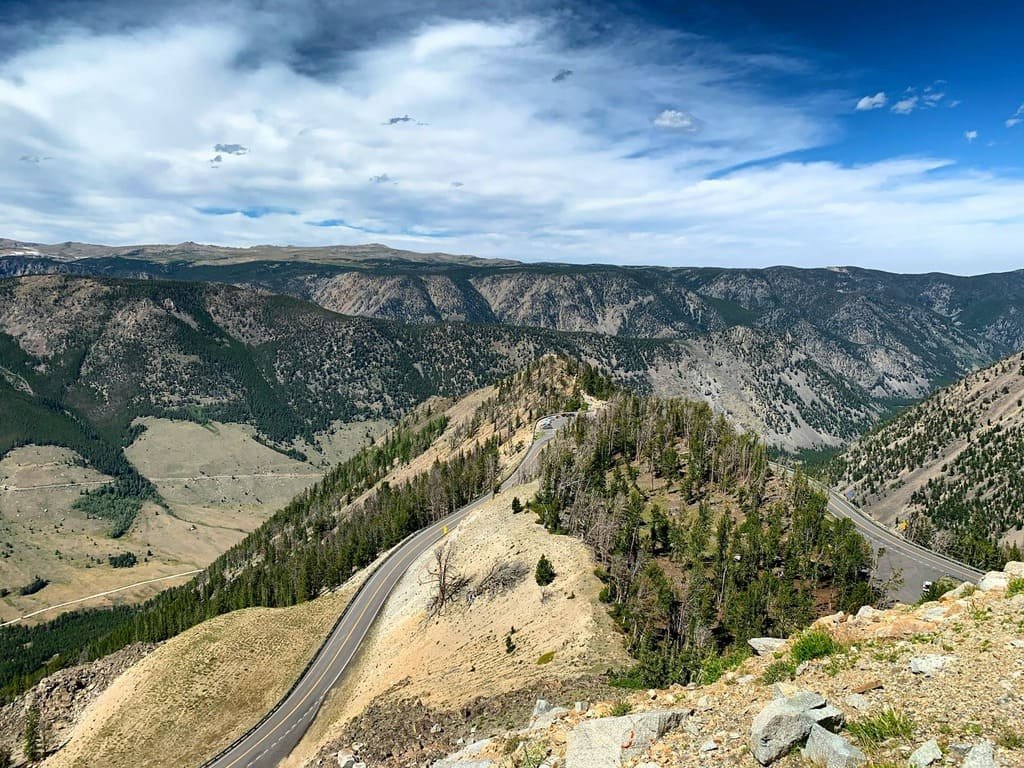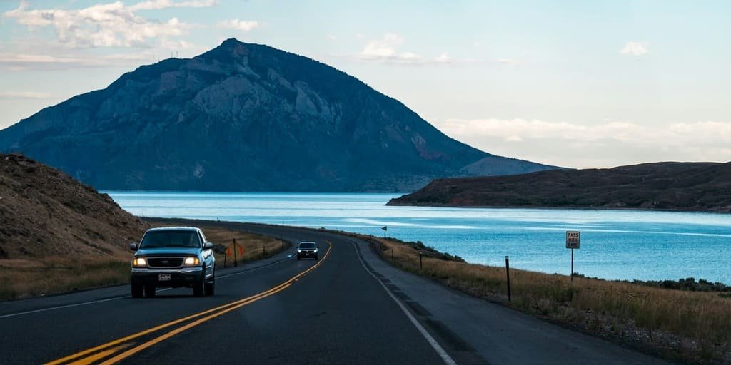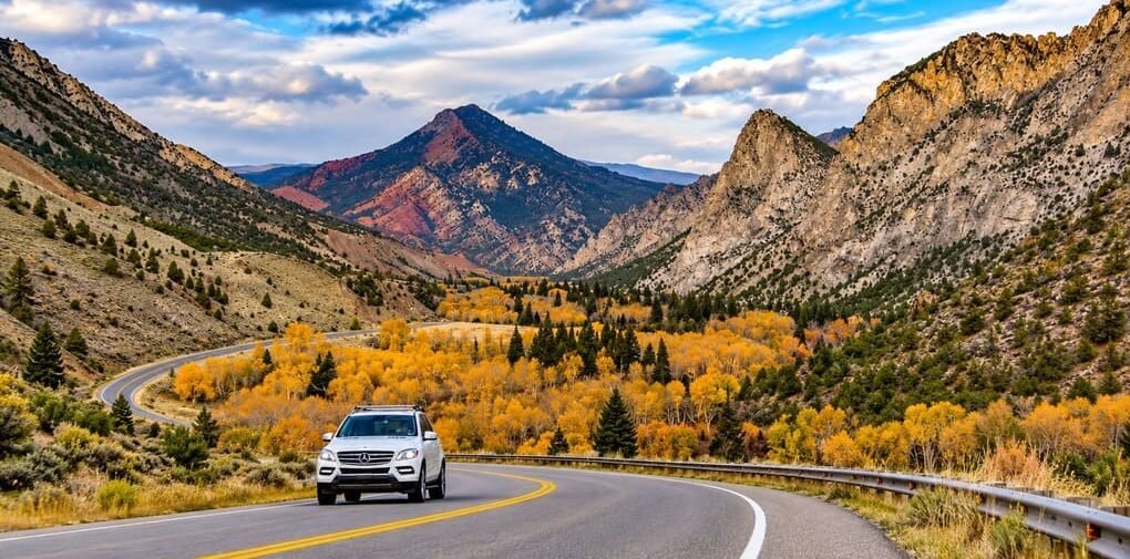
The Flaming Gorge-Green River Basin Scenic Byway is a 100-mile loop out of Rock Springs and Green River, Wyoming, tracing high desert ridgelines above the Green River and the northern end of the Flaming Gorge Reservoir.
John Wesley Powell named the gorge in the 1860s, after the sun lit up the red canyon walls during his expedition down the Green River, then the last unmapped river in North America. The Federal Highway Administration designated the loop an All-American Road in early 2021, one of only 37 such designations nationally.
The route follows two parallel roads south from I-80: US Highway 191 on the eastern side and Wyoming 530 on the western side, both running along ridges with views stretching 50 miles or more. A stretch of the route follows the historic Overland Stage Trail, later paralleled by the original transcontinental railroad.
It’s a shorter, quieter byway than its Utah counterpart farther south, built around open high desert, pronghorn and wild horse herds, and the reservoir’s red-rock shoreline rather than developed overlooks and visitor centers.
Route Details: Flaming Gorge–Green River Basin Scenic Byway
Rock Springs (0 miles)
The loop’s eastern leg begins at I-80 near Rock Springs, heading south on US 191 into open high desert. Rock Springs has the most services on the byway, including the most reliable EV charging, making it a natural starting point.
High desert and the Overland Stage Trail corridor (10 miles)
South of Rock Springs, the highway crosses a historic transportation corridor once used by the Overland Stage Trail and later paralleled by the first transcontinental railroad. The surrounding desert is home to pronghorn, wild horses, mule deer, and a range of raptor species.
Firehole Canyon Overlooks (35 miles)
Near mile marker 511, the Little Firehole Overlook and Big Firehole Turnout give some of the best early views of the reservoir and surrounding red-rock formations, marking the northernmost easy access point to Lake Flaming Gorge.
Clay Basin Raptor Viewing (45 miles)
Around mile markers 535 to 537, the byway passes Clay Basin, a spot known for raptor and bird-of-prey sightings. It’s a good stretch to slow down, especially for anyone interested in wildlife photography.
Wyoming-Utah state line (51 miles)
US 191 reaches the Wyoming-Utah line, where travelers with extra time can continue onto the Flaming Gorge-Uintas Scenic Byway and loop around the reservoir’s southern end before returning north on WY 530. This guide covers the Wyoming loop only.
WY 530 and the western shore (75 miles)
Returning north on WY 530, the byway follows the reservoir’s western shore, a route locals note draws fewer visitors than the eastern side. The terrain here is rugged and largely empty, with long, open views back across the basin.
Green River and Expedition Island (100 miles)
The loop closes at Green River, where Expedition Island marks the spot John Wesley Powell launched his 1869 voyage down the Green and Colorado Rivers. A short walk along the riverfront here makes a fitting close to the drive.
Use the trip planner to build a day-by-day itinerary based on your available time and starting point.