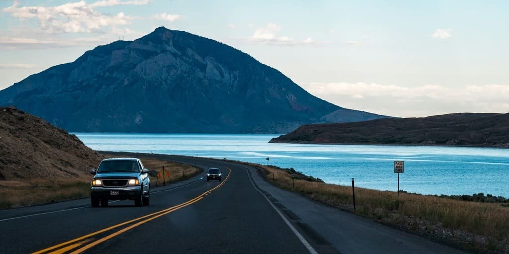
The Beartooth Highway runs 68.7 miles between Red Lodge, Montana, and Cooke City, Montana, climbing to nearly 11,000 feet at Beartooth Pass.
It’s the highest-elevation highway in both Wyoming and Montana, and the highest in the Northern Rockies overall, gaining more than 5,000 feet in roughly 12 miles through a series of switchbacks that took decades to build. Construction began in the 1920s, stalled when federal highway funding shifted elsewhere, and finally opened to traffic on June 14, 1936, after a new route was pushed through Congress.
The road passes through alpine tundra, glacially carved lakes, and more than 20 peaks over 12,000 feet, all within Custer Gallatin and Shoshone National Forest land along the Montana-Wyoming border. It’s often called the most beautiful drive in America, and it holds both National Scenic Byway and All-American Road status.
Weather at this elevation can shift fast, even in summer, so most people check conditions before departing and treat the drive as a half-day trip rather than something to rush through.
Route Details: Beartooth Highway
Red Lodge to Rock Creek Vista Point (21 miles)
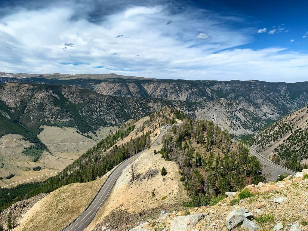
Leaving Red Lodge, a historic mining-town-turned-mountain-town, the highway climbs steadily through lodgepole pine forest before reaching Rock Creek Vista Point, a rest area and interpretive trail at 9,190 feet. This stop offers one of the first wide views back down into the valley and marks the start of the highway’s most dramatic switchback climbing.
Rock Creek Vista Point to Beartooth Pass (12 miles)
This stretch holds the steepest and most technical driving on the route, climbing from around 9,190 feet to the pass itself at 10,947 feet, the highest point on the highway. Along the way, the Bear’s Tooth, a pyramidal granite spire carved by glaciers, becomes visible and gives the highway its name. Weather here can turn quickly, and short-term closures from blowing snow or fog aren’t unusual even in early summer.
Beartooth Pass to Beartooth Lake and Island Lake (15 miles)
Past the pass, the road levels onto a high alpine plateau before descending slightly into Wyoming, passing Island Lake, a 146-acre alpine lake sitting at about 9,500 feet just below the tree line. Beartooth Lake, nearby, has a National Forest Service campground and is a common stop for photos of the surrounding peaks reflected in calm water.
Beartooth Lake to Cooke City (20 miles)
The final stretch descends back into Montana, passing the junction with the Chief Joseph Scenic Byway, the only significant intersecting road along the entire highway, which offers an alternate route toward Cody, Wyoming, instead of retracing the same road. Cooke City, a small former mining town, sits just outside Yellowstone’s northeast entrance and is one of three gateway communities, along with Red Lodge and Cody, that serve travelers on this route.
Use the trip planner to build a day-by-day itinerary based on your available time and starting point. Given the elevation and weather risk, check current road conditions before departure rather than assuming the pass is open, especially early or late in the season.