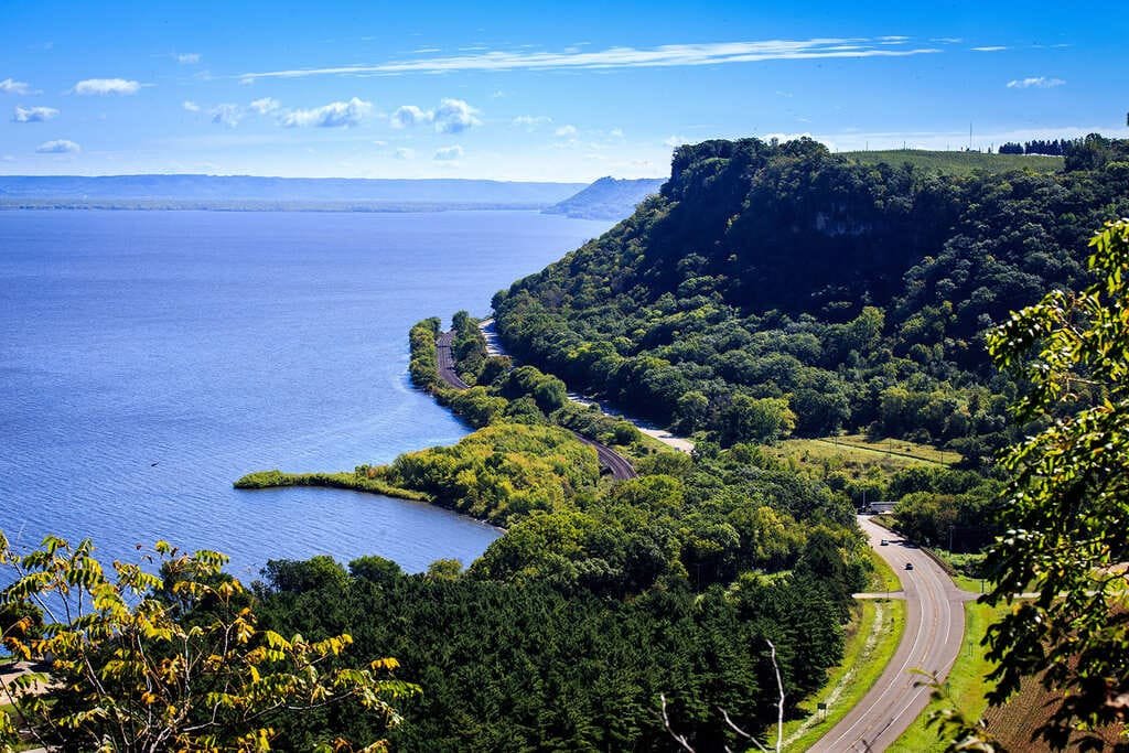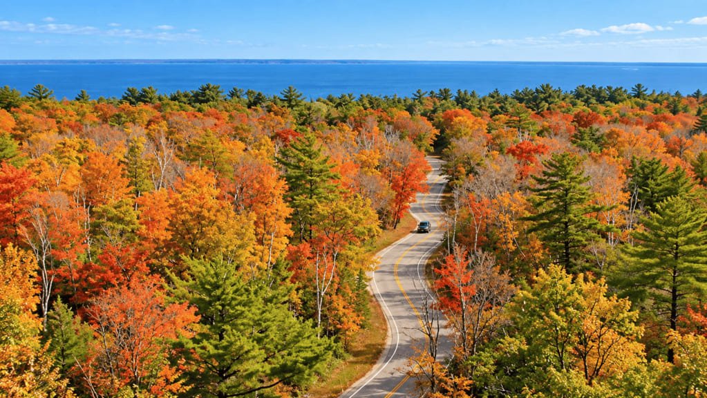
The Door County Coastal Byway loops 66 miles around the tip of Wisconsin’s Door Peninsula, tracing the shoreline where Lake Michigan meets Green Bay. It became Wisconsin’s third state scenic byway in 2010 and earned National Scenic Byway status from the Federal Highway Administration in February 2021.
The road follows WIS 42 up the Green Bay side and WIS 57 up the Lake Michigan side, meeting at the peninsula’s northern tip near Northport. In between, it crosses the Niagara Escarpment, the same limestone formation that underlies Niagara Falls, which shows up here as steep bluffs, cliffs, and the tallest sand dunes in Wisconsin.
The route touches three state parks, ten county parks, and several historic lighthouses, along with the fishing villages and cherry orchards that have defined Door County’s economy for generations. More than 20,000 acres of protected natural land line the byway, including some of the most ecologically diverse terrain in the state.
It’s compact enough to drive in a single day, but most visitors spread it across two, using the small towns along the way as stopping points rather than just scenery.
Route Details: Door County Coastal Byway
Sturgeon Bay (0 miles)
The loop begins just north of Sturgeon Bay at the junction of WIS 42 and WIS 57. Sturgeon Bay itself has the peninsula’s fullest services, including the byway’s best EV charging, and the Door County Maritime Museum covers the area’s shipbuilding history before heading out onto the loop.
Whitefish Dunes State Park (10 miles)
A short detour off WIS 57 leads to Whitefish Dunes State Park, home to the tallest sand dunes in Wisconsin. It’s an easy add-on early in the drive, with beach access and hiking trails through the dune ecosystem.
Jacksonport and Bailey’s Harbor (20 miles)
Heading north on WIS 57, the byway passes through Jacksonport and Bailey’s Harbor, two small lakeside communities with a slower, less touristy feel than the towns on the Green Bay side. Bailey’s Harbor has a historic range light and a walkable harbor area.
Newport State Park (30 miles)
Newport State Park, Wisconsin’s only wilderness park, sits near the peninsula’s northern tip. It’s also the state’s only International Dark Sky-designated area, making it a notable stop for stargazing if the timing works out.
Northport (33 miles)
Northport marks the point where WIS 57 meets WIS 42, at the peninsula’s northern tip. The Washington Island Ferry departs from here, a worthwhile add-on for anyone with an extra half day to see the island.
Ellison Bay and Sister Bay (40 miles)
Heading back south on WIS 42, the byway passes through Ellison Bay before reaching Sister Bay, one of the more developed towns on the loop, with restaurants, shops, and several lodging options that double as EV charging points.
Ephraim (48 miles)
Ephraim is one of the most photographed towns on the byway, with white clapboard buildings overlooking Eagle Harbor. It has a strong Moravian settlement history and a quieter, more preserved character than some of the peninsula’s busier towns.
Peninsula State Park and Fish Creek (55 miles)
A detour off the byway leads through Peninsula State Park, Wisconsin’s second-oldest state park, with bluff-top views over Green Bay and the historic Eagle Bluff Lighthouse. Fish Creek, just south of the park, preserves its steamship-era history through the Welcker’s Resort Historic District and Historic Noble House.
Egg Harbor (62 miles)
Egg Harbor is the last stop before the loop closes, a village with deep-water port history and good farmland behind it. It’s a reasonable final stop for dinner before returning to Sturgeon Bay.
Back to Sturgeon Bay (66 miles)
The byway closes the loop back at the WIS 42/57 junction near Sturgeon Bay, completing the drive around the Door Peninsula’s coastline.
Use the trip planner to build a day-by-day itinerary based on your available time and starting point.