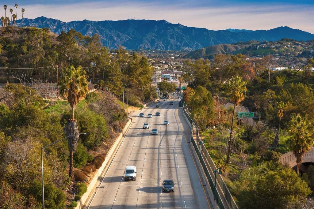
The Arroyo Seco Historic Parkway runs just 8.2 miles between downtown Los Angeles and Old Town Pasadena, making it one of the shortest byways in the country.
It opened on December 30, 1940, as the first freeway built in the western United States, cutting the drive between the two cities from 27 minutes to 12. Built during the Great Depression, the project put people to work while introducing design ideas, gentle curves, tight interchanges, and a parkway aesthetic that would shape California’s freeway system for decades afterward.
Renamed the Pasadena Freeway in 1954, it kept that name until 2010, when Caltrans restored the original Arroyo Seco Parkway name as part of an effort to highlight its historic and scenic character. It’s now listed on the National Register of Historic Places and carries State Scenic Highway, National Civil Engineering Landmark, and National Scenic Byway designations at once.
Despite its short length, the parkway still functions as a working freeway carrying more than 120,000 vehicles daily, so the drive rewards a slower pace and some patience with its narrow lanes and unusually tight ramps rather than treating it as an ordinary modern highway.
Route Details: Arroyo Seco Historic Parkway
Four Level Interchange to Elysian Park (about 2 miles)
The parkway begins at the Four Level Interchange in downtown Los Angeles, itself a landmark of mid-century freeway engineering, near Dodger Stadium and the Chinatown neighborhood. Elysian Park, just off the parkway, holds a series of tunnels and green space worth a short stop before continuing north.
Elysian Park to Avenue 26 Bridge (about 2 miles)
Shortly after re-entering the parkway heading northeast, the road crosses the historic Avenue 26 Bridge, built in 1925 and later widened in 1938 to accommodate the parkway and an adjacent flood control channel. This stretch runs directly alongside the Arroyo Seco, the seasonal streambed that gives the parkway its name and Spanish translation, “dry stream.”
Avenue 26 to Avenue 60 (about 2 miles)
Continuing northeast, the parkway passes under the Metro A Line light rail before reaching a series of folded diamond interchanges, a design feature using unusually tight right-in, right-out ramps that were innovative for their time. The 1926 Avenue 60 Bridge, one of four bridges predating the parkway’s original construction, crosses the Arroyo Seco along this section.
Avenue 60 to Pasadena (about 2 miles)
The final stretch leaves the parkway’s original industrial surroundings for the more residential edge of Pasadena, passing near the Colorado Street Bridge and the Wrigley Mansion, a Renaissance-style estate now serving as the Tournament of Roses headquarters. The route ends on Colorado Boulevard in the heart of Old Town Pasadena, near the Rose Bowl and the California Institute of Technology.
Use the trip planner to build a day-by-day itinerary based on your available time and starting point. Given the parkway’s short length, most people pair this route with other stops in Los Angeles or Pasadena rather than treating it as a standalone trip.