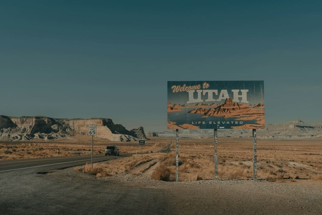
Utah Mighty 5 route connects five national parks across 550 miles of southern Utah desert.
Zion, Bryce Canyon, Capitol Reef, Canyonlands, and Arches each have a distinct landscape, from Zion’s narrow canyons to Bryce’s hoodoo formations to Arches’ sandstone arches.
The road trip between parks takes about 11 hours total, but the parks themselves are where the time goes. Most people spend a full day or two at each stop, especially Zion and Arches, which draw the largest crowds and require earlier starts to beat shuttle lines and parking limits.
Fall and spring offer the most comfortable hiking temperatures, since summer regularly pushes past 100°F in the lower elevations.
Route Details: Utah Mighty 5 Road Trip
Zion National Park (base for days 1–2)
Zion’s main draw is Zion Canyon, accessible only by shuttle during peak season since private vehicles aren’t allowed on the canyon road. The Narrows, a hike through the Virgin River between towering canyon walls, and Angels Landing, a steep trail with chain-assisted sections and a permit requirement, are the park’s two signature hikes. The town of Springdale, just outside the park entrance, has most of the lodging and restaurants for this stretch.
Zion to Bryce Canyon (85 miles)
The drive to Bryce Canyon passes through the Zion–Mount Carmel Tunnel, a 1.1-mile tunnel blasted through sandstone in 1930 that requires a size-based escort fee for larger RVs. Bryce Canyon itself sits at a higher elevation than Zion, and its main feature is the amphitheater of hoodoos, tall, thin rock spires visible from a series of rim overlooks along the park’s main road.
Bryce Canyon to Capitol Reef (120 miles)
Highway 12 between Bryce and Capitol Reef is itself a scenic drive, climbing over Boulder Mountain and passing through Escalante, a small town near the Grand Staircase-Escalante National Monument. Capitol Reef is less visited than the other four parks, centered on the Waterpocket Fold, a 100-mile wrinkle in the earth’s crust, and Fruita, a former Mormon settlement where visitors can still pick fruit from historic orchards in season.
Capitol Reef to Canyonlands (150 miles)
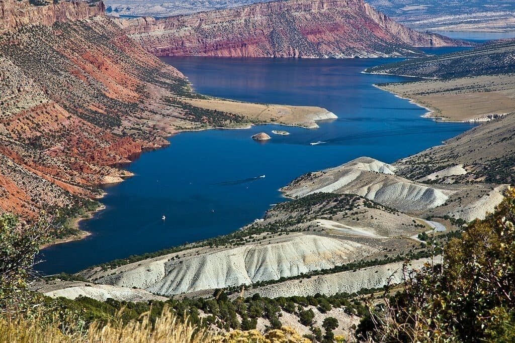
This is the longest stretch between parks, crossing open desert on Highway 24 and I-70 before reaching Canyonlands. The park is split into three districts; Island in the Sky, the most accessible, sits on a mesa with overlooks down into canyons carved by the Green and Colorado Rivers. Dead Horse Point State Park, just outside the park boundary, has one of the most photographed overlooks in the region and isn’t technically part of Canyonlands, so it’s worth budgeting extra time for.
Canyonlands to Arches (30 miles)
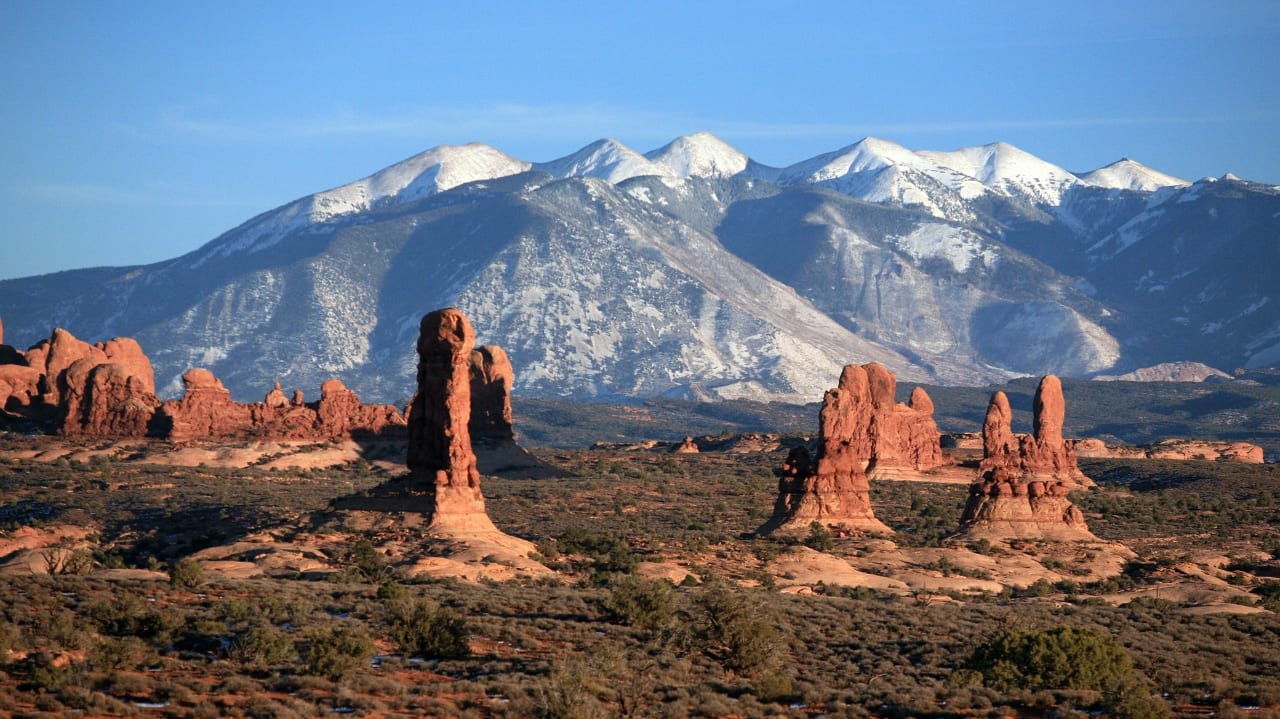
The shortest drive of the trip connects Canyonlands to Arches, both accessible from the town of Moab, which serves as the base for this final stretch. Arches has over 2,000 documented sandstone arches, with Delicate Arch, the state’s most photographed landmark, requiring a 3-mile round-trip hike to reach. The park’s main road can back up with traffic during peak season, since a timed-entry reservation system limits how many vehicles enter per hour.
Use the trip planner to build a day-by-day road trip itinerary based on your available time and starting point.