The Dinosaur Diamond Prehistoric Highway traces a diamond-shaped loop of about 486 miles through eastern Utah and western Colorado, linking Moab, Green River, Price, and Vernal on the Utah side with Rangely, Fruita, and Grand Junction on the Colorado side.
Colorado named its portion a state scenic byway in 1997, Utah followed in 1998, and the Federal Highway Administration combined both into one National Scenic Byway in 2002. The name comes from the sheer density of dinosaur fossils along the route, which sits in what’s been called a real-life Jurassic Park of the American West.
The drive touches two national parks, two national monuments, and a national recreation area, plus roughly 20 individual prehistoric attractions, from working fossil quarries to major paleontology museums. Beyond the dinosaurs, the route also passes Fremont and Ute rock art sites, including Canyon Pintado and Nine Mile Canyon.
It’s a long loop best treated as a multi-day trip rather than a single drive, and most travelers pick a starting point that fits their route in or out of the region rather than following any fixed direction.
Route Details: Dinosaur Diamond Prehistoric Highway
Grand Junction (0 miles)
The loop’s Colorado anchor is Grand Junction, a good base with full services and the region’s most reliable EV charging. From here the byway can be driven clockwise toward Utah or counterclockwise through Rangely first.
Fruita and Dinosaur Journey Museum (12 miles)
Fruita is home to Dinosaur Journey, a museum with mounted skeletons and an active preparation lab where visitors can watch paleontologists work on real fossils. It’s a good first stop for orienting the rest of the drive.
Rangely and Canyon Pintado (60 miles)
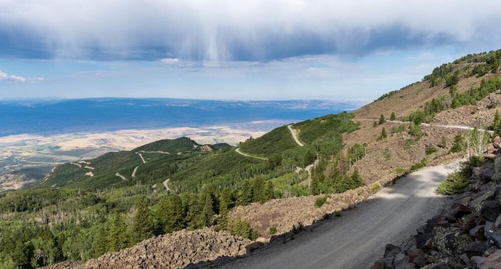
The byway continues north on CO-139 over Douglas Pass to Rangely, passing through Canyon Pintado Historic District, which holds Ute and Fremont pictographs and petroglyphs dating back roughly 1,000 years, including a well-known Kokopelli figure near mile marker 55.5.
Dinosaur, Colorado and Dinosaur National Monument (100 miles)
The town of Dinosaur sits near the Colorado-Utah line, close to Dinosaur National Monument. The monument’s Quarry Exhibit Hall is the highlight of the entire loop, with roughly 1,500 dinosaur bones visible embedded in a cliff wall, viewable up close.
Vernal and the Utah Field House (140 miles)
Vernal is the largest town on the Utah side of the northern leg, home to the Utah Field House of Natural History, one of the state’s major dinosaur museums, along with reliable fast charging installed as part of Utah’s statewide EV network.
Nine Mile Canyon (200 miles)
A detour off the main loop leads to Nine Mile Canyon, sometimes called the world’s longest art gallery for its concentration of Fremont-culture rock art spread across the canyon walls. It’s an unpaved but passable road and one of the best rock art stops in the country.
Price and the Prehistoric Museum (240 miles)
Price is home to the College of Eastern Utah Prehistoric Museum, now known as the USU Eastern Prehistoric Museum, with extensive fossil displays. The nearby Cleveland-Lloyd Dinosaur Quarry, one of the densest dinosaur bone deposits ever found, is a worthwhile detour south of town.
Green River (280 miles)
Green River sits at the junction where the byway turns south toward Moab, and it holds one of the more reliable fast chargers on the Utah side of the loop, useful for anyone continuing on to the desert stretch ahead.
Moab and Arches/Canyonlands (340 miles)
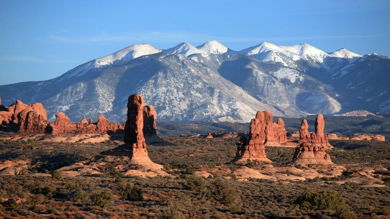
Moab anchors the loop’s southern leg, with access to Arches National Park and Canyonlands National Park on either side of town, plus the byway’s best EV charging infrastructure: an 8-stall, 350 kW fast-charging station built specifically to serve the area’s high visitor volume. UT-128 follows the Colorado River through dramatic red-rock canyons just outside town, one of the most scenic stretches of the entire drive.
Back to Grand Junction via I-70 (486 miles)
The loop closes by following US 191 north from Moab, then I-70 east back across the Utah-Colorado line to Grand Junction, completing the diamond shape the byway is named for.
Use the trip planner to build a day-by-day itinerary based on your available time and starting point.