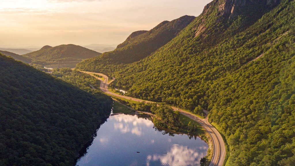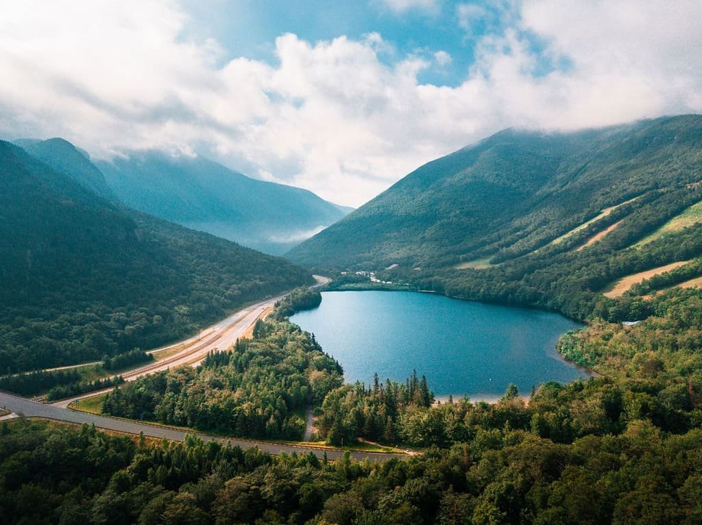
The Kancamagus Highway Byway runs along NH 112 through the White Mountains of New Hampshire, between Conway and Lincoln. It is 34.5 miles through the White Mountain National Forest, with no gas stations, houses, or restaurants along the way.
Locals call it the Kanc. It is named for Kancamagus, the last sagamore of the Penacooks, and it opened in 1959 when two dead-end roads were joined. It was paved in 1964.
The road follows the Swift River and climbs to a pass at 2,855 feet. Most of the stops are waterfalls, overlooks, and short trails, and foliage usually peaks in early to mid-October.
Route Details: Kancamagus Scenic Byway
Mile markers below are my estimates of distance from Conway. Sources disagree on the exact position of several stops.
Conway and North Conway (0 miles)
The byway starts at NH 16 in Conway. The Saco Ranger Station is near the junction and has maps, and North Conway has restaurants and the Conway Scenic Railroad. North Conway has an 8-stall Tesla Supercharger.
Albany Covered Bridge (6 miles)
The Albany Covered Bridge is a 120-foot truss bridge over the Swift River. It sits on Passaconaway Road, a short detour off the highway, and the Boulder Loop trailhead is nearby.
Lower Falls and Rocky Gorge (8-10 miles)
Lower Falls is an easy walk along the river and across a footbridge to a viewing area. Rocky Gorge is a short walk to a bridge over a narrow gorge.
Sabbaday Falls (17 miles)
Sabbaday Falls is the most popular stop on the highway, a 45-foot drop reached by a short, accessible path and wooden steps. Swimming isn’t allowed.
Kancamagus Pass and overlooks (21-28 miles)
The road tops out at the pass, 2,855 feet above sea level. West of it, a run of overlooks includes Sugar Hill, C.L. Graham Wangan Grounds, Pemigewasset Overlook, and Hancock, and one looks over Waterville Valley.
Lincoln Woods and Lincoln (31-34.5 miles)
The Lincoln Woods Visitor Center is a few miles east of Lincoln, and the White Mountain Gateway Visitors Center is in town. Lincoln has a 6-stall Tesla Supercharger and food and lodging.
Use the trip planner to build a day-by-day itinerary based on your available time and starting point.