
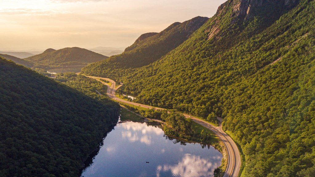
The Connecticut River is the longest in New England, and this Connecticut River Byway follows it along the New Hampshire and Vermont banks, crossing back and forth between the two states on old bridges.
The FHWA gives the byway an official length of nearly 500 miles because it counts both sides of the river. A single-bank drive is much shorter, which makes the route easy to split into weekend sections or to drive in full over a long weekend.
The scenery changes from south to north. Near Massachusetts, the river is wide and slow, with mill towns and brick downtowns. Farther up it narrows, the hills close in, and the towns get smaller, ending in the lake country near the Canadian border.
Most of the appeal is in the stops: covered bridges, town greens, a college campus, old forts, and a lot of roadside farm stands.
Route Details: Connecticut River Byway
Mile markers below are approximate distances along a single-bank drive from the southern end.
Hinsdale (0 miles)
Hinsdale is the first town in New Hampshire on the Connecticut River Byway, a small river town with a bridge over the water and fishing access. It is the usual starting point for a northbound drive from Massachusetts.
Madame Sherri Forest (12 miles)
Madame Sherri Forest sits next to Pisgah State Park in Chesterfield. The stone ruins of the 1920s house of a Broadway costume designer stand in the woods, with a stone staircase still intact, and dog-friendly trails run through the surrounding forest.
Brattleboro (20 miles)
Brattleboro is the largest town in the southern section, with an arts-oriented downtown of brick storefronts, galleries, and restaurants on the Vermont side. It makes a good first overnight stop.
Bellows Falls (40 miles)
Bellows Falls sits at a set of rapids in the river, with a village of Victorian brick blocks above the falls. Ancient carved petroglyphs are visible on rocks near the river when water levels allow.
Charlestown and Fort at No. 4 (50 miles)
The Fort at No. 4 is a reconstructed 1740s frontier fort in Charlestown, New Hampshire, run as a living history museum with costumed interpreters. It covers the region’s colonial-era conflicts on what was then the northwest edge of the English settlements.
Windsor and Cornish (70 miles)
Windsor’s Old Constitution House is the tavern where Vermont’s constitution was adopted in 1777. Just upriver, the Cornish-Windsor Covered Bridge crosses to New Hampshire and is the longest wooden covered bridge in the United States. In Cornish, Saint-Gaudens National Historical Park preserves the home and gardens of the sculptor Augustus Saint-Gaudens.
Hanover and Norwich (95 miles)
Hanover is home to Dartmouth College, with a green ringed by the college’s brick and white-clad buildings and a walkable downtown. Norwich, Vermont, sits directly across the river and has its own small village center.
Fairlee and Bradford (120 miles)
Fairlee, Vermont, has a lakefront stretch on Lake Morey and a small downtown, while Bradford is a quiet river village with a working main street. The stretch between them is one of the more open, pastoral parts of the drive.
Woodsville and Wells River (140 miles)
The twin towns of Woodsville, New Hampshire, and Wells River, Vermont, face each other across the river and share a bridge crossing. From here the terrain shifts toward higher hills and fewer settlements.
Littleton and St. Johnsbury (165 miles)
Littleton, New Hampshire, is known for its long main street and an overhead-bridge riverfront walk. Across the river, St. Johnsbury, Vermont, has the Fairbanks Museum and the Athenaeum art gallery, both worth an hour or two.
Lancaster (185 miles)
Lancaster is the last sizable town before the drive heads into the north country. The Coos County seat has a compact downtown and a working farm and forest economy.
Colebrook (235 miles)
North of Lancaster, the towns thin out and the river becomes narrow and fast. Colebrook is the main service stop for this last leg and a good place to fuel up before continuing north.
Pittsburg and the Connecticut Lakes (275 miles)
Pittsburg is New Hampshire’s northernmost town and covers a large stretch of forest and lake country near the Canadian border, where the Connecticut River begins in a chain of small lakes. There are few services here, so plan food and fuel ahead of time.
Use the trip planner to build a day-by-day itinerary based on your available time and starting point.