The Grand Mesa Scenic and Historic Byway climbs 63 miles from the high desert near Palisade to the orchard town of Cedaredge, crossing what’s locally known as the world’s largest flat-top mountain along the way.
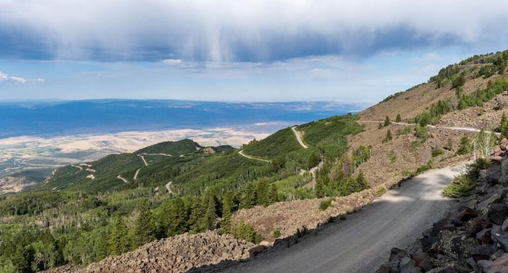
The Ute people who lived in this region called Grand Mesa Thunder Mountain, for how it towers over the valley some 6,000 feet below. In 1933, the Civilian Conservation Corps built what’s now called Land’s End Road, a twisting route to the mesa’s top that remains one of the byway’s standout detours. Colorado designated the route a state Scenic and Historic Byway in 1991, and it earned National Scenic Byway status in 1996.
Starting near I-70 outside Palisade, the road climbs through Plateau Canyon, paralleling a twisting creek before breaking out onto the mesa top at nearly 11,000 feet. The landscape shifts dramatically along the way, from high desert brush to fir and spruce forest, with more than 300 lakes dotting the plateau.
The route is officially a Colorado Electric Byway, with charging available near both ends, making it one of the more EV-friendly mountain drives in the state despite its remote alpine terrain.
Route Details: Grand Mesa Scenic and Historic Byway
I-70 and Plateau Canyon (0 miles)
The byway begins at I-70 Exit 49, about 5 miles east of Palisade, where Colorado Highway 65 turns south into Plateau Canyon. The road parallels a twisting creek through this opening stretch, climbing steadily away from the Grand Valley below.
The climb to the mesa top (20 miles)
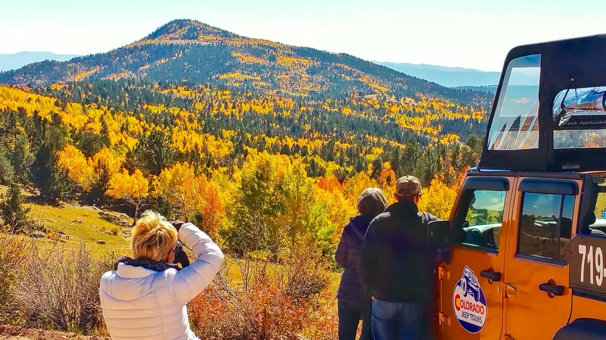
As the highway gains elevation, the vegetation shifts from high desert brush to dense fir and spruce forest. This stretch is where the byway’s dramatic elevation change becomes most obvious, with temperatures dropping noticeably as the road climbs toward 11,000 feet.
Land’s End Overlook spur (30 miles)
A 12-mile spur road leads west to the Land’s End Overlook, built along the Civilian Conservation Corps’ 1933 Veteran Road. The overlook gives sweeping views across the Grand Valley and distant mountain ranges, and two restored cabins from the historic Raber Cow Camp sit nearby, relics from when ranchers summered cattle on the mesa top before trucks made same-day trips possible.
Mesa Lakes and Lake Cobbett (40 miles)
Back on the main route, the byway passes Mesa Lakes Lodge, named for the seven lakes surrounding it, and continues to Lake Cobbett, home to the Grand Mesa Visitor Center in a log building with walking trails along the water. With more than 300 lakes scattered across the mesa top, this stretch is a major draw for anglers.
Mesa Top Trailhead (48 miles)
The Mesa Top Trailhead marks the start of a 15-mile trail that circles the mountain rim, with views looking down on Cedaredge and Delta in the distance. It’s a good stop for anyone wanting to add a short hike before the final descent.
Descent into Cedaredge (58 miles)
South of the mesa top, the byway begins a twisting ten-mile descent toward Cedaredge, passing orchards and farm stands as the terrain opens back up into agricultural valley land.
Cedaredge (63 miles)
The byway ends in Cedaredge, where three remaining silos mark the site of the historic Pioneer Town. Stoney Mesa Winery, one of Colorado’s first established wineries, and the Cedaredge Golf Course, with views of both Grand Mesa and the San Juan Mountains, round out the town. The annual AppleFest each fall is one of the best times to end the drive here.
Use the trip planner to build a day-by-day itinerary based on your available time and starting point.