The Geronimo Trail National Scenic Byway loops roughly 154 miles through Sierra County, New Mexico, in a rough half-circle around the Aldo Leopold Wilderness, named for the Chiricahua Apache warrior who once said he was born near the headwaters of the nearby Gila River.
New Mexico designated the route a state byway in 1995, and it earned National Scenic Byway status in 2005. After Geronimo’s surrender to General Nelson Miles in 1886, prospectors flooded into this part of southern New Mexico, and the boom-and-bust mining towns they built, Hillsboro, Kingston, Winston, and Chloride, still define much of what the byway passes today.
The route splits into three connected legs, all centered on Truth or Consequences: a northern leg toward Winston and the Beaverhead Ranger Station, a southern leg toward Hillsboro and San Lorenzo, and a short central stretch along the Rio Grande connecting the two. Nearly every town in Sierra County sits somewhere along the byway.
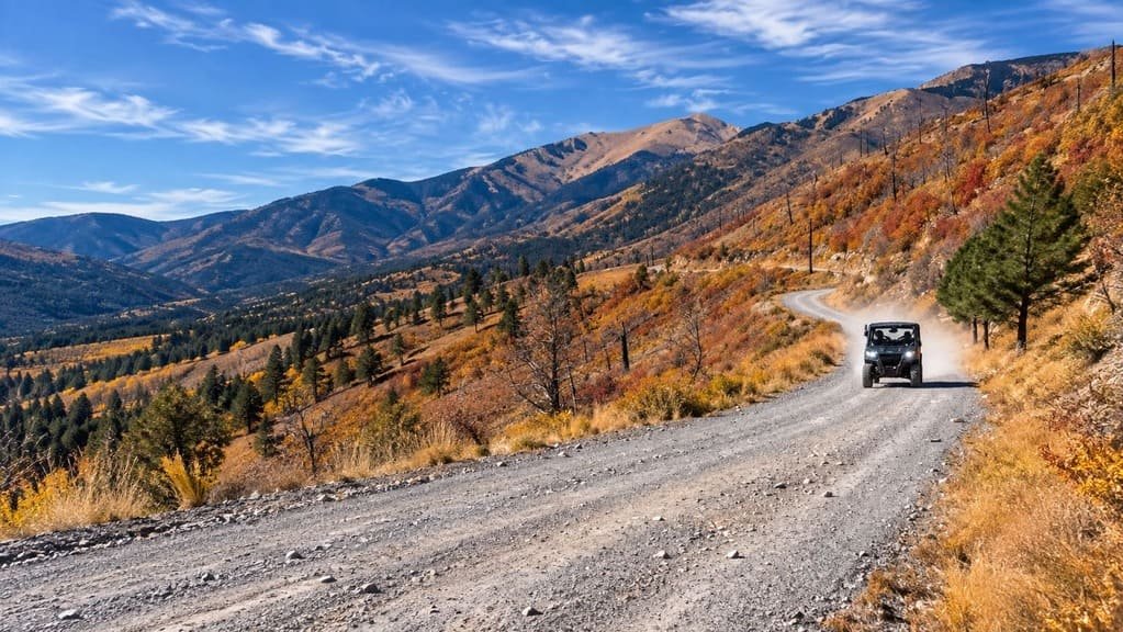
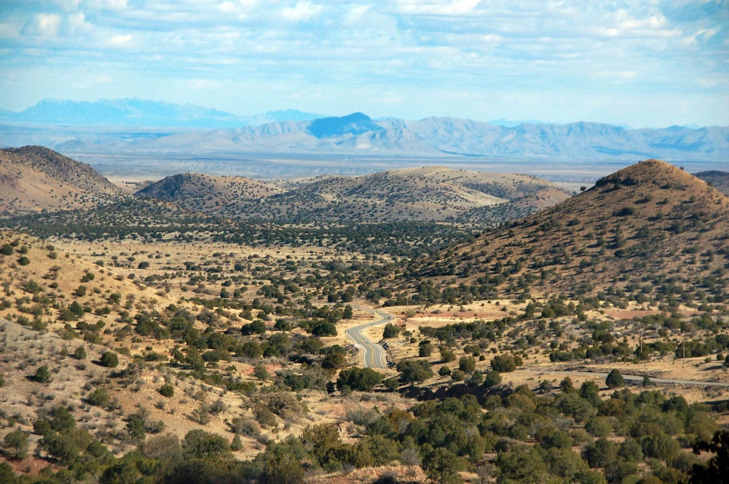
This is a remote drive by any standard. Fuel runs out for stretches as long as 36 miles, and the Black Range mountains the road crosses stay forested and undeveloped, well off the beaten path, which is a large part of the appeal for travelers looking for genuine Old West isolation.
Route Details: Geronimo Trail National Scenic Byway
Truth or Consequences (0 miles)
The byway’s center point is Truth or Consequences, where the Geronimo Springs Museum serves as the trail’s visitor and interpretive center, covering the region’s Apache history, mining era, and the town’s unusual 1950 renaming after a radio quiz show. It’s the natural place to start either leg of the drive.
Caballo Lake and the southern turn (15 miles)
Heading south from Truth or Consequences, the byway passes Caballo Lake State Park before reaching the junction with NM 152, where the route turns west toward the Black Range. This stretch follows the Rio Grande before climbing into drier, rockier terrain.
Hillsboro (47 miles)
Hillsboro, founded in 1877 during a gold and silver rush, is one of the best-preserved towns on the byway, still active today and known for its March Bookfest and mid-May Heritage Music Festival. It also connects to the Lake Valley Back Country Byway, a separate scenic route heading south.
Kingston (56 miles)
Kingston sits nine miles past Hillsboro, once a boomtown that shared the same silver rush, now reduced to a single intact historic building, the old Percha Bank, now run as a small museum. It’s one of the quietest, most genuinely ghost-town stops on the drive.
San Lorenzo (83 miles)
The southern leg ends at San Lorenzo, where NM 152 meets NM 35. No fuel is available for the full 36-mile stretch between Hillsboro and San Lorenzo, so this leg requires planning ahead regardless of what’s driving the vehicle.
Cuchillo and the northern turn (20 miles from Truth or Consequences)
Heading north instead, the byway passes through Cuchillo, a small community named for nearby Cuchillo Negro Creek and once a stagecoach stop between the railroad at Engle and the mines at Winston and Chloride.
Winston (57 miles from Truth or Consequences)
Winston, originally called Buena Vista, grew up as the calmer counterpart to nearby Chloride during the silver boom. It still functions today as a small ranching center with a general store, bar, café, and post office, and open-range cattle are a common sight on the road nearby.
Chloride (61 miles from Truth or Consequences)
A short detour from Winston leads to Chloride, founded in 1879 after a silver chloride discovery and home to roughly 3,000 people at its peak before the Silver Panic of 1893 wiped out the town’s economy. The Pioneer Store Museum here preserves an 1880s general store largely as it was left.
Beaverhead Ranger Station (88 miles from Truth or Consequences)
The northern leg ends at the Beaverhead Ranger Station, deep in the Gila National Forest near the Continental Divide National Scenic Trail. No fuel is available for the 62-mile round trip between Winston and Beaverhead, making this the most remote stretch of the entire byway.
Use the trip planner to build a day-by-day itinerary based on your available time and starting point.