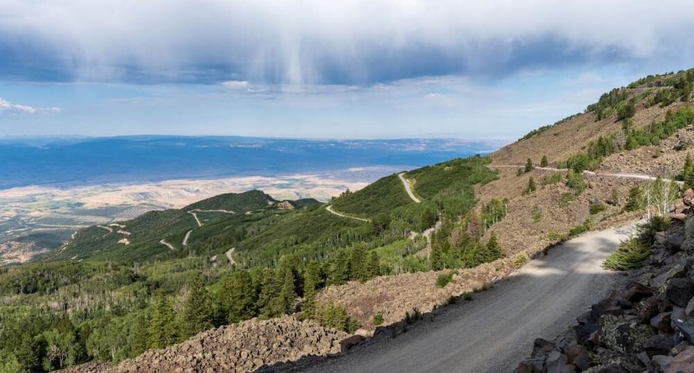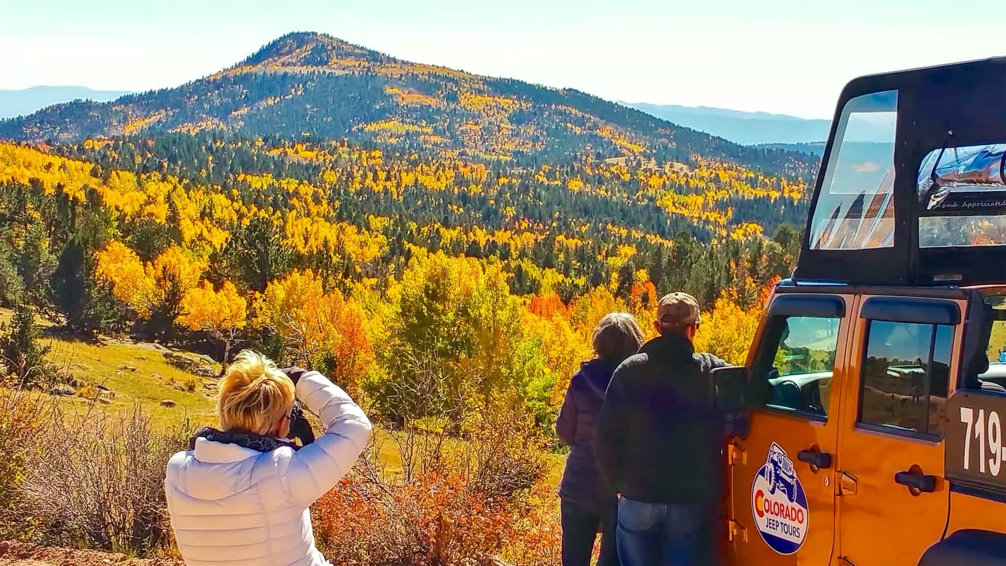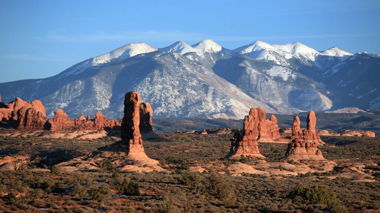
The Frontier Pathways Scenic and Historic Byway traces a wishbone-shaped 103-mile route through the Wet Mountains of south-central Colorado, climbing from 4,600 feet near Pueblo to 9,400 feet at its highest point.
This stretch of country marked the overlap of Native American, Spanish, French, and American territory for generations. Ute Indians traveled it first, followed by Spanish and American explorers, then fur trappers, homesteaders, ranchers, and gold prospectors, all of whom left traces still visible along the route today.
The U.S. Secretary of Transportation designated it a National Scenic Byway in 1998, one of 13 such routes in Colorado. The drive splits into two legs from a junction near Hardscrabble Canyon: one follows Highway 96 west to Westcliffe, the other follows Highway 165 south through San Isabel National Forest to Rye and Colorado City, with travelers backtracking 16 miles to connect the two.
Victorian-era towns, former cattle ranches, and old mining buildings line the route, set against the 100-mile-long Sangre de Cristo Mountains. It’s a drive built for slowing down at small towns rather than racking up miles quickly.
Route Details: Frontier Pathways Scenic and Historic Byway
Pueblo (0 miles)
The byway begins in Pueblo, where Lake Pueblo State Park sits just west of the city, centered on a reservoir of more than 4,000 acres popular for boating and fishing. Pueblo has the drive’s fullest services, though its EV charging remains limited to mostly Level 2 stations.
Wetmore (29 miles)
Highway 96 climbs steadily west from Pueblo to Wetmore, a small unincorporated community at the base of the Wet Mountains. The Wetmore Historical Society preserves local history here, and the transition from high plains grassland to foothill juniper and pinon is noticeable on this stretch.
Silver Cliff and Westcliffe (56 miles)
The western leg continues to the towns of Silver Cliff and Westcliffe, both designated International Dark Sky Communities, making this stretch a notable stop for stargazing. Westcliffe has the fullest services on this side of the loop.
Hardscrabble Canyon and the route split (72 miles)
Backtracking east on Highway 96, the byway reaches the junction with Highway 165 near Hardscrabble Canyon, where the southern leg of the route branches off toward Rye and Colorado City through San Isabel National Forest.
Bishop’s Castle (85 miles)
On Highway 165, Bishop’s Castle is one of the most unusual roadside attractions in Colorado: a 160-foot stone castle built largely by one man, Jim Bishop, over several decades. It’s free to visit and widely described as the largest one-man construction project in the country.
Lake Isabel and Bigelow Divide (92 miles)
Past Bishop’s Castle, the byway passes Lake Isabel and climbs to the Bigelow Divide summit at 9,350 feet, the highest point on the route. San Isabel National Forest surrounds the road here, with dispersed camping available along much of this stretch.
Rye (98 miles)
Rye, founded in 1870 and home to around 200 people, sits in the Greenhorn Valley near the byway’s end. The white United Methodist Church on Main Street is a small but notable local landmark, and Rye Mountain Park offers additional hiking a short distance off the main route.
Colorado City (103 miles)
The byway ends at Colorado City, near I-25. A newer DC fast charger installed through Colorado’s EV Trail initiative gives this end of the route better charging access than it had a few years ago, though the corridor overall still has real gaps.
Use the trip planner to build a day-by-day itinerary based on your available time and starting point.