The Edisto Island National Scenic Byway covers just 17 miles, but it carries travelers through one of the quietest, least developed stretches of South Carolina’s coast, running along SC Highway 174 from the Intracoastal Waterway to the Atlantic Ocean.
South Carolina first named the road a state scenic byway in 1988, and the Department of Transportation added National Scenic Byway status in 2009. The route replaced Wescott Road, an old oak-lined path locals associate with the original King’s Highway, a colonial-era road laid out in the late 1600s to connect Charleston and Boston. A short stretch of that original road is still drivable and listed on the National Register of Historic Places.
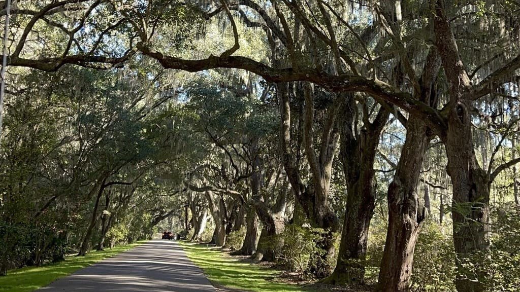
The drive passes salt marsh, maritime forest, farm fields, and historic churches under a canopy of live oaks draped in Spanish moss, with more than half of Edisto Island’s land protected from development. It’s one of four National Scenic Byways in South Carolina, alongside the Cherokee Foothills Scenic Highway and the Savannah River Scenic Byway.
Given its short length, it’s less a full day trip on its own and more a scenic approach to Edisto Beach, often paired with Charleston or the ACE Basin for a longer Lowcountry itinerary.
Route Details: Edisto Island National Scenic Byway
McKinley Washington Jr. Bridge (0 miles)
The byway begins at the foot of the McKinley Washington Jr. Bridge, also called the Dawhoo Bridge, which spans the Intracoastal Waterway. The current fixed-span bridge was completed in 1993, replacing an earlier swing bridge that had connected the island since the 1930s.
Russell Creek and the Windsor House (3 miles)
Just past the bridge, the Russell Creek Bridge overlooks the Windsor House, an 1858 clapboard plantation residence that Union soldiers occupied during the Civil War. It’s one of the first points of interest on the byway and a good early stop for photos.
Edisto Island’s historic churches (6 miles)
The byway passes several historic churches scattered along SC 174, reflecting the island’s long settlement history. This stretch runs under a canopy of live oaks that’s one of the most photographed parts of the drive.
Edisto Island Museum (9 miles)
The Edisto Island Museum covers the island’s history across several eras, including exhibits on slavery and freedom and the Edisto Indians, the island’s original inhabitants. The museum occasionally runs tours of nearby historic sites, including Middleton Plantation.
Botany Bay Plantation Heritage Preserve (12 miles)
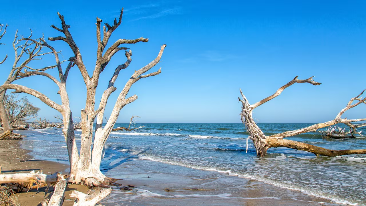
A detour off the byway leads to Botany Bay Plantation, a 4,600-acre heritage preserve with a self-guided driving tour through former plantation land now managed for wildlife. It’s one of the best stops on the island for seeing the Lowcountry’s barrier island landscape before development changed most of the coast.
Edisto Island Serpentarium (14 miles)
The Edisto Island Serpentarium is a long-running local attraction with indoor and outdoor exhibits of snakes and alligators native to the region, a popular stop for families making the drive.
Edisto Beach (17 miles)
The byway ends at Edisto Beach, near the entrance to Edisto Beach State Park, which sits at the edge of the ACE Basin National Wildlife Refuge. The park’s interpretive center covers the surrounding ecosystem, and a trail through maritime forest leads to a shell mound the Edisto Indians created around 2000 B.C.
Use the trip planner to build a day-by-day itinerary based on your available time and starting point.