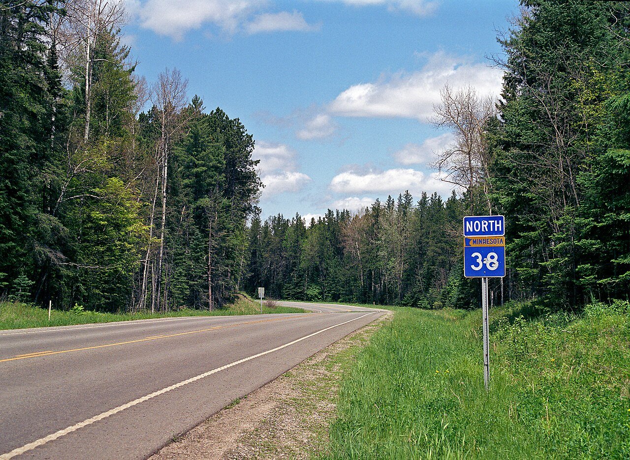
The Edge of the Wilderness Scenic Byway runs 47 miles along Minnesota Highway 38, from Grand Rapids north to the small town of Effie, cutting straight through the Chippewa National Forest.
The road dates to 1933, built originally as a logging route through what was then a sparsely settled stretch of north-central Minnesota. It kept its twisting, unstraightened character even as it became a tourist drive, and it holds the distinction of being the first National Scenic Byway designated in the state.
Voyageurs and loggers used this general corridor long before the highway existed, and the drive still passes more wetlands and lakes than any other national forest route in Minnesota, alongside tamarack bogs, rolling hills, and mixed hardwood forest that turns gold, orange, and red each fall.
It’s a short, easy drive by national byway standards, built more for slowing down and fishing a different lake every half hour than for covering serious mileage.
Route Details: Edge of the Wilderness Scenic Byway
Grand Rapids (0 miles)
The byway begins at the edge of downtown Grand Rapids, near the historic Central School. Grand Rapids grew up as a logging town on the Mississippi River, and the Forest History Center here recreates a turn-of-the-20th-century logging camp. It’s also the hometown of Judy Garland, and the Judy Garland Museum sits a short drive from the byway’s start.
Prairie Lake and the Chippewa National Forest entrance (13 miles)
North of Grand Rapids, the byway enters the Chippewa National Forest proper, passing Prairie Lake, known locally for bullhead, bass, pike, walleye, and perch. This stretch sets the tone for the rest of the drive: lake after lake, with pull-offs for fishing access along the way.
Pug Hole Lake and Wabana Lake (20 miles)
The byway continues past Pug Hole Lake and the Wabana Lake resort area, one of several lakeside communities that have drawn Minnesota vacationers for generations. Trout Lake, a bit farther north, adds another stop for anyone looking to break up the drive with a short fishing detour.
Marcell and the Discovery Center (29 miles)
Marcell sits just past the byway’s midpoint and is home to the Edge of the Wilderness Discovery Center, with exhibits, a gift shop, and an environmental education room covering the route’s history and ecology. It’s open seasonally, so it’s worth checking hours before planning around it. Marcell is also home to a Chippewa National Forest ranger station.
Old Joyce Estate Trail (33 miles)
Near Marcell, a hiking trail leads to the ruins of the old Joyce Estate, a millionaire’s vacation hideaway from the early 1900s, now mostly reclaimed by the forest. A Discovery Site sign along the trail explains the site’s history for anyone who wants to make the short hike.
Remaining lakes and bogs toward Effie (33-47 miles)
The final stretch of the byway continues through more forest, bogs, and lakes, with numbered green Discovery Site signs marking cultural and historical points along the way. Bald eagles are a common sight overhead on this quieter northern leg.
Effie (47 miles)
The byway ends in Effie, a small town known locally for its oversized roadside mosquito statue and bucking bronco display, a lighthearted close to a drive otherwise built around quiet forest and lake scenery. From here, travelers typically continue on Highway 1 toward other parts of northern Minnesota.
Use the trip planner to build a day-by-day itinerary based on your available time and starting point.