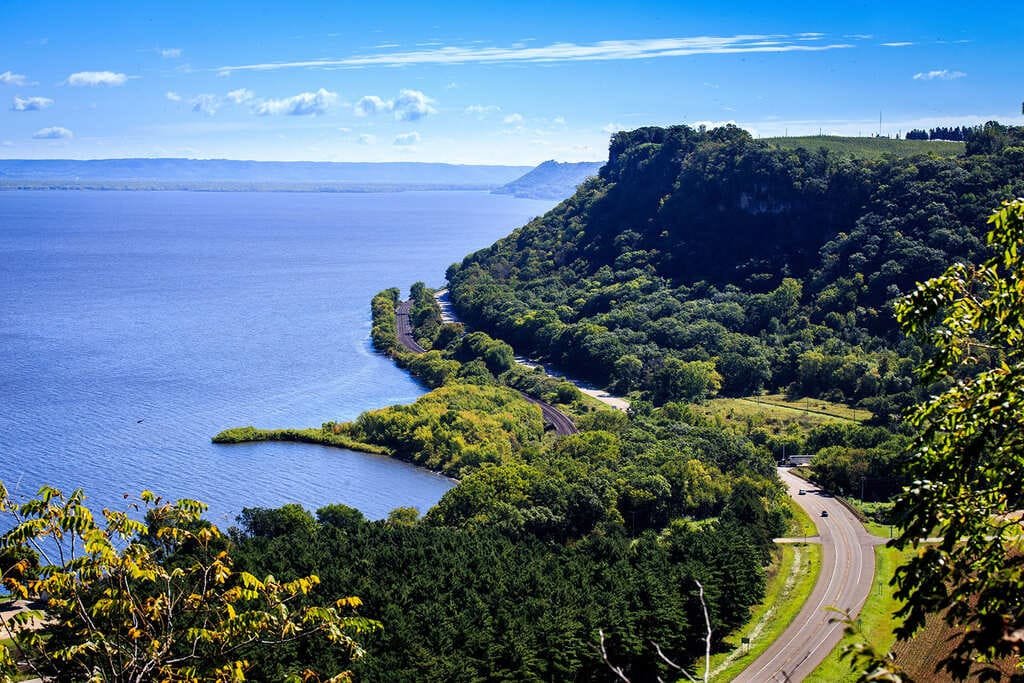
Crowley’s Ridge Parkway is a strange piece of geology: a narrow band of wind-deposited soil rising up to 200 feet above the flat Mississippi Delta around it, with only one other formation like it anywhere in the world, in Siberia. Crowley’s Ridge Parkway follows its crest for roughly 198 miles through northeast Arkansas, becoming the state’s first National Scenic Byway in 1998.
The ridge takes its name from Benjamin Crowley, an early settler who received the land for service in the War of 1812. Long before that, it served as the only reliably dry travel corridor through an otherwise swampy stretch of the Delta, used first as a buffalo trace, then a Native American trail, then a postal and military road. Union cavalry crossed it in 1863 on a campaign that ended with the capture of Little Rock.
The byway itself isn’t one continuous highway. It’s stitched together from 17 different roads, plus a few county roads and city streets, all designated collectively to keep travelers on the high ground rather than the interstate below. Eight counties and eleven communities sit along the route, and six state parks lie adjacent to it.
It’s a low-key drive by most byway standards, more about farmland, small towns, and quiet history than dramatic scenery, though the final approach into Helena through St. Francis National Forest changes that character noticeably.
Route Details: Crowley’s Ridge Parkway
St. Francis (0 miles)
The byway begins in St. Francis, a small town of a few hundred people near the Missouri line. The Missouri portion of the byway, about 14 miles through the Bootheel, connects here before the route turns south into Arkansas proper.
Paragould (25 miles)
Paragould is one of the larger towns on the byway, with a walkable downtown and enough services to make a good early stop. From here, the parkway continues toward Jonesboro through more hardwood forest, prairie patches, and farmland typical of the ridge.
Jonesboro (45 miles)
Jonesboro is the largest city on the route and home to Arkansas State University. It has the most developed downtown along the parkway, along with the most reliable services, including the best EV charging infrastructure on the whole drive.
Lake Frierson and Crowley’s Ridge State Park (60 miles)
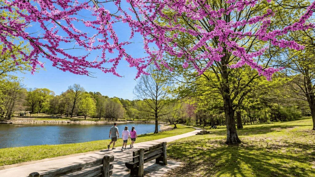
South of Jonesboro, the byway passes near Lake Frierson State Park and Crowley’s Ridge State Park, both built around small lakes with fishing, camping, and picnic areas. The Crowley’s Ridge Nature Center, set on 160 wooded acres, gives a good introduction to the ridge’s unusual ecology before continuing south.
Wynne and Parkin Archeological State Park (100 miles)
Wynne sits at the edge of the byway, and a short detour leads to Parkin Archeological State Park, a Mississippian-era Native American village site along the St. Francis River, believed by some historians to be a village visited by Hernando de Soto’s expedition in 1541.
Forrest City (115 miles)
Forrest City is one of the larger towns on the southern half of the byway, with a historic downtown reflecting the area’s agricultural economy. It’s a reasonable stop for food before the route continues toward the Delta’s more rural stretches.
Marianna (140 miles)
Marianna marks the transition into the byway’s final, wooded leg. From here, the parkway enters the St. Francis National Forest, and the landscape shifts from open farmland back to dense hardwood forest along the ridge.
St. Francis National Forest and Village Creek State Park (165 miles)
The parkway forms the western boundary of Village Creek State Park before entering St. Francis National Forest, where about 11.5 miles of the route run on well-maintained gravel road, the only unpaved stretch on the byway. This section is the most scenic on the drive, with the ridge narrowing and dropping toward the Mississippi River valley.
Helena-West Helena (198 miles)
The byway ends in Helena-West Helena, on the Mississippi River. The Cherry Street Historic District downtown reflects the town’s river-trade history, and Helena sits at the junction with the Great River Road, making it a natural connection point for a longer Delta road trip.
Use the trip planner to build a day-by-day itinerary based on your available time and starting point.