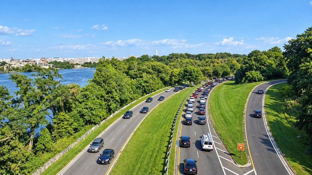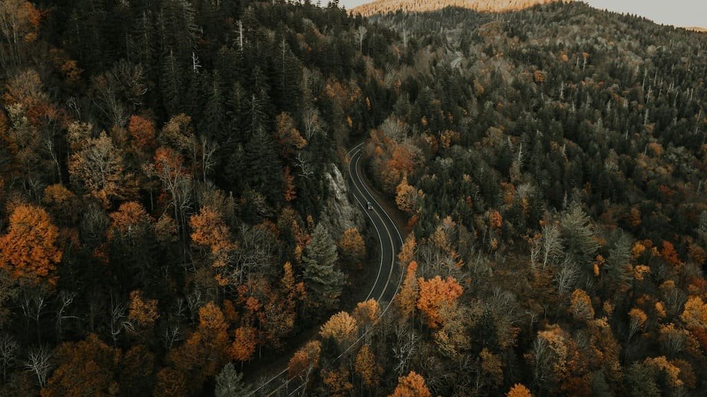
The Colonial Parkway covers just 23 miles, but it connects the three places most responsible for the country’s founding story. The road links Jamestown, site of the first permanent English settlement in North America, to Williamsburg, Virginia’s colonial capital, to Yorktown, where the Revolutionary War effectively ended.
The National Park Service and the Bureau of Public Roads built the parkway between 1931 and 1957, deliberately designing its curves and brick bridges to evoke a colonial-era feel rather than a modern highway. No commercial development interrupts the drive at any point, a rare thing for a road connecting three major tourist destinations.
The route follows the James River out of Jamestown, cuts inland through wooded corridors, passes under Williamsburg near its midpoint, then follows the York River into Yorktown. Numerous pull-offs along both riverfronts give walking access to marshes, birdwatching spots, and historical markers explaining what happened on that stretch of ground.
It’s a short enough drive to do in an afternoon, but the three towns it connects easily fill a multi-day trip on their own, which makes the parkway less a destination itself and more the connective tissue for one of the most concentrated history trips in the country.
Route Details: Colonial Parkway
Jamestown (0 miles)
The parkway begins at Jamestown Island, where English colonists established the first permanent English settlement in North America in 1607. Historic Jamestowne preserves the original fort site and ongoing archaeological digs, while the nearby Jamestown Settlement offers a more built-out living history experience with replica ships and a recreated fort.
James River pull-offs (0-3 miles)
Leaving Jamestown, the parkway follows the James River for about three miles before turning inland. This stretch has some of the route’s best river views, along with informational panels covering both the area’s colonial history and its tidal marsh ecology, and it’s a good spot for spotting herons and egrets.
Glasshouse Point and Virginia’s Festival Park (4 miles)
Near Glasshouse Point, the parkway passes Jamestown Settlement’s living-history campus and the site of America’s first industrial enterprise, a glassblowing operation the colonists attempted in the early 1600s. A working glasshouse demonstration still operates near the original site.
Wooded corridor to Williamsburg (5-9 miles)
After crossing Powhatan Creek, the parkway turns east and runs through dense woodland, crossing marshes at Halfway Creek and King Creek before reaching Williamsburg. This shaded middle stretch is thick with sycamore and oak, making it one of the most scenic sections of the drive regardless of season.
Williamsburg (9-14 miles)
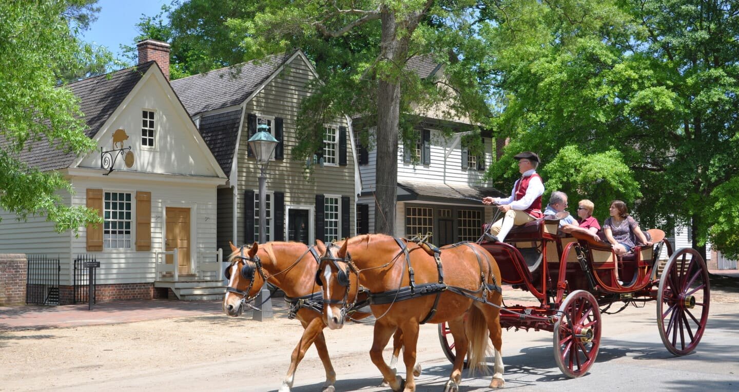
Williamsburg served as Virginia’s colonial capital from 1699 to 1780, and Colonial Williamsburg today preserves more than 600 restored or reconstructed buildings across a 301-acre site. Duke of Gloucester Street, the town’s main car-free thoroughfare, holds many of the best-known historic buildings and costumed interpreter demonstrations.
East toward Yorktown (15-20 miles)
Leaving Williamsburg, the parkway continues east through more tidal marsh and woodland, crossing Jones Mill Pond, where migrating waterbirds gather in large numbers during winter. This stretch mirrors the earlier James River leg, but along the York River watershed instead.
Yorktown (23 miles)
The parkway ends at Yorktown, where the Continental Army and French allies forced the surrender of British General Cornwallis in 1781, effectively ending the Revolutionary War. The Yorktown Battlefield and the American Revolution Museum sit right at the parkway’s terminus, closing out the drive with the event that made everything upstream at Jamestown and Williamsburg permanent.
Use the trip planner to build a day-by-day itinerary based on your available time and starting point.