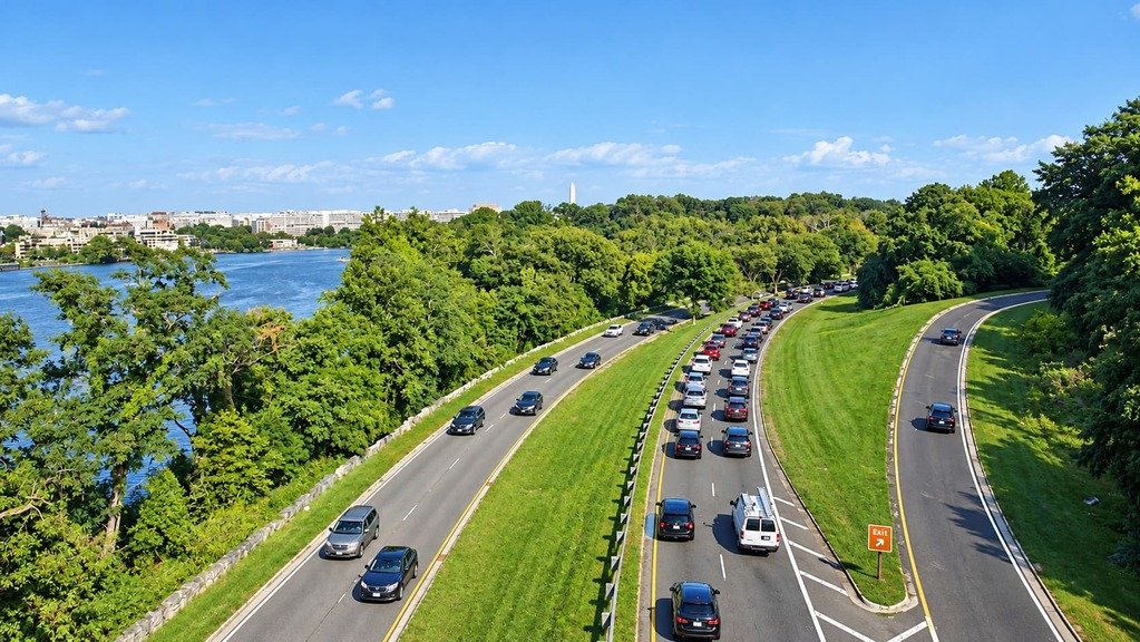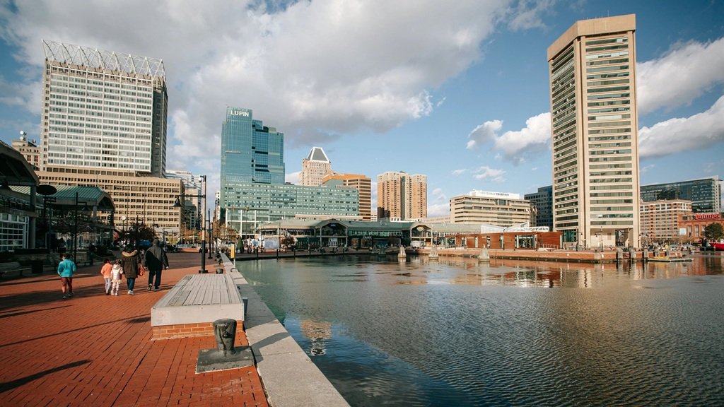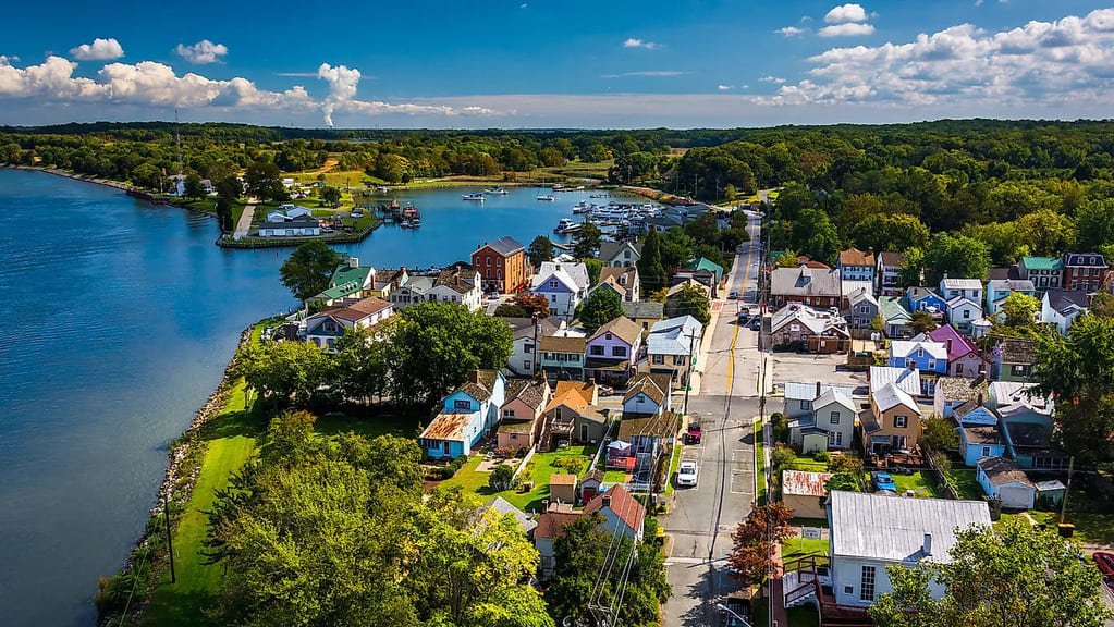
The Chesapeake Country Scenic Byway is less a single drive than a long, looping tour of Maryland’s Eastern Shore, running 419 miles along some of the prettiest roads in the Mid-Atlantic from Chesapeake City down to Crisfield.
It follows roads that have connected Chesapeake Bay communities since the first settlers arrived in the 1600s, and the Federal Highway Administration recognized it as an All-American Road in 2021, the highest designation in the national byway program.
The route strings together waterfront towns, colonial-era farmland, wildlife refuges, and lighthouses, with the Eastern Shore historically known as the Breadbasket of the Revolution for the grain it shipped to Washington’s army. It’s a byway built for grazing rather than driving straight through — most guides recommend a long weekend at minimum.
Given the distance, this guide breaks the route into its natural upper, middle, and lower Eastern Shore segments, any one of which works as a standalone day trip if the full 419 miles isn’t in the cards.
Route Details: Chesapeake Country Scenic Byway
Chesapeake City (0 miles)
The byway begins in Chesapeake City, a town at the western end of the Chesapeake and Delaware Canal. The canal itself, with its working bridge over the water, is the first landmark travelers see before heading south.
Cecilton, Georgetown, and the Sassafras River (20 miles)
The byway heads south on MD 213 to Cecilton, then crosses the Sassafras River and passes through Georgetown, a community the British burned during the War of 1812. This stretch runs through cornfields and soybean plots typical of the Upper Shore’s farm country.
Galena and Kennedyville (35 miles)
The byway continues along MD 213 through Galena and Kennedyville. Between the two towns, Crow Farm and Vineyard offers a farmstay bed-and-breakfast along with local wines and grass-fed beef, one of several agritourism stops along this leg.
Stevensville and the Chesapeake Bay Bridge (55 miles)
The national byway segment runs from Stevensville, near the Chesapeake Bay Bridge, up to the C&D Canal in Chesapeake City, making Stevensville a natural midpoint. It sits on Kent Island, about an hour from Washington, D.C., and a state-designated extension of the byway crosses the Bay Bridge from here into Annapolis before returning to the Eastern Shore.
Wye Mills (65 miles)
Wye Mills is home to the Old Wye Grist Mill, the oldest continuously working water-powered grist mill in the country, which shipped flour to the Continental Army under George Washington during the Revolution. It’s a short, worthwhile stop for the working machinery alone.
St. Michaels (85 miles)
St. Michaels is one of the byway’s signature stops. The Chesapeake Bay Maritime Museum sits on an 18-acre waterfront campus overlooking the Miles River, with exhibits on Bay culture, a lighthouse, and shipbuilding demonstrations. Nearby, Long Wharf remains a working waterfront where watermen dredge for oysters and catch crabs much as their predecessors did.
Denton and the Choptank River (120 miles)
A sidetrack to Denton leads to the Choptank River waterfront and the Museum of Rural Life, which covers centuries of Eastern Shore agricultural history. This detour is a good stop for travelers interested in the region’s farming heritage beyond the waterfront towns.
Cambridge and Blackwater National Wildlife Refuge (150 miles)
South of Denton, the byway reaches Cambridge before continuing toward Blackwater National Wildlife Refuge, Hoopers Island, and Elliott Island — marshland nicknamed Maryland’s Everglades. The refuge is one of the best bald eagle viewing spots on the entire Eastern Shore.
Vienna and the Nanticoke River (180 miles)
Vienna carries a rich Nanticoke River and Chesapeake Bay legacy, and from here the byway splits into two travel options — one heading toward Federalsburg, the other toward Salisbury, the region’s largest urban center.
Crisfield (419 miles)
The byway ends in Crisfield, once known as the Seafood Capital of the World for its blue crab and oyster industry. It’s the departure point for ferries to Smith Island, home of the layered Smith Island cake that shows up on menus throughout the drive, and a fitting endpoint for a route built around Chesapeake Bay seafood culture.
Use the trip planner to build a day-by-day itinerary based on your available time and starting point.