The Cherokee Foothills Scenic Highway runs 112 miles along South Carolina’s SC Highway 11, tracing the southern edge of the Blue Ridge Mountains from Fair Play near the Georgia line to Gaffney near North Carolina.
The road follows the route of the old Cherokee Path, a trade corridor used by the Cherokee people and later by English and French fur traders, long before it carried any pavement. What the Cherokee called the Great Blue Hills of God still frame most of the drive.
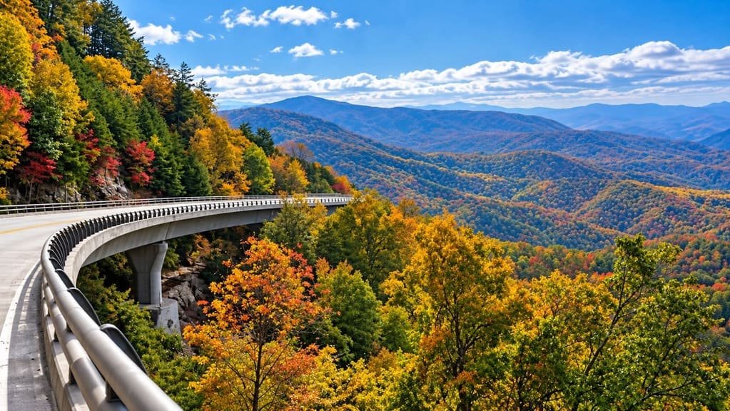
It functions today as the scenic alternative to Interstate 85, which runs a more direct but far less interesting line through the same part of the state. SC 11 instead winds past lakes, orchards, waterfalls, and small towns, staying close enough to the mountains to catch consistent views without actually climbing into them.
The route crosses five counties — Oconee, Pickens, Greenville, Spartanburg, and Cherokee — and touches enough Revolutionary War history, from Cowpens to the Overmountain Victory Trail, that it works as well for history as for scenery.
Route Details: Cherokee Foothills Scenic Highway
Fair Play and Lake Hartwell (0 miles)
The highway begins near Fair Play at I-85, close to Lake Hartwell on the Georgia border. This stretch runs through Oconee County past the lake, with access points for boating and fishing before the road turns north toward Walhalla and the foothills proper.
Walhalla and Lake Keowee (20 miles)
Past Walhalla, the highway runs near Lake Keowee, a clear reservoir popular for trout and bass fishing. Rafting and kayaking outfitters operate a short distance off the byway here, taking advantage of the whitewater rivers that drain out of the mountains above.
Table Rock State Park (45 miles)
Table Rock State Park sits just off the highway near the town of Pickens, centered on the granite dome of Table Rock Mountain, visible for miles across the surrounding hills. The park has hiking trails to the summit and a lake for swimming and fishing, and it’s one of the most-visited stops on the route.
Caesars Head State Park (55 miles)
Caesars Head is where the highway earns its reputation as a driving road, climbing into the Blue Ridge Escarpment with overlooks facing Table Rock from the opposite direction. The granite outcropping at Caesars Head gives a view over the Blue Ridge foothills that’s among the most photographed spots on the byway.
Poinsett Bridge (65 miles)
Just off the highway near Cleveland, Poinsett Bridge is an 1820 stone arch bridge, the oldest bridge still standing in South Carolina. It was built as part of an early state road connecting the Upstate to North Carolina and is now a small, quiet historic site rather than a functioning crossing.
Landrum and Campobello (85 miles)
Landrum is a small town with a walkable main street that makes a natural lunch stop, surrounded by orchards that put the byway’s apple-growing reputation on display, especially in late summer and fall. The road continues through Campobello toward Spartanburg County.
Cowpens National Battlefield (105 miles)
Near Chesnee, a short detour off the highway leads to Cowpens National Battlefield, the site of a decisive 1781 Revolutionary War victory where General Daniel Morgan’s forces defeated Banastre Tarleton’s British troops. The site has a walking trail, a driving tour, and a visitor center.
Gaffney (112 miles)
The byway ends in Gaffney, marked by the Peachoid, a water tower shaped and painted like a giant peach that’s become a local landmark. The Cherokee County History & Arts Museum downtown covers the area’s Native American, Revolutionary War, and textile history for travelers who want to close out the drive with more context.
Use the trip planner to build a day-by-day itinerary based on your available time and starting point.