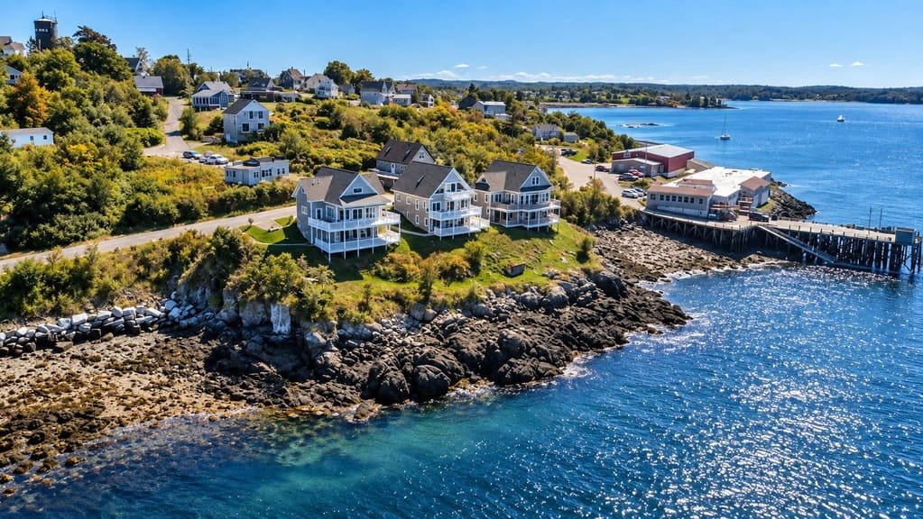
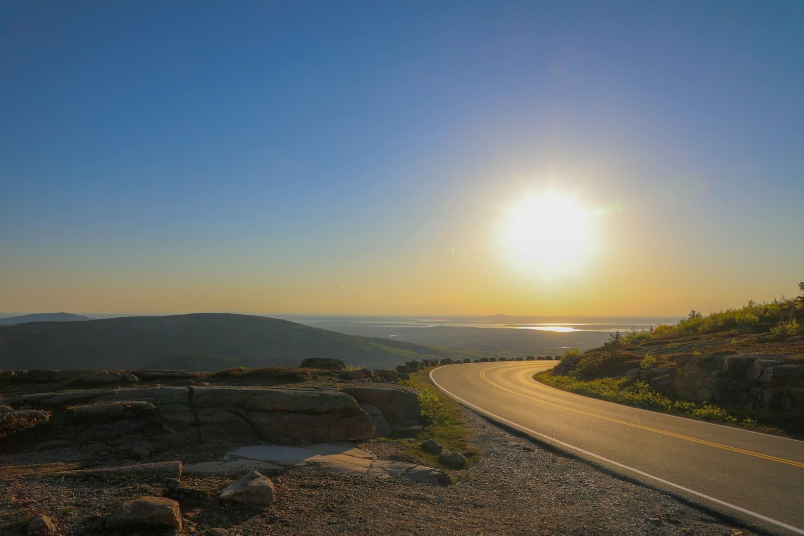
The Katahdin Woods and Waters Scenic Byway circles part of Baxter State Park in northern Maine, with Mount Katahdin, the state’s highest peak, as the backdrop. It runs 89 miles along Route 11, Route 159, and the park roads.
The drive covers the logging towns of Millinocket and Patten, farmland near Sherman, and lakes and river valleys in between. Medway sits where the East and West Branches of the Penobscot River meet, and it is the byway’s gateway town.
Moose are common along the route, and Route 11 is also a gateway to Katahdin Woods and Waters National Monument. It’s a quiet drive, with long stretches that have no services.
Route Details: Katahdin Woods and Waters Scenic Byway
Mile markers below are my estimates. The route description doesn’t give distances between stops.
Togue Pond and Baxter State Park (0 miles)
The byway starts at the Baxter State Park boundary near Togue Pond and follows the Baxter Park Road and Millinocket Lake Road toward town. Mount Katahdin dominates the view. The park roads are unpaved, and nonresidents pay an entrance fee.
Millinocket (14 miles)
Millinocket is the byway’s tourism hub. Route 157 passes between Ambejejus and Millinocket Lakes, two of the largest lakes in Maine, before reaching town. Millinocket has Level 2 chargers and food and lodging.
East Millinocket and Medway (25 miles)
Route 11 continues through East Millinocket to Medway, where the East and West Branches of the Penobscot meet. Medway has a 6-stall Tesla Supercharger and is the usual last stop for supplies before heading north.
East Branch Penobscot turnouts (30-45 miles)
North of Medway, Route 11 follows the East Branch with river trails, scenic turnouts, and a rest area. It is also the gateway to Katahdin Woods and Waters National Monument.
Stacyville and Sherman (52 miles)
Farmland opens up near Stacyville and Sherman, with wide views and Katahdin on the horizon. The Ash Hill Scenic Turnout is the best viewpoint, and Sherman has an I-95 exit.
Patten (62 miles)
Patten is a rural Maine town and home to the Lumbermen’s Museum, which covers the logging history of the region. It is a good place to stop for lunch before the quieter northern leg.
Mount Chase and Shin Pond (75 miles)
Route 159 runs north from Patten through Mount Chase to the village of Shin Pond. Several side trips lead from here, including Shin Falls and the Grand Lake Road.
Matagamon (89 miles)
The byway ends at the Matagamon Gate, the north entrance to Baxter State Park. The road is unpaved from here, and there are few services.
Use the trip planner to build a day-by-day itinerary based on your available time and starting point.