
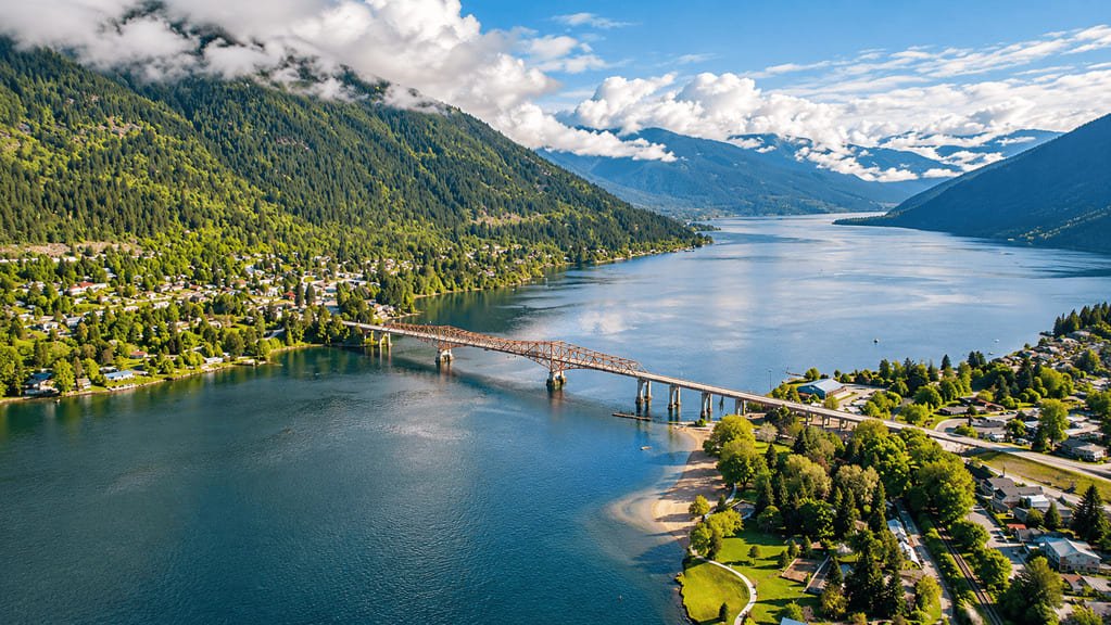
The International Selkirk Loop circles the Selkirk Mountains across northeast Washington, north Idaho, and southeast British Columbia. It is 280 miles long, and travelers describe it as the only international scenic byway on the continent.
The International Selkirk Loop links lakes, small mountain towns, and farm valleys. Sandpoint and Nelson are the biggest towns, and Metaline Falls, Bonners Ferry, Creston, and Kaslo are good for arts and local food.
Part of the Selkirk loop is on the water. The Kootenay Lake Ferry crosses the lake for free and fits into the route without any added cost or planning.
Route Details: International Selkirk Loop
Mile markers below start at Newport. The border crossing, ferry, and total come from published route logs, and the rest are my estimates.
Newport, Washington (0 miles)
Newport sits on the Washington-Idaho line and is where the loop begins on US 2 and Washington State Route 20. It is a small arts town and the last full-service stop before the long run north along the Pend Oreille River.
Metaline Falls (59 miles)
Metaline Falls was one of the first pioneer settlements in Pend Oreille County and is known as a small arts town. A walking tour covers its historic buildings, and Sullivan Lake is a short drive away.
Metaline Falls-Nelway border crossing (73 miles)
Highway 31 reaches the U.S.-Canada border at Nelway, where the road becomes British Columbia Highway 6. Bring a passport and check crossing hours before you travel.
Salmo and Nelson (95-115 miles)
Highway 6 follows the Salmo River north toward Nelson. Nelson is the largest town on the Canadian side, with a Victorian downtown on Kootenay Lake and a 50 kW public fast charger.
Ainsworth Hot Springs and Kokanee Glacier (130 miles)
East of Nelson, BC Highway 3A follows the lake toward Balfour, past Ainsworth Hot Springs, the oldest surviving community on Kootenay Lake. Kokanee Glacier Provincial Park is also nearby.
Kootenay Lake Ferry (135-141 miles)
The ferry runs from Balfour across the lake to Kootenay Bay and is free. It is the loop’s best-known stop, and the views of the Kokanee Glacier are the main reason to ride it.
Crawford Bay (150 miles)
Crawford Bay is a small artisan community on the lake’s east shore. Several studios sit close together past the ferry terminal, and the area is known for handmade wooden brooms.
Creston (182 miles)
Creston sits in a fertile valley between the Selkirk and Purcell Mountains, and has a fast charger. The Creston Valley Wildlife Management Area covers 17,000 acres of wetland near the lake’s south end.
Bonners Ferry (200 miles)
After crossing back into Idaho, the loop reaches Bonners Ferry, which has a 50 kW fast charger that has been unreliable. The town has outdoor recreation and an Old West feel.
Sandpoint (234 miles)
Sandpoint is on Lake Pend Oreille and is the largest town on the U.S. side. Sandpoint City Beach Park is a popular stop, and the town has an active arts and food scene.
Priest River and back to Newport (262-289 miles)
US 2 heads west to Priest River, where the Priest River Museum and Timber Education Centre covers the area’s logging history. Priest Lake is a side trip from here, and the loop closes at Newport.
Use the trip planner to build a day-by-day itinerary based on your available time and starting point.